Cyclists.com

Dubai – Sharjah (85 km)

Dubai, Dubai, United Arab EmiratesRoad

85 km
Distance
93 m
Elevation gain
Moderate
Difficulty
Paved
Surface
Download GPXMap
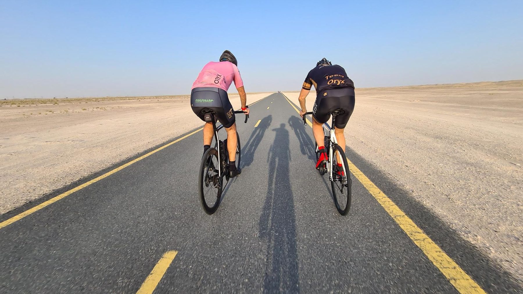
On the road: Dubai – Sharjah (85 km)
AI image

Elevation profile

Total ascent
93 m
Distance
85 km
0255075100125m0 km20406085 km118 m · highest, at 36.8 kmStartFinish · back at the start

Route overview

Suitable for riders looking for a flat 85 km ride with minimal climbing.

An 85 km flat loop ride from Dubai to Lehbab 2 and back on fully paved roads mainly along major and main roads.

This 84.9 km loop route starts and ends in Dubai, passing Lehbab 2 at 38.4 km. The elevation ranges from 50 m to 118 m, with most climbing in the first half of the ride. The profile is predominantly flat with only 0.1 km exceeding gradients of 5%, 8%, and 10% respectively. The ride is fully paved and mainly on major roads (60.4 km) and main roads (20.8 km). It includes 1.5 km on minor roads, 0.9 km on quiet streets, and 0.6 km on cycle paths. There are 81.6 km on main roads without cycle lanes and 75.7 km on roads with speed limits of 80 km/h or more. The longest named roads ridden are Jebel Ali - Lahbab Road for 56.1 km and Al Qudra Street for 19.7 km. Amenities are concentrated at the start and finish in Dubai including convenience stores, restaurants, bike rentals, petrol stations, toilet facilities, and a medical centre. There is a 49.7 km stretch without café, shop, or water along the route. Worth a stop near the route is Dubai Heritage & Culture Village at 37 km (354 m off route).

Highlights

  • Lehbab 2 at 38.4 km
  • Highest point 118 m at 36.8 km
  • Longest named road: Jebel Ali - Lahbab Road (56.1 km)
  • Dubai Heritage & Culture Village near 37 km

Along the route

Measured from the recorded track and OpenStreetMap.

Places passed

  1. Lehbab 2 38.4 km

What this ride is like

Measured from OpenStreetMap along the track and the elevation profile.

Roads
71% major road · 25% main road · 2% minor road · 1% quiet street
Main roads
81.6 km on main roads without a cycle lane — likely busier
Fast roads
75.7 km on roads with a limit of 80 km/h or more
Main roads used
Jebel Ali - Lahbab Road (56 km), Al Qudra Street (20 km)
Surface
Paved throughout
Gradient
0% climbing · 0% descending · 100% flat

Along the way

Within a few hundred metres of the track, from OpenStreetMap. Opening hours change — treat this as where to look, not a promise.

Longest stretch without a café, shop or water: 50 km, from 0 km to 50 km.

Food, water and shops

  1. 0 kmZad Foodstores · convenience store · 60 m off route
  2. 0 kmDrinking water · 100 m off route
  3. 0 kmToilets · 110 m off route
  4. 0 kmCareem · bike rental · 100 m off route
  5. 0 kmADNOC · petrol station · 50 m off route
  6. 0 kmAlqudra Ambulance Medical Centre · clinic · 100 m off route
  7. 49.7 kmENOC · petrol station · 200 m off route
  8. 84.5 kmTrek · bike rental · 90 m off route
  9. 84.7 kmSpicy Village Restaurant · restaurant · 40 m off route
  10. 84.7 kmGeant at ADNOC · convenience store · 40 m off route

Worth a stop

  • 37 kmDubai Heritage & Culture Village (attraction)

At the start and finish

  • Geant at ADNOC · convenience store · 40 m
  • Zad Foodstores · convenience store · 60 m
  • Spicy Village Restaurant · restaurant · 60 m
  • Trek · bike rental · 100 m
  • Careem · bike rental · 100 m

Practical information

Surface
Paved
Route shape
Loop
Riding time
2½–3 hours riding
Season
September with temperatures around 29°C.
Best months
Dec to Feb — daily highs of 25–27 °C in those months

Know before you go

  • No café, shop or water for 49.7 km from start
  • 81.6 km on main roads without cycle lanes
  • 75.7 km on roads with 80 km/h speed limit or above

Routes are for inspiration. Roads, surfaces and conditions change — check locally and ride within your limits.

More rides from Dubai