Road · United Arab Emirates
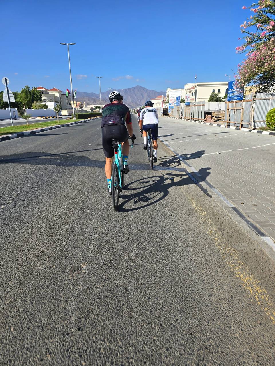
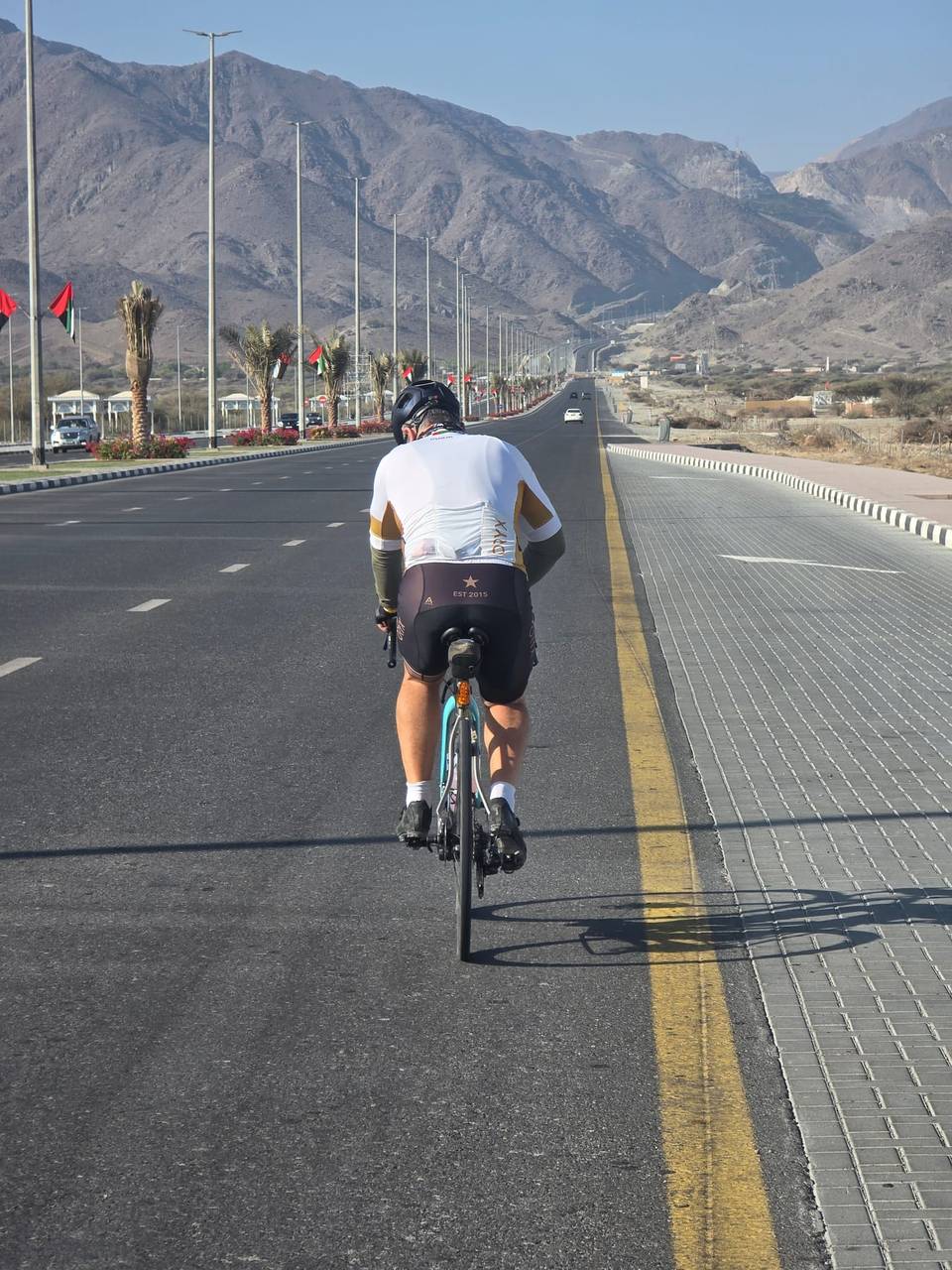
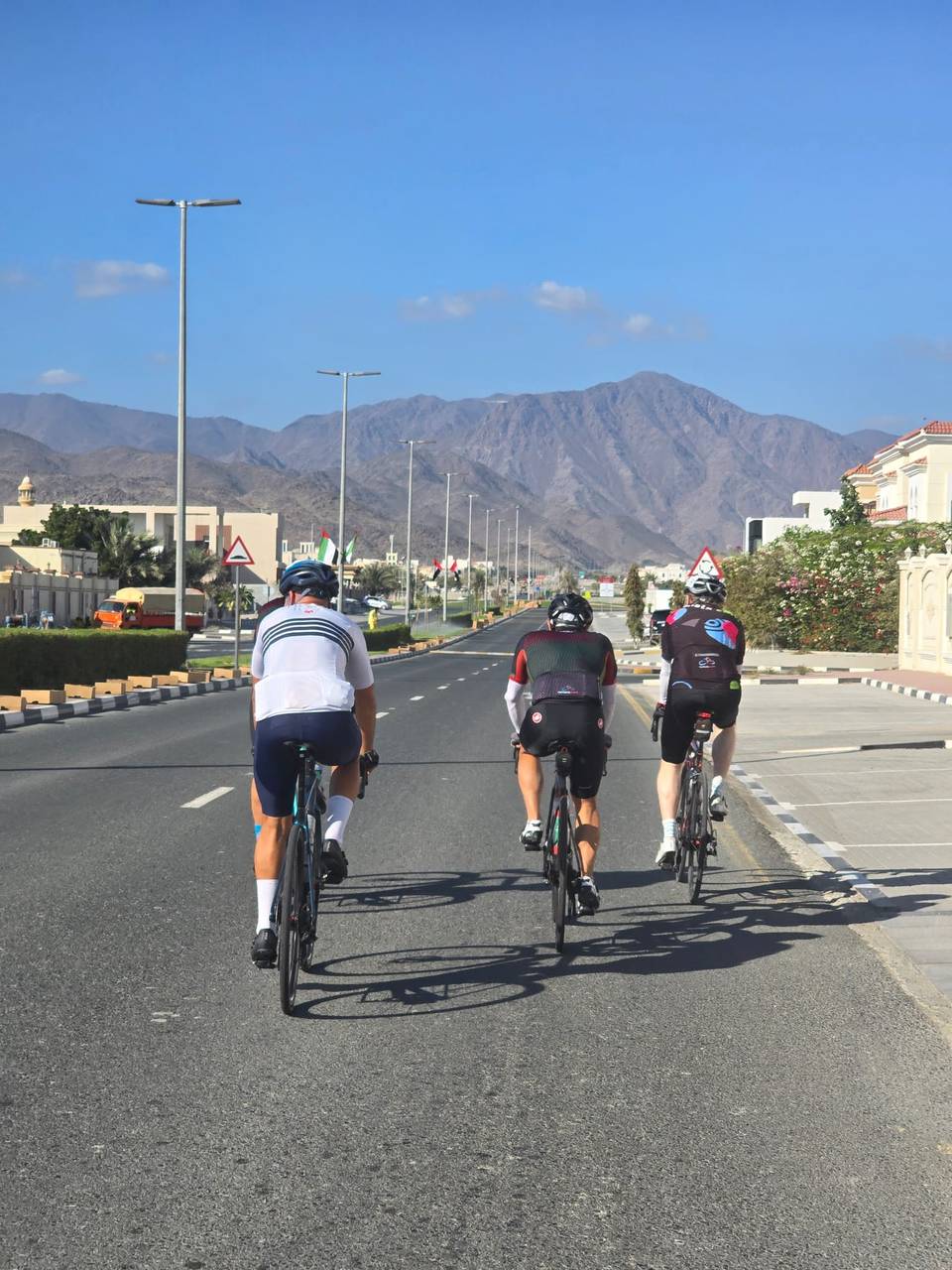
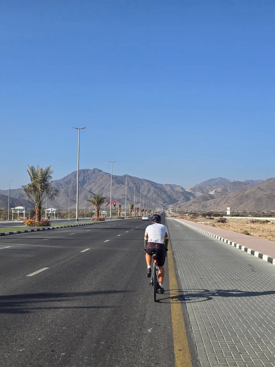
A hilly 74 km road cycling loop from Fujairah through Al Ejili, Al 'Ijе̄lī and Hatta, with 787 m of climbing. Most of it (70.4 km) is on main roads without a cycle lane, 27.7 km where the limit is 80 km/h or more. There is a 35 km stretch without a café, shop or water (km 10–45).
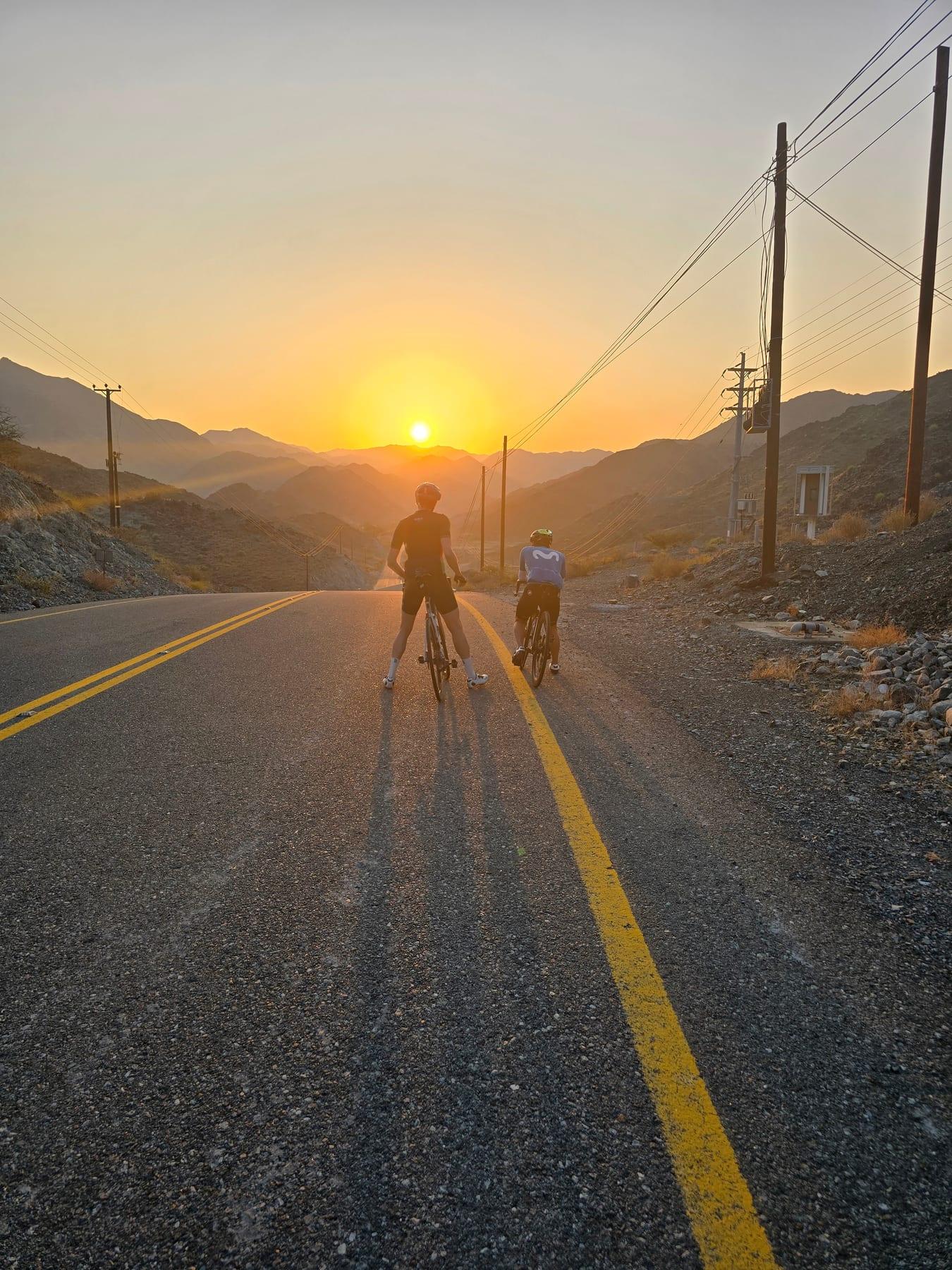
Starting from Al Fujayrah, this 74.1 km loop heads northwest passing through Al 'Ijе̄lī and Al Ejili by 9.7 km and continues past Yaif at 26.9 km and Al Qor (new village) at 33.1 km. The route reaches Hatta just before halfway at 47.9 km and returns through Sufayri, Huwaylat, Al Wa'ab, and Munay before finishing back at Al Fujayrah. The ride includes several climbs, notably early climbs between km 1.1 and 4.9 with gradients averaging around 4.2%. Other climbs occur at km 13.1, 22.1, 30.7, and a longer 3.5 km climb from 33.1 km averaging 2.9%. The highest point is at 455 m elevation reached near km 38.4, beneath Jabal Mudayrah (472 m) and Jabal Laim (420 m). Almost all the route is paved (98%), with a small 2% gravel or unpaved. The roads mainly are main roads (37 km), motorways (27 km), and major roads (7 km). However, 70.4 km are on main roads without cycle lanes and 27.7 km are on roads with speed limits of 80 km/h or more. There is a long 35 km stretch between 10 and 45 km with no café, shop or water. Facilities including a restaurant and shops are mainly found at around 48 km near Hatta.
| Climb | Starts at | On this ride | Top on this ride |
|---|---|---|---|
| Unnamed climb | 1.1 km | 1.4 km · 60 m · 4.2 % · max 8 % | 380 m |
| Unnamed climb | 3 km | 1.9 km · 81 m · 4.2 % · max 7.6 % | 449 m |
| Unnamed climb | 13.1 km | 1.3 km · 46 m · 3.6 % · max 6.6 % | 450 m |
| Unnamed climb | 22.1 km | 1.7 km · 51 m · 3 % · max 4.4 % | 363 m |
| Unnamed climb | 30.7 km | 1.3 km · 42 m · 3.3 % · max 5.2 % | 318 m |
| Unnamed climb | 33.1 km | 3.5 km · 101 m · 2.9 % · max 4.7 % | 419 m |
| Unnamed climb | 37 km | 1.4 km · 42 m · 3 % · max 4 % | 455 m |
| Unnamed climb | 49.8 km | 2.2 km · 83 m · 3.8 % · max 6 % | 386 m |
| Unnamed climb | 52.6 km | 1.2 km · 54 m · 4.4 % · max 7.6 % | 407 m |
| Unnamed climb | 65.4 km | 1.3 km · 44 m · 3.6 % · max 6.2 % | 279 m |
This is not a cycle-track route: 95% is on main roads without a cycle lane, 27.7 km of it where the limit is 80 km/h or more. Riders should be comfortable sharing the road with faster traffic.
The longest stretch without a café, shop or water is 35 km, from km 10 to 45. Along the route: 10 cafés and restaurants, 3 shops, 2 water points, 4 petrol stations and 1 public toilet.