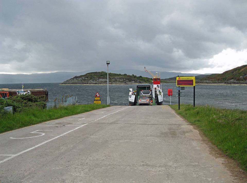
Road · United Kingdom
A mountainous 38 km road cycling route from Kames, Argyll and Bute through Auchgoyle, Millhouse and Auchoirk Farm, with 610 m of climbing. There is a 25 km stretch without a café, shop or water (km 13–38).
The route starts in Kames at 0.1 km, passing near peaks such as Cnoc a' Chuilinn at 0.6 km. It follows a mix of minor roads and main roads, with 15.9 km on main roads without a cycle lane and the longest segments on B8000 (14.9 km), C11 (8.5 km), and C7 (6.3 km). The surface is mostly paved (99%) with 1% gravel or unpaved.
Climbing begins just after 13 km near Auchgoyle and Millhouse, including three main climbs: a 4.2 km climb at 3.2% average gradient gaining 135 m starting at 13.1 km; a 2.2 km climb at 4.3% average gradient gaining 94 m from 23.7 km; and a 4.7 km climb averaging 5.4% with sections up to 10.7%, gaining 250 m from 28.7 km to reach the high point of 317 m at 33.4 km. Descents are also significant, with a longest descent of 3.4 km dropping 297 m from 33.5 km.
The route passes through places including Auchgoyle (13 km), Millhouse (13.6 km), Melldalloch (18.8 km), Kilfinan (23.2 km), and Fearnoch (24.3 km), ending near Clachan of Glendaruel at 37.4 km. Facilities are limited after 13.4 km; the longest stretch without café, shop or water is 24.9 km. Near the start at Kames, there are pubs, cafés, a convenience store, and toilets within a few hundred metres.
| Climb | Starts at | On this ride | Top on this ride |
|---|---|---|---|
| Unnamed climb | 13.1 km | 4.2 km · 135 m · 3.2 % · max 5.3 % | 158 m |
| Unnamed climb | 23.7 km | 2.2 km · 94 m · 4.3 % · max 7 % | 114 m |
| Unnamed climb | 28.7 km | 4.7 km · 250 m · 5.4 % · max 10.7 % | 317 m |
Expect stretches on main roads without a cycle lane (15.9 km in all) between quieter sections.
The longest stretch without a café, shop or water is 25 km, from km 13 to 38. Along the route: 5 cafés and restaurants, 1 shop and 1 public toilet.