Cyclists.com

Five Ferries Route

Portavadie, Argyll and Bute, United KingdomRoad

Signed route The waymarked Five Ferries Route (regional route 5F), traced from OpenStreetMap and measured against the terrain model; no member has recorded it yet. Ridden it? Add your recording and photos.

48 km
Distance
593 m
Elevation gain
Moderate
Difficulty
Paved
Surface
Download GPXMap

Elevation profile

Total ascent
593 m
Distance
48 km
050100150200m0 km1020304048 km188 m · highest, at 12.9 kmStartFinish

Route overview

Suitable for cyclists comfortable with moderate climbs over 47.5 km.

47.5 km route from Portavadie to Dunoon in Argyll and Bute, with 593 m climbing.

The ride begins at Portavadie and initially climbs 2.1 km gaining 52 m to 57 m height. It heads through Millhouse, Kames, and Tighnabruaich by 7.1 km, beginning a longer 6 km climb from 6.8 km altitude gain 181 m to 187 m over varied gradients up to 8.2%. Past Auchnagarron and Auchenbreck at about 21-22 km, another climb of 2.9 km starts at 21.6 km climbing 124 m to 147 m. After Lochhead and Ardtaraig, there is a further 3.7 km climb from 27.3 km gaining 132 m to reach 140 m. The route descends towards Dunoon finishing at 1 m height. Nearly all of the 47.5 km runs mainly on paved roads, predominantly main roads (41.3 km, all without cycle lanes), including 16.6 km on the B836, 12.3 km on the A8003, and 7.8 km on the A815. The surface is 98% paved with a short 1% gravel or unpaved section. Notable peaks near the road include Barr Lolaich at 2.4 km, Dun Mor at 8.4 km, and A' Chruach at 26.1 km. There is a long 33 km stretch without café, shop or water from 7.9 km to 40.9 km. Cafés and shops can be found at the start around 5.7 km and near the finish in Dunoon, including the Wild Kitchen café and Cowal Cottage Bakery.

Highlights

  • Climb to 187 m at 12.8 km
  • Peaks Barr Lolaich and Dun Mor nearby
  • Longest uninterrupted stretch without facilities 33 km
  • Ends at Dunoon with several cafés and shops

Along the route

Measured from the recorded track and OpenStreetMap.

Places passed

  1. Millhouse 4 km
  2. Kames 6 km
  3. Tighnabruaich 7.1 km
  4. Port Driseach 9.1 km
  5. Auchnagarron 20.9 km
  6. Auchenbreck 22.3 km
  7. Lochhead 27.9 km
  8. Ardtaraig 28.7 km
  9. Clachaig 35.6 km
  10. Ballochyle 38.3 km
  11. Dalinlongart 38.8 km
  12. Sandhaven 39.3 km
  13. Sandbank 41.1 km
  14. Ardnadam 42.5 km
  15. Hunters Quay 44.2 km
  16. Kirn 45.3 km

Climbs

ClimbStarts atLengthGainAverageMaxTop
0 km2.1 km52 m2.5 %4.5 %57 m
6.8 km6 km181 m3 %8.2 %187 m
21.6 km2.9 km124 m4.4 %6.1 %147 m
27.3 km3.7 km132 m3.6 %5.9 %140 m

High point 187 m at 12.8 km; low point 1 m. Passes beneath Cnoc na Cille, Barr Lolaich, Cnoc a' Chuilinn.

What this ride is like

Measured from OpenStreetMap along the track and the elevation profile.

Roads
87% main road · 8% minor road · 2% quiet street · 1% track
Main roads
41.3 km on main roads without a cycle lane — likely busier
Fast roads
14.7 km on roads with a limit of 80 km/h or more
Main roads used
B836 (17 km), A8003 (12 km), A815 (8 km), UC26 (4 km)
Surface
Paved throughout
Gradient
29% climbing · 25% descending · 46% flat
Steep sections
3.1 km over 5% · 0.3 km over 8% · steepest 500 m averages 8% at 8.1 km
Longest descent
4.3 km from 13 km, dropping 177 m

Along the way

Within a few hundred metres of the track, from OpenStreetMap. Opening hours change — treat this as where to look, not a promise.

Longest stretch without a café, shop or water: 33 km, from 8 km to 41 km.

Food, water and shops

  1. 0 kmToilets · on the route
  2. 5.7 kmWild Kitchen · café · 40 m off route
  3. 6 kmDuncan's Village Store · convenience store · 110 m off route
  4. 6 kmToilets · 160 m off route
  5. 40.9 kmGeneral Store · convenience store · 40 m off route
  6. 41 kmToilets · on the route
  7. 41.2 kmThe Holy Loch Coffee Shop · café · 60 m off route
  8. 45.4 kmCowal Cottage Bakery · bakery · on the route
  9. 46.4 kmPetrol station · on the route
  10. 46.8 kmMorrisons · supermarket · 150 m off route
  11. 46.9 kmToilets · on the route
  12. 47.1 kmrightmedicine Pharmacy · pharmacy · 80 m off route
  13. 47.2 kmTop Up Tap · drinking water · 30 m off route

Need to bail out?

  • 44.3 kmFerry, 80 m off route

Whether bikes are carried depends on the service — check before relying on it.

Worth a stop

  • 2.4 kmBarr Lolaich (peak, 116 m)
  • 8.4 kmDun Mor (peak, 164 m)
  • 13.4 kmTighnabruaich Viewpoint (viewpoint)
  • 16.5 kmTorr Buidhe (peak, 114 m)
  • 39.6 kmBird Hide (viewpoint)
  • 44.8 kmViewpoint (viewpoint)

At the finish

  • Rock Cafe · café · 190 m
  • rightmedicine Pharmacy · pharmacy · 300 m
  • Cowal Cottage Bakery · bakery · 470 m
  • Akam Palace · restaurant · 300 m
  • Chilli Grillz · fast food · 300 m

Stay after this ride

  • The Argyll Hotel · hotel · 270 m from the finish
  • The Cedars · guest house · 570 m from the finish
  • Craigieburn Guest House · guest house · 770 m from the finish
  • Esplanade Hotel · hotel · 410 m from the finish
  • Milton Tower Hotel · hotel · 430 m from the finish

Practical information

Surface
Paved
Route shape
Point to point
Riding time
3 h 24 min
Best months
Jun to Aug — daily highs of 17 °C in those months

Know before you go

  • 33 km with no café, shop or water from 7.9 km to 40.9 km
  • 41.3 km on main roads without cycle lane
  • 14.7 km on roads with 80 km/h+ speed limits
  • Short gravel or unpaved section

Routes are for inspiration. Roads, surfaces and conditions change — check locally and ride within your limits.

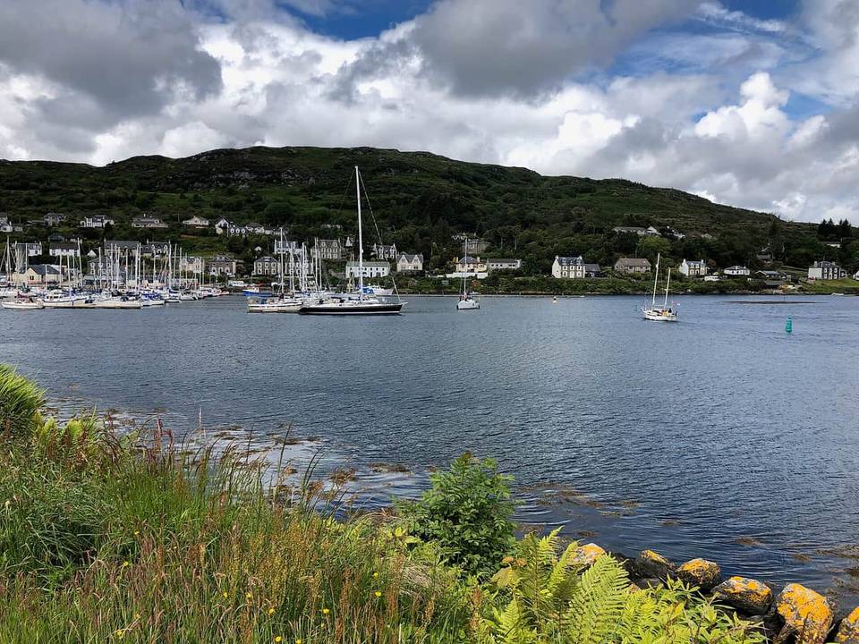
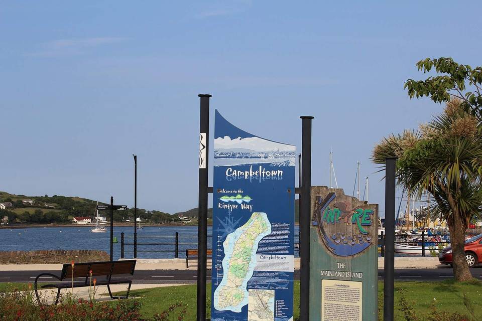
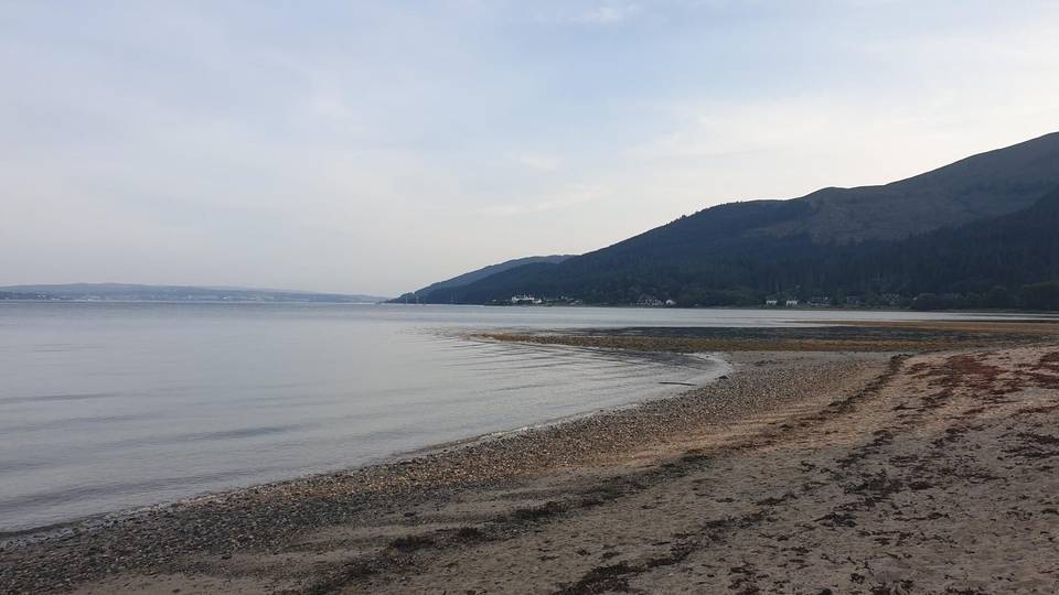
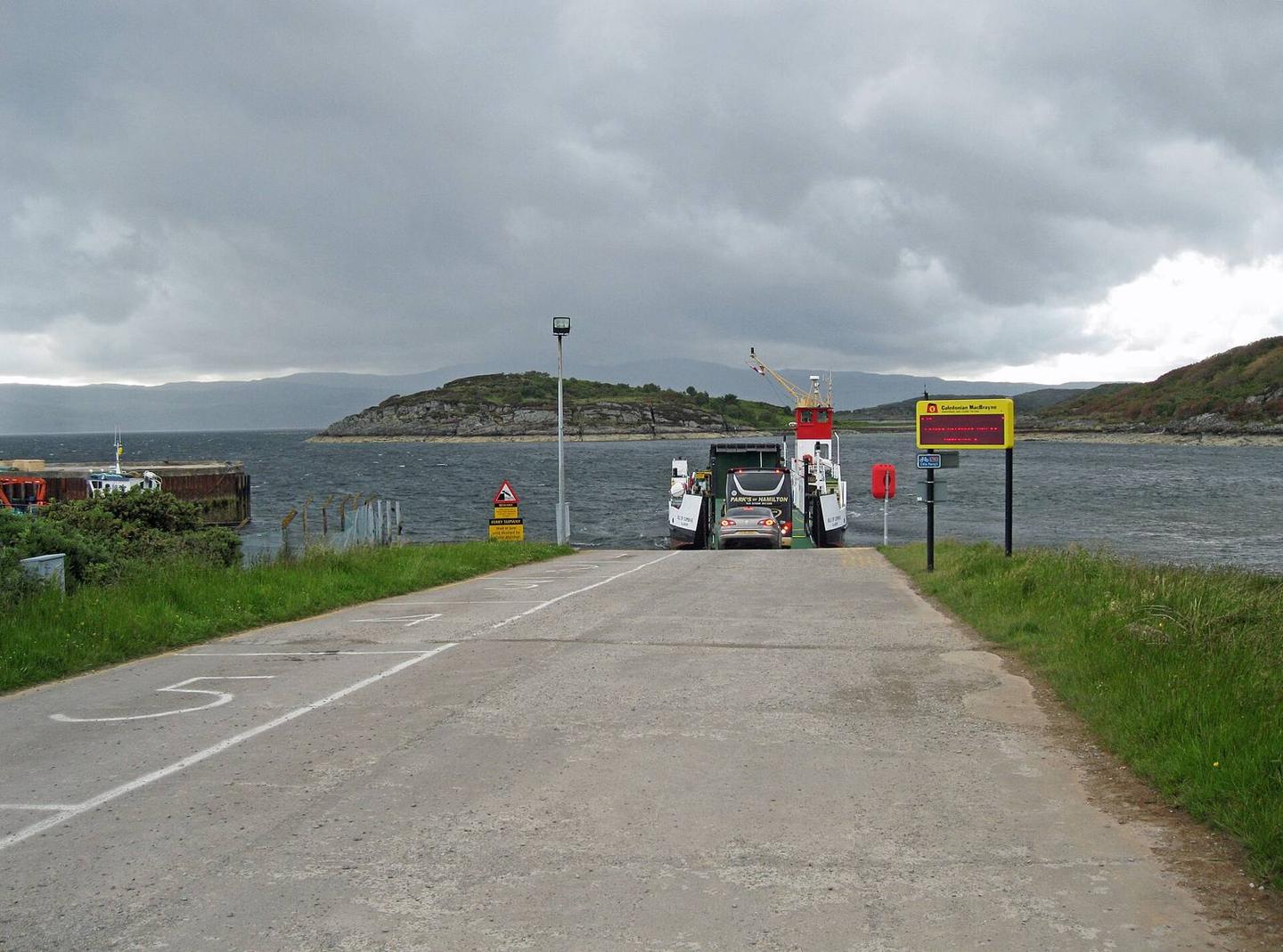
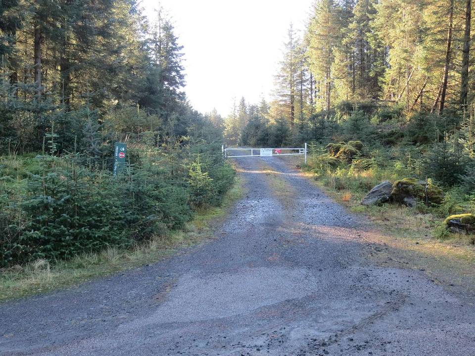
2 photographs from the road

Photo: Trougnouf (Benoit Brummer) · CC BY-SA 4.0 · Wikimedia Commons · Photo: Bob Jones · CC BY-SA 2.0 · Wikimedia Commons · Photo: Steven Brown · CC BY-SA 2.0 · Wikimedia Commons