Road · Switzerland
Verbier from Le Châble
A mountainous 8 km road cycling route from Le Châble through Fontenelle-Dessous, Fontenelle-Dessus and Médières, with 642 m of climbing over the Le Châble climb.
At a glance
- Best for
- Short, climbing-heavy rides
- Distance
- 8.2 km
- Elevation gain
- 642 m
- Riding time
- 35 min
- Difficulty
- Easy
- Bike
- Road bike
- Surface
- Paved
- Best months
- May to Oct
- Navigation
- GPX download
- Start → finish
- Le Châble
Map and elevation profile
Elevation profile
- 642 m
- 8 km
Route description
- Le Châble
- Le Châble climb
- Fontenelle-Dessous
- Fontenelle-Dessus
- Médières
- Le Bry
- Verbier Village
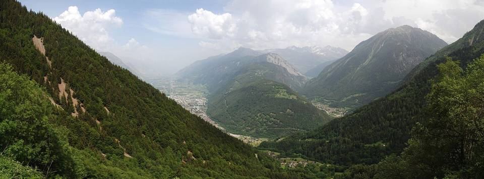
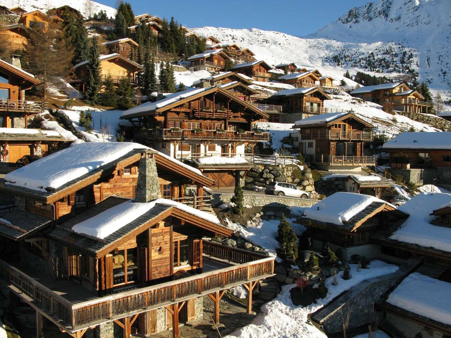
Starting at Le Châble (827 m), the route climbs continuously for 8 km to reach Verbier at 1470 m. The average gradient is 8%, with sections reaching a maximum of 11.2%. Nearly the entire route involves climbing, with 7.8 km over 5% gradient including 4 km above 8% and 0.7 km above 10%.
The route is almost completely paved (99%) and mostly on main roads (78%), including 6.4 km on road 205 without cycle lanes, and 3.6 km on roads with speed limits over 80 km/h. The climb passes through small settlements such as Villette, Cotterg, and Médières. Services are sparse between km 1.4 and 7.1 with no café, shop or water for 5.7 km, so refuelling should be done at the start or finish.
At Le Châble, there are several facilities including cafés, bakeries, supermarkets, and a bike shop. At the top in Verbier, there are bakeries, multiple restaurants, supermarkets, a pharmacy, and toilets. A bail-out option is available near Le Châble station early in the climb.
Why ride this route?
- Climbs the Le Châble climb (8 km at 8 %).
- Tops out at 1,470 m, 8.2 km in.
Highlights
- Verbier at 1470 m
- 8 km climb with 642 m gain
- Passes through Médières and Le Bry
- Long steep sections over 8% gradient
Along the route
Places passed
On the road
Climbs
| Climb | Starts at | On this ride | Full ascent | Top on this ride |
|---|---|---|---|---|
| Le Châble climb | 0.1 km | 8 km · 641 m · 8 % · max 11.2 % | 8 km · 641 m · 8 % | 1470 m |
Le Châble climb · full ascent, starts at 0.1 km
< 4%4 – 7%7 – 10%> 10%
Know before you go
- 6.4 km on main roads without cycle lanes
- 3.6 km on roads with 80 km/h+ speed limits
- No café, shop or water for 5.7 km from km 1.4 to 7.1