Cyclists.com

Port de Balès from Mauléon-Barousse

Mauléon-Barousse, FranceRoad

Routed from the map This classic road was traced on OpenStreetMap and measured against the terrain model; no member has recorded it yet. Ridden it? Add your recording and photos.

19 km
Distance
1,168 m
Elevation gain
Moderate
Difficulty
Paved
Surface

Elevation profile

Total ascent
1,168 m
Distance
19 km
Elevation (m)05001,0001,5002,0000 km5 km10 km15 km19 kmHighest point1,749 m at 19.2 kmStart0 kmFinish19 km

Route overview

This route suits experienced climbers comfortable with sustained gradients over 19 km.

19.2 km climb to Port de Balès from Mauléon-Barousse in France with 1168 m elevation gain.

The route starts at Mauléon-Barousse at 580 m elevation and climbs 2.2 km at an average gradient of 4.5%, gaining 97 m to 677 m. It then continues for 16.5 km more, climbing 1069 m at an average gradient of 6.5%, reaching a maximum elevation of 1748 m near the end at 19.1 km. The road is almost entirely paved (99%) and runs mainly on minor roads, with 18.7 km on the named road D 925. Climbing accounts for 94% of the route, with 11.1 km over 5% gradient, 5.9 km over 8%, and 2.6 km over 10% gradient. There is very little descending (1%) and flat sections (5%). Facilities near the start include the restaurant Hôtel des Pyrénées, a pizzeria, a petrol station, and a water tap. There is also a water tap at 3.2 km. From 3.2 km to the finish at 19.1 km there is no café, shop, or water for 15.9 km. Near the end is the café Le Petit Refuge at 19.1 km and the peak Montagne de Séuès 336 m off route at 17.3 km. The attraction Gouffre de Saoule lies 26 m off route at 1.1 km. The road surface is nearly all paved minor road with no significant bail out points indicated.

Highlights

  • Port de Balès summit at 1748 m
  • Climb from 580 m to 1748 m over 19.2 km
  • Gouffre de Saoule at 1.1 km off route
  • Montagne de Séuès peak near route at 17.3 km

Along the route

Measured from the recorded track and OpenStreetMap.

Climbs

ClimbStarts atLengthGainAverageMaxTop
0 km2.2 km97 m4.5 %8.8 %677 m
Mauléon-Barousse climb2.6 km16.5 km1069 m6.5 %11.5 %1748 m

High point 1748 m at 19.1 km; low point 580 m.

Mauléon-Barousse climb · starts at 2.6 km

16.5 km at 6.5% · 1069 m
8001000120014001600ELEVATION (M)4.8%6.3%9.6%6.5%6.8%8.7%3.5%8.7%10%9.2%7.4%8.1%0 km12345678910111213141516.4 kmDISTANCE (KM)Mauléon-Barousse climb · 1,748 mSTEEPEST 10.2%
< 4%4 – 7%7 – 10%> 10%

What this ride is like

Measured from OpenStreetMap along the track and the elevation profile.

Roads
98% minor road
Main roads used
D 925 (19 km)
Surface
Paved throughout
Gradient
94% climbing · 1% descending · 5% flat
Steep sections
11.1 km over 5% · 5.9 km over 8% · 2.6 km over 10%

Along the way

Within a few hundred metres of the track, from OpenStreetMap. Opening hours change — treat this as where to look, not a promise.

Longest stretch without a café, shop or water: 16 km, from 3 km to 19 km.

Food, water and shops

  1. 0 kmHôtel des Pyrénées · restaurant · on the route
  2. 0 kmWater tap · on the route
  3. 0 kmPetrol station · 180 m off route
  4. 3.2 kmWater tap · on the route
  5. 19.1 kmLe Petit Refuge · café · on the route

Worth a stop

  • 1.1 kmGouffre de Saoule (attraction)
  • 17.3 kmMontagne de Séuès (peak, 1750 m)

At the start

  • Hôtel des Pyrénées · restaurant · 20 m
  • Pizzeria · fast food · 140 m

At the finish

  • Le Petit Refuge · café · 30 m

Stay after this ride

  • Le Sapin Fleuri · hotel · 1.8 km from the finish

Practical information

Surface
Paved
Route shape
Point to point
Riding time
1 h 22 min

Know before you go

  • 15.9 km without café, shop or water after 3.2 km
  • 18.7 km on D 925 road

Routes are for inspiration. Roads, surfaces and conditions change — check locally and ride within your limits.

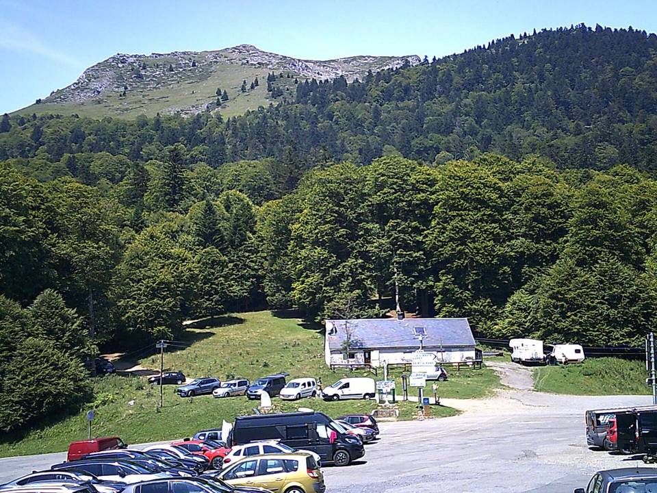
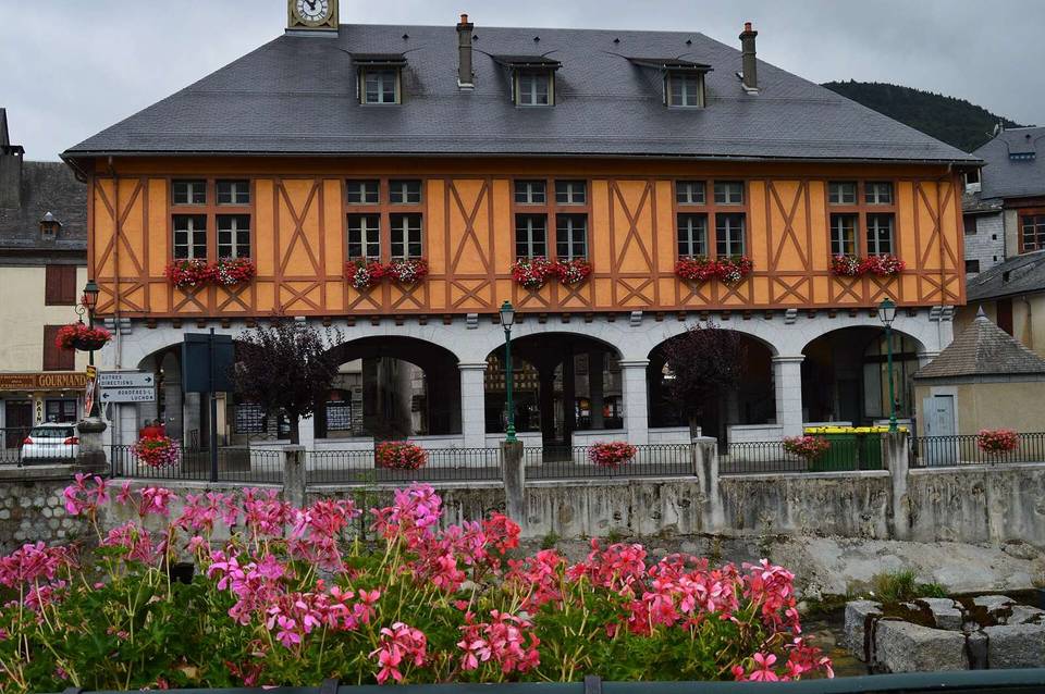
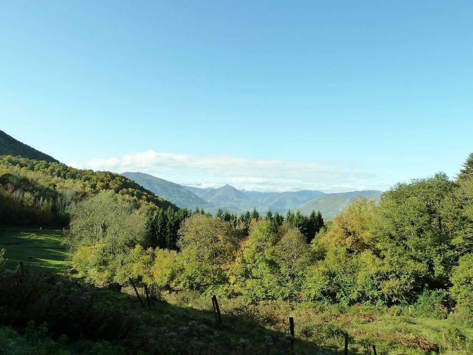
2 photographs from the road

Photo: Paternel 1 · CC BY-SA 4.0 · Wikimedia Commons · Photo: Père Igor · CC BY-SA 3.0 · Wikimedia Commons