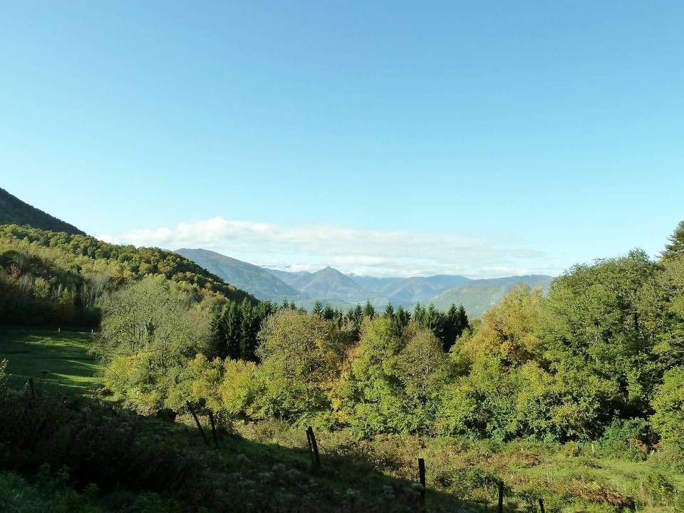
Col de Menté from Saint-Béat
- 11 km
- 848 m
- Moderate
- Paved
Elevation profile
- 848 m
- 11 km
Route overview
Suitable for cyclists looking for a short but steep climb with significant elevation gain.
11.4 km climb to Col de Menté from Saint-Béat in France, gaining 848 m.
The route starts near Saint-Béat and leads onto the Col de Menté, climbing steadily for 9.8 km from km 1.6 to the summit at 1350 m. The climb has an average gradient of 8.7% with a maximum of 10.8%, making for a sustained challenge. Elevation rises from 502 m at the base of the climb to its peak at 1350 m. The road surface is nearly entirely paved, with 98% tarmac coverage and 2% gravel or unpaved sections. Most of the ride (85%) is on main roads, primarily the D 44 for 8.5 km, without a dedicated cycle lane for 9.7 km. Minor roads cover 12% of the distance. The profile includes 86% climbing, with 7.3 km above 8% gradient and nearly 2 km above 10% gradient. Along the route there are amenities early on, including a convenience store named Vival and a fast food outlet called Faim 2 Loups around 1.6 km that are slightly off route. Drinking water is available at km 1.1 and 5.1, while toilets are near km 4.3. The final 6.3 km from km 5.1 to the top is the longest stretch without café, shop or water. A restaurant named La Soulan is located near the summit.
Highlights
- Climb averaging 8.7% over 9.8 km
- Summit at 1350 m elevation
- Route primarily on D 44 main road
- Toilets at 4.3 km, water at 1.1 km and 5.1 km
Along the route
Climbs
| Climb | Starts at | Length | Gain | Average | Max | Top |
|---|---|---|---|---|---|---|
| Saint-Béat climb | 1.6 km | 9.8 km | 848 m | 8.7 % | 10.8 % | 1350 m |
Saint-Béat climb · starts at 1.6 km
What this ride is like
- Roads
- 85% main road · 12% minor road
- Main roads
- 9.7 km on main roads without a cycle lane — likely busier
- Main roads used
- D 44 (9 km)
- Surface
- Paved throughout
- Gradient
- 86% climbing · 7% descending · 7% flat
- Steep sections
- 9.6 km over 5% · 7.3 km over 8% · 1.9 km over 10%
Along the way
Food, water and shops
- 1.1 kmDrinking water · 170 m off route
- 1.6 kmFaim 2 Loups · fast food · on the route
- 1.6 kmVival · convenience store · 180 m off route
- 1.6 kmPharmacie Fages · pharmacy · 220 m off route
- 4.3 kmToilets · on the route
- 5.1 kmDrinking water · on the route
- 11.4 kmLa Soulan · restaurant · 70 m off route
Worth a stop
- 5.4 km — Tuc de Saint-Germes (peak)
At the finish
- La Soulan · restaurant · 70 m
Stay after this ride
- Bivouac possible · campsite · 960 m from the finish
- Tuc de l'Étang · hotel · 930 m from the finish
- Résidence de Vacances - PCM Les Sources · hotel · 1.4 km from the finish
Practical information
- Paved
- Point to point
- 49 min
Know before you go
- 9.7 km on main roads with no cycle lane
- Long 6.3 km stretch without café, shop or water from km 5.1 to 11.4
- Maximum gradient of 10.8% for steep sections
- 2% of route on gravel or unpaved surface