Cyclists.com

Megève Altiport from Megève

Megève, FranceRoad

Routed from the map This classic road was traced on OpenStreetMap and measured against the terrain model; no member has recorded it yet. Ridden it? Add your recording and photos.

6 km
Distance
349 m
Elevation gain
Easy
Difficulty
Paved
Surface

Elevation profile

Total ascent
349 m
Distance
6 km
Elevation (m)02505007501,0001,2501,5000 km2 km4 km6 kmHighest point1,437 m at 6.2 kmStart0 kmFinish6 km

Route overview

Suitable for cyclists seeking a short but steep climb with gradients up to 14.8%.

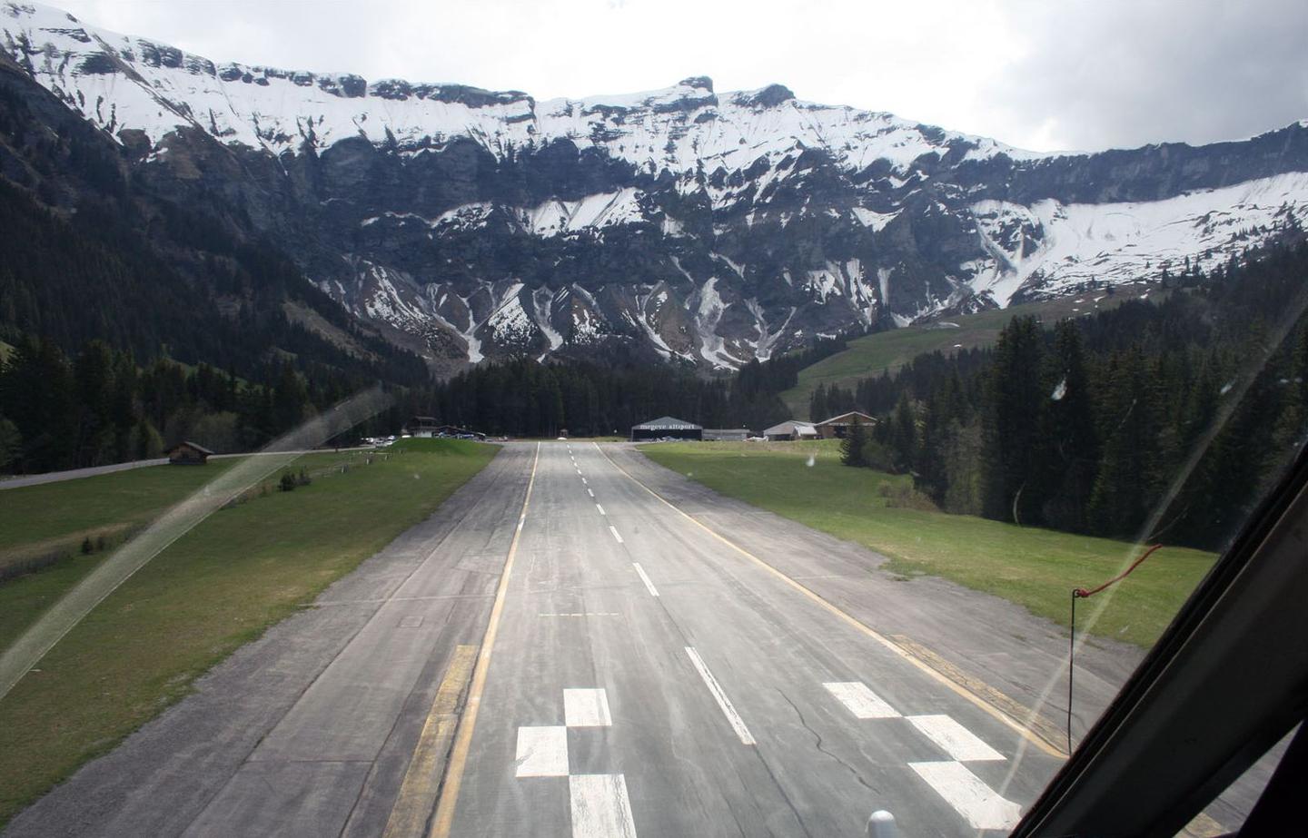
6.2 km climb from Megève to Megève Altiport in France with 349 m ascent.

The route starts in Megève at 1103 m and mainly ascends to Megève Altiport at 1436 m over 6.2 km, gaining 349 m in elevation. The climb begins steeply with the first 2.5 km rising 222 m at an average gradient of 8.9%, reaching a maximum incline of 14.8%. This is followed by a second climb starting at 3.5 km, which gains 124 m over 2.8 km at an average gradient of 4.5% and a maximum of 7.1%. The overall profile features 85% climbing, with 2.8 km above 5% gradient and 1.3 km exceeding 10% gradient. The surface is 98% paved with a small portion unmapped, spread across quiet streets (51%), roads with cycle lanes (37%), and minor roads (8%). The route includes 2.9 km on roads with speed limits of 80 km/h or more. Services at the start in Megève include multiple restaurants, bars, a bakery (Le montagnard), and a patisserie, as well as a convenience store and bike shop. Along the route there is a 2.5 km stretch without café, shop, or water from 2.2 km to 4.7 km. Toilets are available near the start and at 4.7 km. At the finish near Megève Altiport, there is a restaurant called Le petit Lay very close to the route.

Highlights

  • First 2.5 km climb averages 8.9% gradient
  • Route surface 98% paved
  • Starts in Megève with multiple eateries and shops
  • 2.5 km without café, shop, or water mid-route

Along the route

Measured from the recorded track and OpenStreetMap.

Climbs

ClimbStarts atLengthGainAverageMaxTop
Megève climb0.1 km2.5 km222 m8.9 %14.8 %1327 m
3.5 km2.8 km124 m4.5 %7.1 %1436 m

High point 1436 m at 6.2 km; low point 1103 m.

Megève climb · starts at 0.1 km

2.5 km at 8.9% · 222 m
1150120012501300ELEVATION (M)13%8.9%0 km122.5 kmDISTANCE (KM)Megève climb · 1,327 mSTEEPEST 12.7%
< 4%4 – 7%7 – 10%> 10%

What this ride is like

Measured from OpenStreetMap along the track and the elevation profile.

Roads
51% quiet street · 37% road with cycle lane · 8% minor road
Fast roads
2.9 km on roads with a limit of 80 km/h or more
Cycle paths
2.3 km on cycle paths or roads with a cycle lane
Surface
Paved throughout
Gradient
85% climbing · 10% descending · 5% flat
Steep sections
2.8 km over 5% · 1.5 km over 8% · 1.3 km over 10%

Along the way

Within a few hundred metres of the track, from OpenStreetMap. Opening hours change — treat this as where to look, not a promise.

Food, water and shops

  1. 0 kmLe montagnard · bakery · 90 m off route
  2. 0 kmToilets · 30 m off route
  3. 0 kmPharmacy · on the route
  4. 0.2 kmLe Petit Casino · convenience store · 60 m off route
  5. 0.2 kmAlp'ventures · bike shop · 440 m off route
  6. 4.7 kmToilets · on the route
  7. 5.6 kmLe petit Lay · restaurant · 50 m off route

At the start

  • Le montagnard · bakery · 110 m
  • Restaurant Le Cintra · restaurant · 30 m
  • Ladurée · patisserie · 120 m
  • Le Hibou Blanc · restaurant · 50 m
  • Le S · bar · 60 m

At the finish

  • Le petit Lay · restaurant · 530 m

Stay after this ride

  • Four Seasons Hotel Megève · hotel · 2.7 km from the finish

Practical information

Surface
Paved
Route shape
Point to point
Riding time
27 min

Know before you go

  • 2.5 km without café, shop or water from km 2.2 to 4.7
  • 2.9 km on roads with 80 km/h or more speed limit

Routes are for inspiration. Roads, surfaces and conditions change — check locally and ride within your limits.

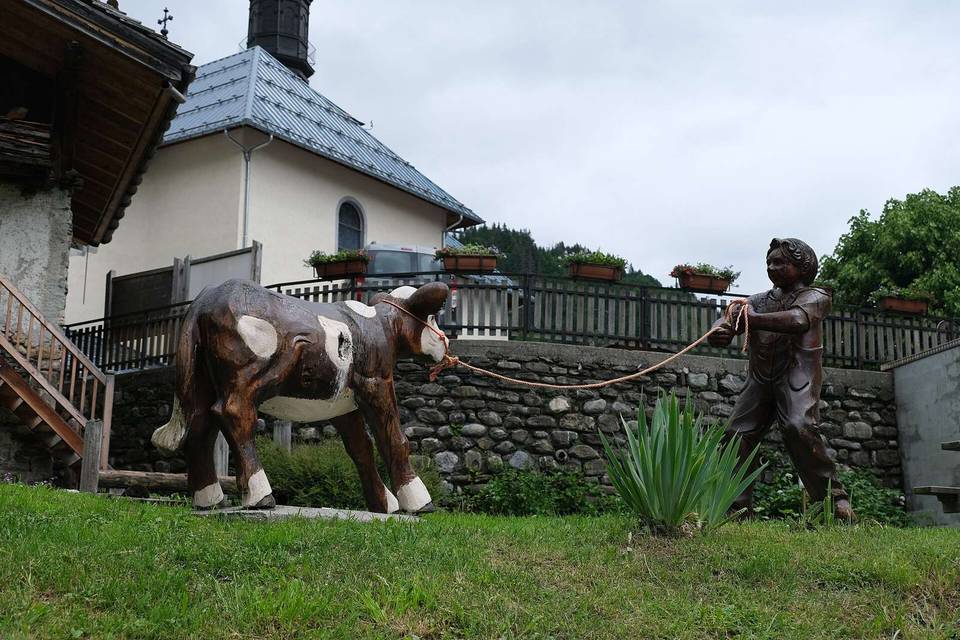
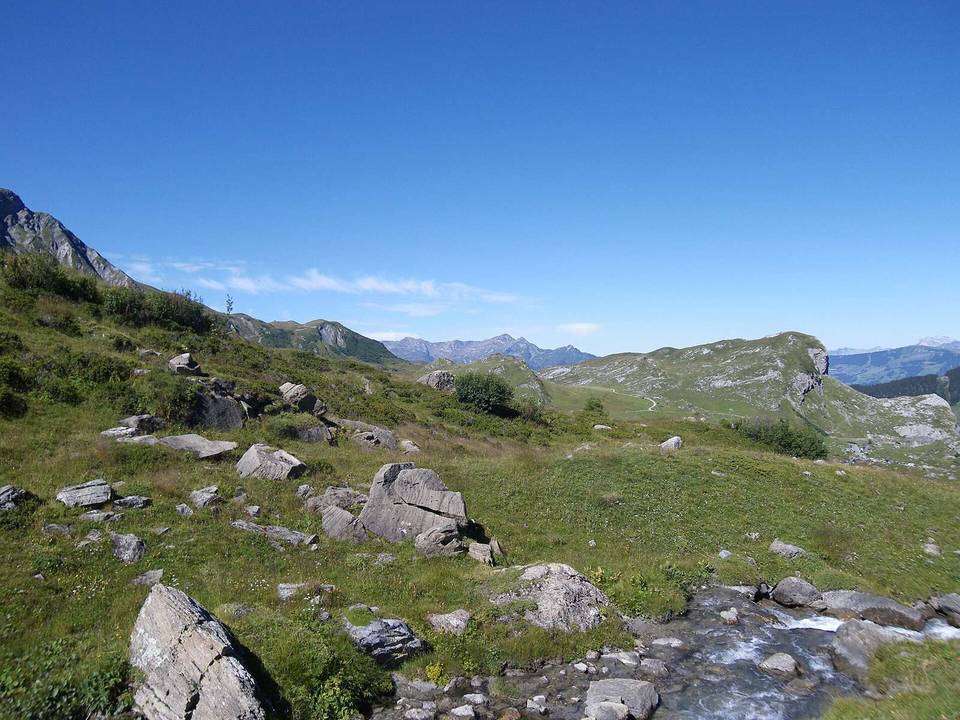
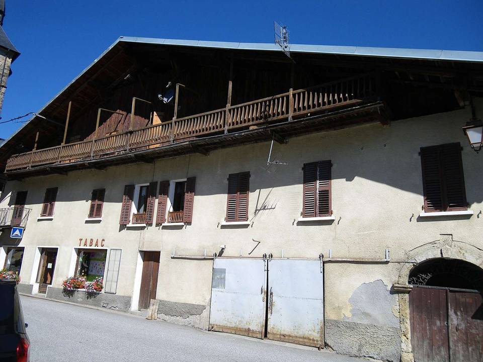
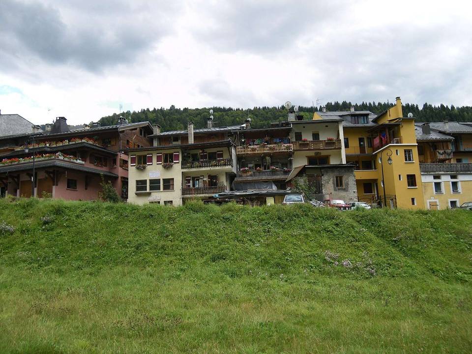
2 photographs from the road

Photo: Carsten Steger · CC BY-SA 4.0 · Wikimedia Commons · Photo: Wompratte · CC BY-SA 4.0 · Wikimedia Commons · Photo: DimiTalen · CC0 · Wikimedia Commons