Road · United Kingdom
A rolling 68 km road cycling loop from Melton Mowbray, England through Sysonby, Scalford and Knipton, with 340 m of climbing.
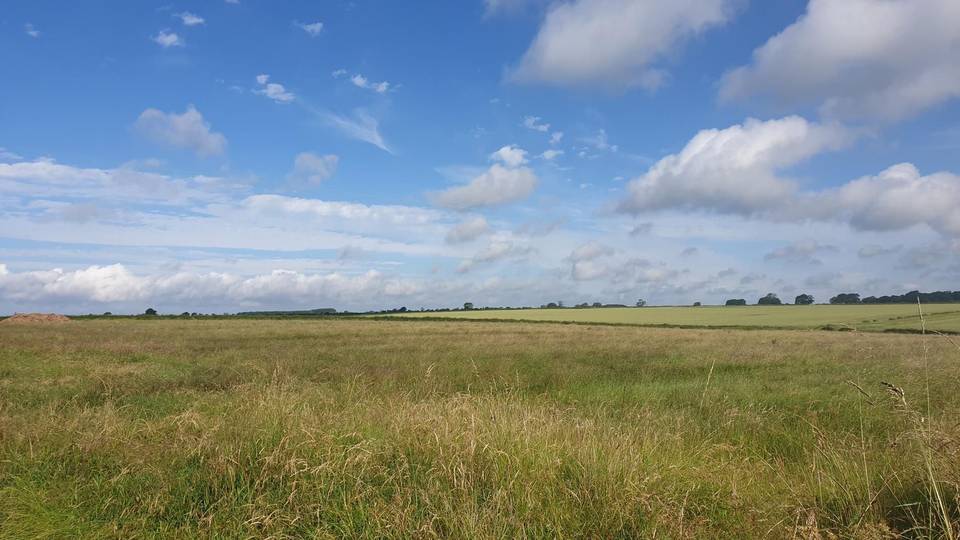
Starting at Melton Mowbray, the route quickly passes through Sysonby and Thorpe Arnold, encountering the first climb from 3.7 km lasting 1.7 km with a gain of 41 m at an average gradient of 2.5%. The route continues via Wycomb, Scalford, Eastwell, and Eaton before reaching Belvoir. The terrain remains mostly flat to rolling with minor roads dominating the 67.6 km loop, including 13.6 km without cafes or shops from 52.6 km onwards. Most of the roads are paved with just 2% gravel or unpaved, and 6.1 km on main roads lack cycle lanes. There are 15.3 km on roads posted at 80 km/h or more.
| Climb | Starts at | On this ride | Top on this ride |
|---|---|---|---|
| Unnamed climb | 3.7 km | 1.7 km · 41 m · 2.5 % · max 3.9 % | 124 m |
| Unnamed climb | 39.7 km | 2 km · 89 m · 4.4 % · max 7.8 % | 158 m |
Mostly minor roads and streets on the map; 6.1 km is on main roads without a cycle lane.
No stretch is longer than 15 km without a café, shop or water. Along the route: 74 cafés and restaurants, 10 shops, 1 water point, 3 petrol stations, 3 public toilets and 1 bike shop.