Road · United Kingdom
A rolling 47 km road cycling loop from Melton Mowbray, England through Stapleford, Coston and Sewstern, with 262 m of climbing.
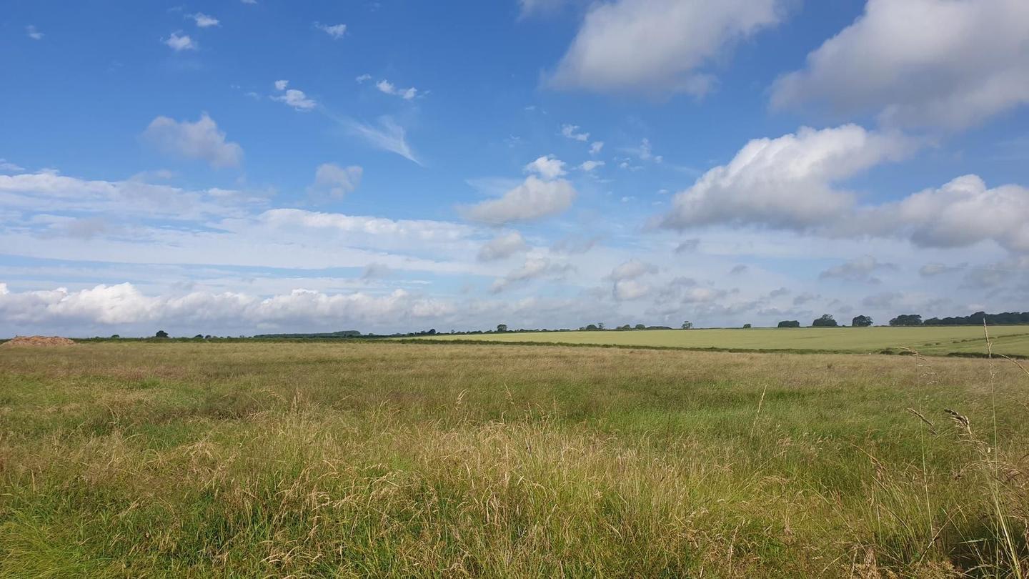
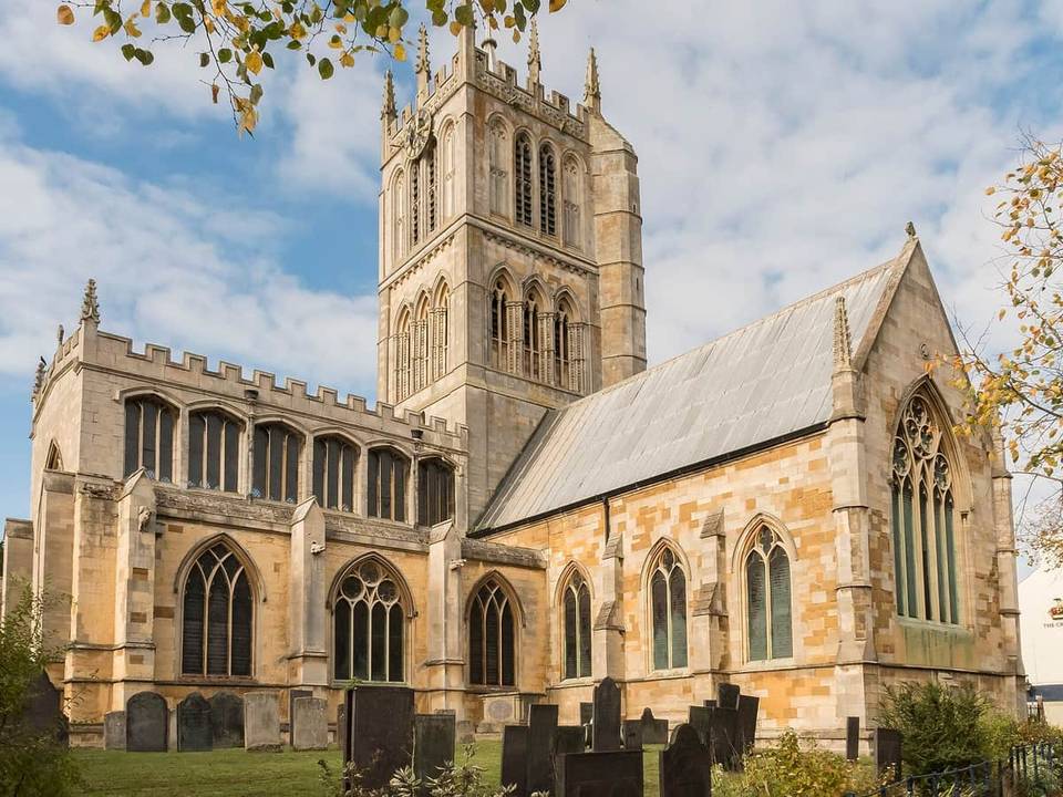
The Melton Mowbray – Greetham loop starts in Melton Mowbray passing through Stapleford at 4.6 km, then on to Coston at 13.4 km and Buckminster at 16.7 km, which is the highest point at 158 m. The route continues through Sewstern, Stainby, Gunby, and North Witham before reaching South Witham at 24.6 km. It then heads to Thistleton and Wymondham, with a tea room and bike shop at 34.6 km, followed by Edmondthorpe at 36.4 km and Burton Lazars near the end at 46.1 km. The entire loop totals 47.4 km with 311 m of elevation gain, mostly on minor roads (84%) with some main roads (7%).
The route is mostly paved (95%) with small sections on gravel and track. Around 22 km are on roads with posted speed limits of 80 km/h or more. There is a longest stretch of 12.4 km without café, shop, or water between 34.6 km and 47 km. Several pubs and shops lie along the way, including The Berkeley Arms at 10.1 km, The Blue Dog at 18.2 km, Angel Inn at 24.7 km, Buckminster General Store at 16.4 km, and South Witham Village Shop at 24.8 km. There is drinking water available at 24 km. The profile is mostly flat to gently undulating (74% flat) with brief steep sections.
Mostly minor roads and streets on the map; 3.2 km is on main roads without a cycle lane.
No stretch is longer than 15 km without a café, shop or water. Along the route: 7 cafés and restaurants, 2 shops, 1 water point and 1 bike shop.