Cyclists.com

National Cycle Route 423

Monmouth, Monmouthshire, United KingdomRoad

Signed route The waymarked National Cycle Route 423 (National Cycle Network), traced from OpenStreetMap and measured against the terrain model; no member has recorded it yet. Ridden it? Add your recording and photos.

32 km
Distance
395 m
Elevation gain
Easy
Difficulty
Paved
Surface
Download GPXMap

Elevation profile

Total ascent
395 m
Distance
32 km
050100150m0 km102032 km141 m · highest, at 25.2 kmStartFinish

Route overview

Suitable for riders who can handle 395 m climbing over 32 km.

National Cycle Route 423 is a 32 km point-to-point ride through Monmouthshire from Monmouth with 395 m climbing.

Starting in Monmouth, the route passes Overmonnow and Wonastow before reaching Dingestow at 6 km. There is a climb from 1.2 to 2.4 km gaining 57 m at an average gradient of 4.8%, peaking at 81 m. The ride continues through Coed-y-fedw and Cuckoo's Row to Raglan at 12 km and then on to Usk at 20 km. After Usk, there is a longer climb starting at 21.7 km that lasts 3.4 km with 112 m gain at 3.3% average, maxing at 7.4%. Following this, the route passes Coed-y-paen and undergoes a final smaller climb from 27.9 to 30 km gaining 52 m at 2.6% average. The highest point along the route is 140 m at 25.1 km. The lowest is 16 m near 20.8 km. The surface is paved for 99% of the route. It mainly uses minor roads (90%) with some quiet streets, a short section on main roads (3%) and a path (2%). Some fast roads (1.6 km) and main roads without cycle lanes (1.1 km) are included. Named roads include Monmouth Road for 7.9 km. There are pubs, cafés and shops at Monmouth, Raglan, Usk and near the finish with the longest stretch without food or water being 5.3 km early on. A bailout point lies near Cwmbran at 30.7 km.

Highlights

  • Climb with 7.3% max gradient near 1.2 km
  • Raglan with the Ship Inn at 12 km
  • Longer climb past 21.7 km
  • Finishing near Ashbridge Inn at 31.4 km

Along the route

Measured from the recorded track and OpenStreetMap.

Places passed

  1. Wonastow 2.7 km
  2. Dingestow 5.9 km
  3. Coed-y-fedw 8.4 km
  4. Cuckoo's Row 10.4 km
  5. Raglan 11.9 km
  6. Usk 20.3 km
  7. Coed-y-paen 26.5 km

Climbs

ClimbStarts atLengthGainAverageMaxTop
1.2 km1.2 km57 m4.8 %7.3 %81 m
21.7 km3.4 km112 m3.3 %7.4 %140 m
27.9 km2.1 km52 m2.6 %4.4 %116 m

High point 140 m at 25.1 km; low point 16 m.

What this ride is like

Measured from OpenStreetMap along the track and the elevation profile.

Roads
90% minor road · 4% quiet street · 3% main road · 2% path
Main roads
1.1 km on main roads without a cycle lane — likely busier
Fast roads
1.6 km on roads with a limit of 80 km/h or more
Main roads used
Monmouth Road (8 km)
Surface
Paved throughout
Gradient
33% climbing · 24% descending · 42% flat
Steep sections
1.7 km over 5% · steepest 500 m averages 7.3% at 24.2 km

Along the way

Within a few hundred metres of the track, from OpenStreetMap. Opening hours change — treat this as where to look, not a promise.

Food, water and shops

  1. 0 kmGreen Dragon · pub · on the route
  2. 0 kmWaitrose · supermarket · 190 m off route
  3. 0 kmMonnow Street Toilets · toilets · 130 m off route
  4. 0 kmWell Pharmacy · pharmacy · 200 m off route
  5. 0.7 kmWild Times Extreme Sports · bike shop · 160 m off route
  6. 5.7 kmDingestow Post Office · convenience store · 70 m off route
  7. 8.7 kmToilets · 100 m off route
  8. 11.7 kmDrinking water · 40 m off route
  9. 11.8 kmThe Ship Inn · pub · on the route
  10. 11.8 kmNisa Local · convenience store · on the route
  11. 11.8 kmRaglan Pharmacy · pharmacy · on the route
  12. 11.9 kmRaglan Fuel Station · petrol station · on the route
  13. 20.4 kmToilets · 60 m off route
  14. 20.5 kmSprockwobbles · café · on the route
  15. 20.5 kmCo-op Food · supermarket · on the route
  16. 20.5 kmUsk Pharmacy · pharmacy · on the route
  17. 20.7 kmWoodside Service Station · petrol station · on the route
  18. 26.5 kmCarpenters Arms · pub · on the route

Need to bail out?

  • 30.7 kmCwmbran (station), 1.2 km off route

Whether bikes are carried depends on the service — check before relying on it.

Worth a stop

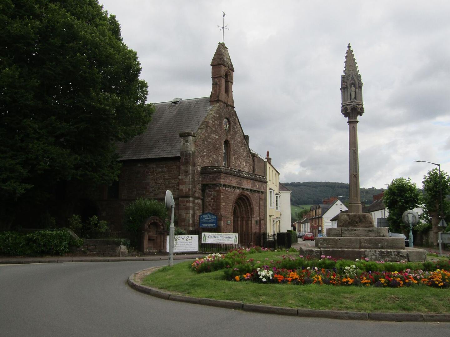
  • 0 kmThe Cross (monument)
  • 5.8 kmDingestow Castle (archaeological site)

At the start

  • Green Dragon · pub · 10 m
  • The Hatch · café · 130 m
  • Riverside Hotel · pub · 110 m
  • Marches Coffee Shop · café · 210 m
  • Monnow Bridge Fish and Chips · fast food · 110 m

At the finish

  • Ashbridge Inn · pub · 470 m

Stay after this ride

  • Premier Inn · hotel · 430 m from the finish
  • Best Western · hotel · 2.7 km from the finish
  • Somerton House Hotel · guest house · 3.9 km from the finish
  • Parkway Hotel · hotel · 4.0 km from the finish

Practical information

Surface
Paved
Route shape
Point to point
Riding time
2 h 17 min
Best months
Jun to Sep — daily highs of 18–21 °C in those months

Know before you go

  • Longest stretch without café, shop or water: 5.3 km from 0.4 km
  • 1.1 km on main roads without cycle lane
  • 1.6 km on roads with 80 km/h+ speed limit

Routes are for inspiration. Roads, surfaces and conditions change — check locally and ride within your limits.

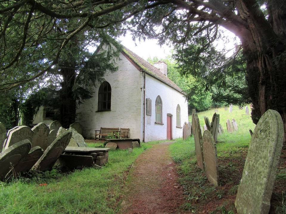
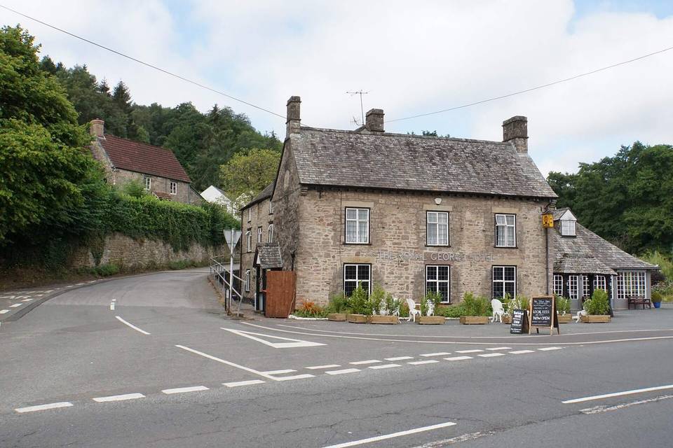
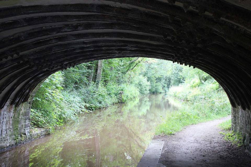
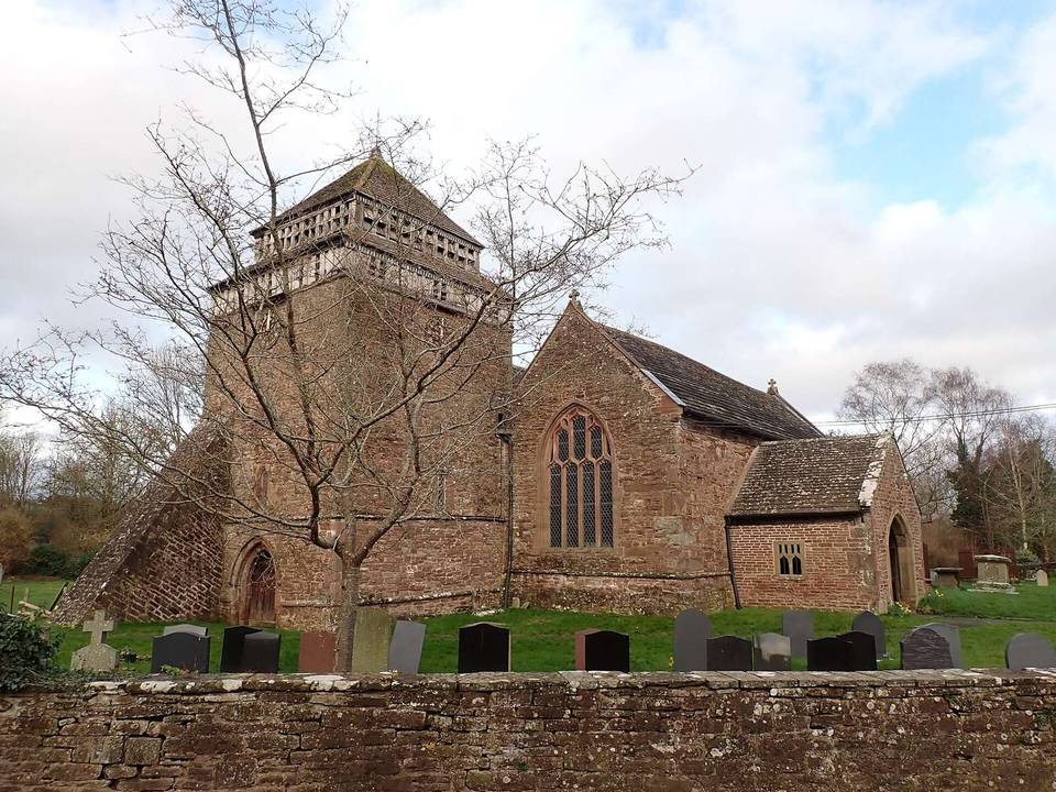
2 photographs from the road

Photo: Colin Smith · CC BY-SA 2.0 · Wikimedia Commons · Photo: Nigel Thompson · CC BY-SA 2.0 · Wikimedia Commons · Photo: Jonathan Billinger · CC BY-SA 2.0 · Wikimedia Commons