Kalemouth and Nisbet
- 32 km
- 299 m
- Easy
- Paved
Elevation profile
- 299 m
- 32 km
Route overview
Suitable for riders looking for a moderate 32 km ride with a significant climb of 109 m.
31.8 km loop in the Scottish Borders from Nisbet with 299 m climbing and a 109 m climb past Crailinghall.
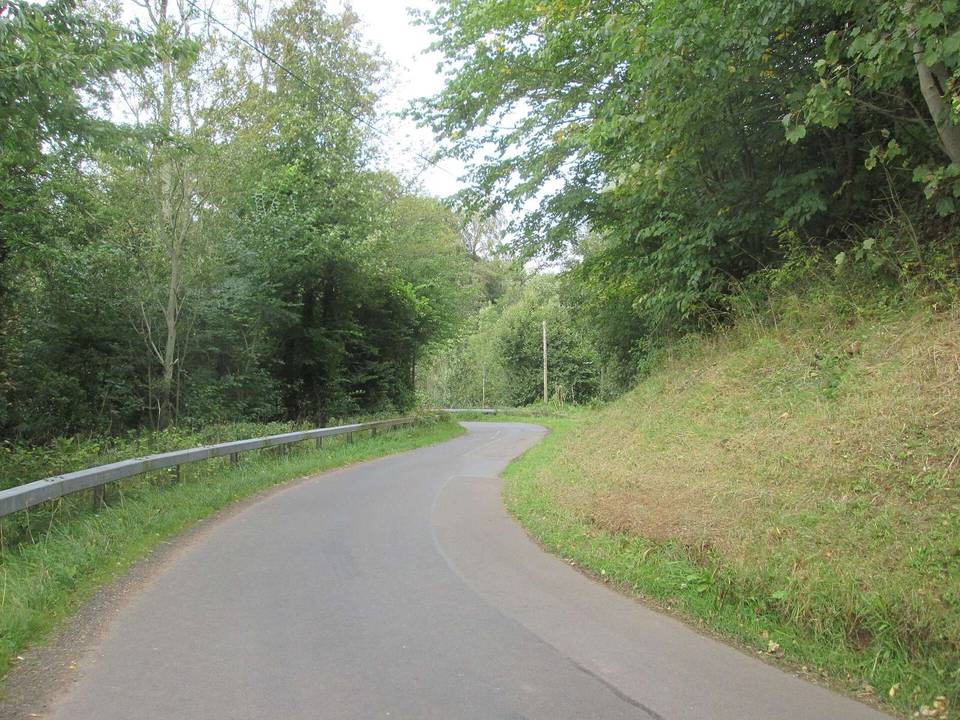
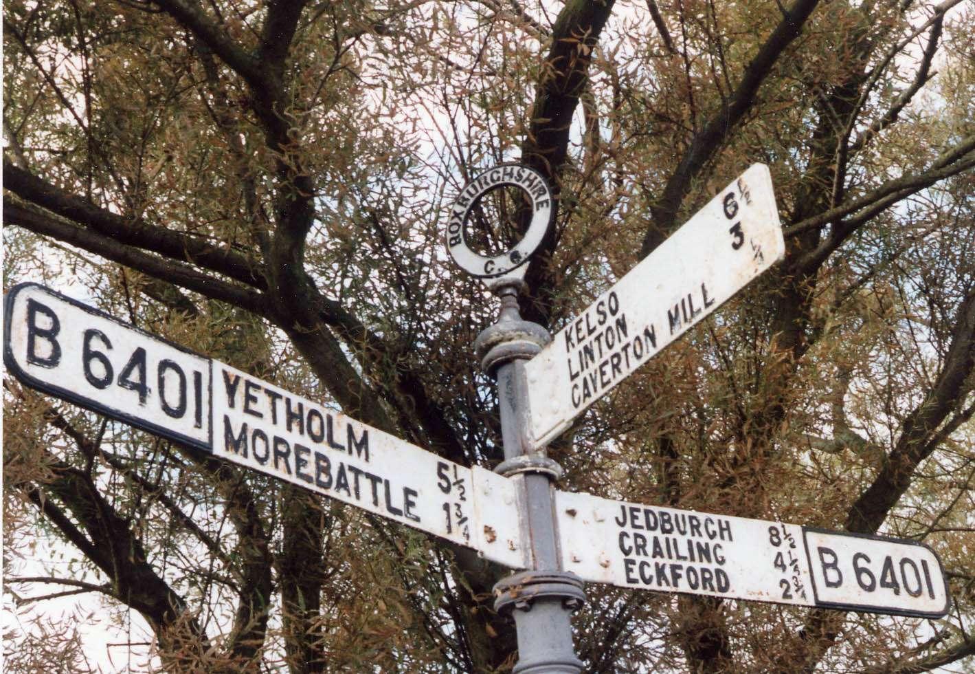
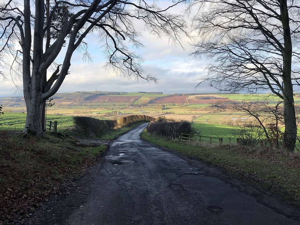
This 31.8 km loop starts near East Nisbet and passes through Old Ormiston, Kirkbank, Eckford Mill, Marlefield, and Otterburn on mainly minor roads. The route follows 67% minor roads, 27% main roads, and a small section on quiet streets. The B6401 road is ridden for 5.6 km. There's a 109 m climb starting at 19.7 km past Crailinghall reaching 204 m elevation around 21.9 km, averaging 5% gradient with a max of 6.6%. The main climbing is in the second half, with 54% of gain in the first half. After the climb the route descends for nearly 3 km before returning to Nisbet.
Highlights
- Stone monument near start
- Ormiston Castle site near Old Ormiston
- Climb past Crailinghall to 204 m height
- Ruins of Nisbet Church at finish
Along the route
Places passed
Climbs
| Climb | Starts at | Length | Gain | Average | Max | Top |
|---|---|---|---|---|---|---|
| — | 19.7 km | 2.2 km | 109 m | 5 % | 6.6 % | 204 m |
What this ride is like
- Roads
- 67% minor road · 27% main road · 3% quiet street
- Main roads
- 8.8 km on main roads without a cycle lane — likely busier
- Fast roads
- 14.6 km on roads with a limit of 80 km/h or more
- Main roads used
- B6401 (6 km)
- Surface
- Paved throughout
- Gradient
- 25% climbing · 23% descending · 52% flat
- Steep sections
- 1.6 km over 5% · steepest 500 m averages 6.5% at 20.9 km
- Longest descent
- 2.9 km from 22.1 km, dropping 124 m
Along the way
Longest stretch without a café, shop or water: 24 km, from 0 km to 24 km.
Food, water and shops
- 24.4 kmRepair stand · 420 m off route
- 24.7 kmCo-op Food · supermarket · 270 m off route
- 24.7 kmJedburgh Pharmacy · pharmacy · 320 m off route
- 25.5 kmBorder Meringues · café · 150 m off route
- 25.5 kmEsso · petrol station · 190 m off route
- 26 kmDrinking water · 150 m off route
- 26 kmToilets · 150 m off route
Worth a stop
- 0.2 km — Stone (monument)
- 4.4 km — Ormiston Castle (site of) (archaeological site)
- 13.8 km — Old Smithy (ruins)
- 24.7 km — Loupin’- on stane (monument)
- 31.7 km — Nisbet Church (ruins)
Practical information
- Paved
- Loop
- 2 h 16 min
- Jun to Sep — daily highs of 16–19 °C in those months
Know before you go
- 24.4 km without a café, shop, or water from start
- 8.8 km on main roads without cycle lanes
- 14.6 km on roads with speed limits of 80 km/h or higher
- 2% unpaved surface