Cyclists.com

Go East Lothian Trail

North Berwick, East Lothian, United KingdomGravel

Signed route The waymarked Go East Lothian Trail (regional route), traced from OpenStreetMap and measured against the terrain model; no member has recorded it yet. Ridden it? Add your recording and photos.

42 km
Distance
206 m
Elevation gain
Easy
Difficulty
Mixed
Surface
Download GPXMap

Elevation profile

Total ascent
206 m
Distance
42 km
020406080m0 km10203042 km76 m · highest, at 13.6 kmStartFinish · back at the start

Route overview

Suitable for riders comfortable with mixed surfaces over a medium distance with a moderate 206 m climbing.

41.7 km loop starting from North Berwick in East Lothian with 206 m of climbing.

The Go East Lothian Trail is a 41.7 km loop from North Berwick that passes through Dirleton, Kingston, Highfield, Stonelaws, Newbyth, Lawhead, East Linton, Tyninghame, Scoughall, Seacliff, Auldhame, Halflandbarns, Castleton, and Canty Bay. The route features a mix of surfaces with 60% paved and 40% gravel or unpaved sections. Roads include 27% path, 24% quiet street, 23% minor road, 15% main road, and 12% track, with 6.1 km on main roads without cycle lanes, including 3.2 km along the A198.

Highlights

  • Loop route from North Berwick
  • Climb up to 74 m over 1.8 km with max 3.5% gradient
  • Longest descent of 2.2 km dropping 38 m starting at 18.2 km
  • Cafés at 2.6 km (Seriously Dough) and 28.3 km (Tyninghame Smithy)

Along the route

Measured from the recorded track and OpenStreetMap.

Places passed

  1. North Berwick 2.5 km
  2. Dirleton 9.2 km
  3. Kingston 13.1 km
  4. Highfield 13.7 km
  5. Stonelaws 19.2 km
  6. Newbyth 21 km
  7. Lawhead 22.6 km
  8. East Linton 24.5 km
  9. Tyninghame 28.3 km
  10. Scoughall 34.6 km
  11. Seacliff 36 km
  12. Auldhame 38 km
  13. Halflandbarns 38.1 km
  14. Castleton 38.9 km
  15. Canty Bay 39.3 km

Climbs

ClimbStarts atLengthGainAverageMaxTop
11.4 km1.8 km43 m2.5 %3.5 %74 m

High point 76 m at 13.3 km; low point 4 m.

What this ride is like

Measured from OpenStreetMap along the track and the elevation profile.

Roads
27% path · 24% quiet street · 23% minor road · 15% main road
Main roads
6.1 km on main roads without a cycle lane — likely busier
Fast roads
5.3 km on roads with a limit of 80 km/h or more
Main roads used
A198 (3 km)
Surface
60% paved · 40% gravel or unpaved
Gradient
11% climbing · 14% descending · 75% flat
Longest descent
2.2 km from 18.2 km, dropping 38 m

Along the way

Within a few hundred metres of the track, from OpenStreetMap. Opening hours change — treat this as where to look, not a promise.

Food, water and shops

  1. 0 kmTesco · petrol station · 210 m off route
  2. 2.2 kmToilets · 90 m off route
  3. 2.3 kmTop Up Tap · drinking water · 80 m off route
  4. 2.5 kmBoots · pharmacy · 50 m off route
  5. 2.6 kmSeriously Dough · café · 80 m off route
  6. 2.6 kmCo-op Food · convenience store · 70 m off route
  7. 7 kmToilets · on the route
  8. 9.6 kmAmalfi Ice Cream & Coffee · café · on the route
  9. 23.4 kmSmeaton Tearoom · café · 110 m off route
  10. 24.5 kmLinton Pharmacy · pharmacy · 640 m off route
  11. 28.3 kmTyninghame Smithy · café · on the route
  12. 36.5 kmToilets · on the route
  13. 39.4 kmDrift · café · 90 m off route
  14. 41.1 kmToilets · 70 m off route

Need to bail out?

  • 3 kmNorth Berwick (station), 260 m off route
  • 24.5 kmEast Linton (station), 750 m off route

Whether bikes are carried depends on the service — check before relying on it.

Worth a stop

  • 1.5 kmCastle Hill (viewpoint)
  • 9.4 kmDirleton Castle (castle)
  • 13.1 kmFenton Tower (castle)
  • 29.7 kmSt Baldred's Church (ruins)
  • 37 kmAuldhame Castle (ruins)

At the start and finish

  • Tesco · supermarket · 360 m

Practical information

Surface
Mixed
Route shape
Loop
Riding time
3 h 29 min
Best months
Jun to Sep — daily highs of 16–18 °C in those months

Know before you go

  • Longest stretch without café, shop, or water is 13.8 km from 9.6 to 23.4 km
  • 6.1 km on main roads without cycle lane
  • 5.3 km on roads posted 80 km/h or above
  • 40% gravel or unpaved surface

Routes are for inspiration. Roads, surfaces and conditions change — check locally and ride within your limits.

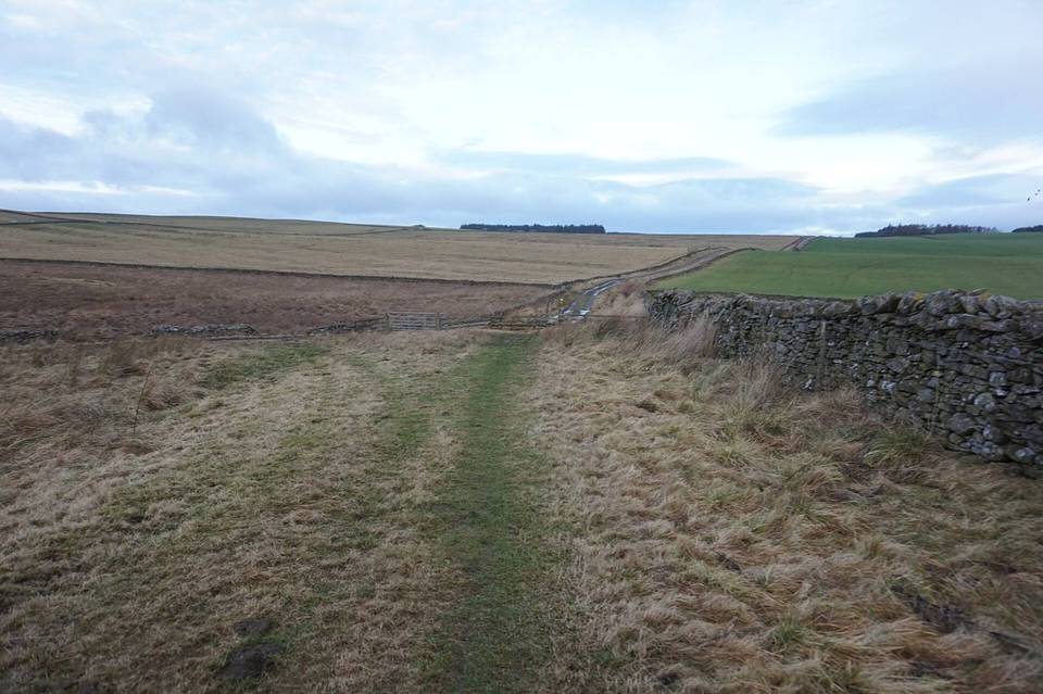
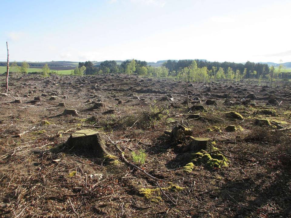
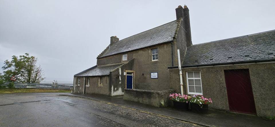
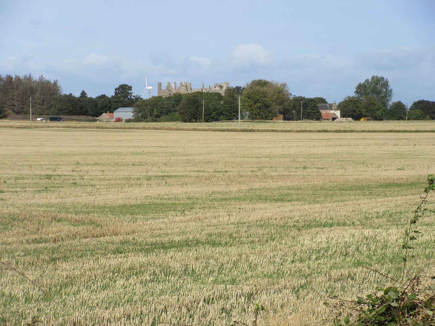
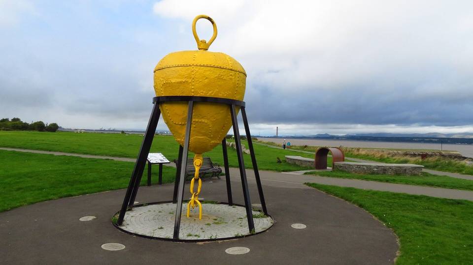
2 photographs from the road

Photo: Scott Cormie · CC BY-SA 2.0 · Wikimedia Commons · Photo: Richard West · CC BY-SA 2.0 · Wikimedia Commons · Photo: Richard Webb · CC BY-SA 2.0 · Wikimedia Commons