Cyclists.com

Dunbar to Bo'ness

Dunbar, East Lothian, United KingdomRoad

Signed route The waymarked John Muir Way (Green Action Trust JMW), traced from OpenStreetMap and measured against the terrain model; no member has recorded it yet. Stage 1 of 2 of the John Muir Way. Ridden it? Add your recording and photos.

100 km
Distance
389 m
Elevation gain
Hard
Difficulty
Paved
Surface
Download GPXMap

Elevation profile

Total ascent
389 m
Distance
100 km
0255075100125m0 km255075100 km114 m · highest, at 71.3 kmStartFinish

Route overview

Riders suited to a long 100 km ride with moderate climbing of 389 m.

Stage 1 of 2 of the John Muir Way: 100.3 km from Dunbar to Bo'ness with 389 m of climbing, on the signed route.

Starting in Dunbar, the route heads north-west passing through Belhaven and West Barns, then continues past Whitekirk beneath Whitekirk Hill (74 m) at 12.5 km. It proceeds through North Berwick near North Berwick Law (187 m) at 18.3 km, Dirleton, Gullane, and Aberlady before reaching Longniddry at 35.7 km. The route includes 26.7 km on cycle paths, 18.5 km on quiet streets, 15.3 km on paths, and 14.2 km on main roads, notably 9 km along the A198. There is 20% gravel or unpaved surface and 78% paved. Climbing features two main hills: a 2.2 km climb starting at 54.1 km with 42 m elevation gain, and a 1.3 km climb from 66.3 km gaining 63 m with a max gradient of 9% up to 112 m. The highest point, 113 m, is at 68.5 km. Along the way, a longest section without cafe, shop or water of 12.9 km is between 5 and 17.9 km. Refuelling options include cafes at Dunbar (0.1 km), North Berwick (18.9 km), Gullane (27 km), and Edinburgh (56.8 km). Several bailouts by rail station are possible at Dunbar, North Berwick, Longniddry, and others with the final destination at Bo'ness served by a station at 96.1 km.

Highlights

  • North Berwick Law at 18.3 km
  • Whitekirk Hill at 12.5 km
  • 2.2 km climb from 54.1 km
  • Longest cafe/shopping gap of 12.9 km

Along the route

Measured from the recorded track and OpenStreetMap.

Places passed

  1. West Barns 2.7 km
  2. Whitekirk 12.4 km
  3. Blackdykes 15.5 km
  4. Rhodes Holdings 16.9 km
  5. North Berwick 19.5 km
  6. Dirleton 23.6 km
  7. Gullane 27 km
  8. Aberlady 31.1 km
  9. Longniddry 35.7 km
  10. Port Seton 39.1 km
  11. Cockenzie and Port Seton 39.4 km
  12. Cockenzie 40 km
  13. Prestonpans 42 km
  14. Preston 42 km
  15. Cuthill 42.6 km
  16. Levenhall 44.7 km
  17. Musselburgh 47.5 km
  18. Fisherrow 48.6 km
  19. Joppa 50.3 km
  20. Newcraighall 50.9 km
  21. Brunstane 51.2 km
  22. Niddrie 52.6 km
  23. Bingham 52.7 km
  24. Craigmillar 53.7 km
  25. Prestonfield 55.1 km
  26. Dumbiedykes 55.9 km
  27. Newington 56.3 km
  28. The Grange 56.6 km
  29. Southside 56.8 km
  30. Sciennes 57 km
  31. Edinburgh 57.5 km
  32. Marchmont 57.8 km
  33. Bruntsfield 58.3 km
  34. Tollcross 58.8 km
  35. Fountainbridge 58.8 km
  36. Haymarket 59 km
  37. Dalry 59.4 km
  38. Merchiston 59.9 km
  39. Craiglockhart 61.7 km
  40. Longstone 62.7 km
  41. Saughton 62.8 km
  42. Stenhouse 63.6 km
  43. Slateford 63.8 km
  44. Gorgie 64.7 km
  45. Murrayfield 64.9 km
  46. Roseburn 64.9 km
  47. Balgreen 65.6 km
  48. Corstorphine 66.8 km
  49. Clermiston 68.8 km
  50. Davidson's Mains 69.8 km
  51. Silverknowes 70 km
  52. Barnton 70.7 km
  53. Cammo 72.1 km
  54. Cramond 73.2 km
  55. Long Green 75.2 km
  56. Home Farm Cottages 75.5 km
  57. Scotstoun 80.9 km
  58. South Queensferry 81.2 km
  59. Echline 82.3 km
  60. Society 84.3 km
  61. Abercorn 86.9 km
  62. Blackness 90.1 km
  63. Muirhouses 93.1 km
  64. Carriden 93.9 km
  65. Bo'ness 96.1 km

Climbs

ClimbStarts atLengthGainAverageMaxTop
54.1 km2.2 km42 m2 %4.5 %86 m
66.3 km1.3 km63 m4.8 %9 %112 m

High point 113 m at 68.5 km; low point 1 m. Passes beneath Whitekirk Hill, North Berwick Law.

What this ride is like

Measured from OpenStreetMap along the track and the elevation profile.

Roads
28% cycle path · 19% quiet street · 16% path · 15% main road
Main roads
14.3 km on main roads without a cycle lane — likely busier
Fast roads
8.7 km on roads with a limit of 80 km/h or more
Cycle paths
29.2 km on cycle paths or roads with a cycle lane
Main roads used
A198 (9 km), Union Canal Towpath (3 km)
Surface
78% paved · 20% gravel or unpaved
Gradient
6% climbing · 7% descending · 87% flat
Steep sections
0.7 km over 5% · 0.3 km over 8% · steepest 500 m averages 8.1% at 69.6 km
Longest descent
2.9 km from 71.3 km, dropping 70 m

Along the way

Within a few hundred metres of the track, from OpenStreetMap. Opening hours change — treat this as where to look, not a promise.

Food, water and shops

  1. 0 kmCo-op Food · convenience store · on the route
  2. 0.1 kmToilets · on the route
  3. 0.6 kmRigg Service Station · petrol station · 250 m off route
  4. 18.9 kmJ's Tennis Club Cafe · café · 30 m off route
  5. 19.5 kmBoots · pharmacy · 40 m off route
  6. 38.4 kmDrinking water · 130 m off route
  7. 42 kmBayne's · bakery · on the route
  8. 42.2 kmWell Pharmacy · pharmacy · 50 m off route
  9. 48.9 kmBP · petrol station · 60 m off route
  10. 51.3 kmCosta · café · 80 m off route
  11. 56.6 kmThe Goddess Clinic · clinic · 40 m off route
  12. 57.5 kmTop Up Tap · drinking water · 70 m off route
  13. 59 kmLaid Back Bikes · bike shop · 40 m off route
  14. 64.1 kmFour Square Park Cafe · café · 50 m off route
  15. 65.2 kmScotmid · supermarket · 80 m off route
  16. 72.4 kmMiller & Carter · restaurant · 40 m off route
  17. 80.7 kmToilets · on the route
  18. 81.3 kmQueensferry Pharmacy · pharmacy · 90 m off route

Need to bail out?

  • 0 kmDunbar (station), 560 m off route
  • 20.1 kmNorth Berwick (station), 180 m off route
  • 35.4 kmLongniddry (station), 910 m off route
  • 44.6 kmWallyford (station), 930 m off route
  • 51.2 kmBrunstane (station), 60 m off route
  • 61.9 kmSlateford (station), 260 m off route
  • 80.6 kmHawes Pier (ferry), 170 m off route
  • 96.1 kmBo'ness (station), 390 m off route

Whether bikes are carried depends on the service — check before relying on it.

Worth a stop

  • 0.1 kmThe Magazine (castle)
  • 19.8 kmWest Links Putting Green (attraction)
  • 23.4 kmDirleton Castle (castle)
  • 29.8 kmLuffness House (castle)
  • 67.2 kmCapybara (attraction)
  • 76.7 kmBarnbougle Castle (castle)

At the start

  • Parkers · café · 50 m
  • Sweet & Smoky · café · 100 m
  • Co-op Food · convenience store · 20 m
  • Dunbar Community Bakery · bakery · 150 m
  • The Food Hamper · fast food · 20 m

At the finish

  • Simply Treats · café · 200 m
  • McMoo's · café · 250 m
  • Pier Pizza · fast food · 150 m
  • Bo'ness Spinal Health Center · clinic · 190 m
  • The Anchor Tavern · pub · 200 m

Stay after this ride

  • Richmond Park Hotel · hotel · 830 m from the finish
  • Bo'mains Farmhouse · guest house · 2.5 km from the finish
  • Kirkland House · guest house · 2.6 km from the finish

Practical information

Surface
Paved
Route shape
Point to point
Riding time
7 h 10 min
Best months
Jun to Sep — daily highs of 16–18 °C in those months

Know before you go

  • 12.9 km stretch with no cafe, shop or water between 5 and 17.9 km
  • 14.3 km on main roads without a cycle lane
  • 8.7 km on roads with 80 km/h+ speed limits
  • 20% of route on gravel or unpaved surface

Routes are for inspiration. Roads, surfaces and conditions change — check locally and ride within your limits.

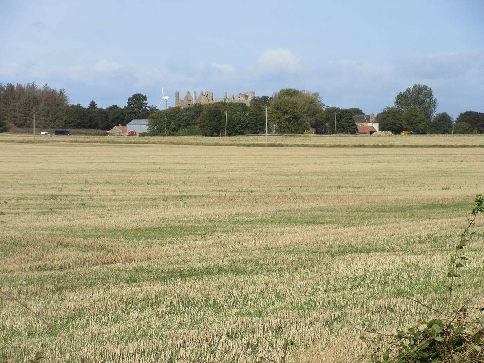
2 photographs from the road

Photo: Colin Park · CC BY-SA 2.0 · Wikimedia Commons · Photo: Bob Harvey · CC BY-SA 2.0 · Wikimedia Commons · Photo: S. Rae from Scotland, UK · CC BY 2.0 · Wikimedia Commons

Stage of