Cyclists.com

Eyemouth Blue Route

St Abbs, Scottish Borders, United KingdomRoad

Signed route The waymarked Eyemouth Blue Route (Scottish Borders Council), traced from OpenStreetMap and measured against the terrain model; no member has recorded it yet. Ridden it? Add your recording and photos.

12 km
Distance
100 m
Elevation gain
Easy
Difficulty
Paved
Surface
Download GPXMap

Elevation profile

Total ascent
100 m
Distance
12 km
0255075100125m0 km2.557.51012 km105 m · highest, at 7.5 kmStartFinish

Route overview

Suitable for riders looking for a short ride with moderate climbing over 12 km.

12.1 km ride from St Abbs to Eyemouth in Scottish Borders with 100 m ascent.

The Eyemouth Blue Route starts near St Abbs at 3.2 km and proceeds through Coldingham at 5.4 km and Alemill at 8.3 km. The road surface is 97% paved with 67% on minor roads and 24% on main roads, none featuring cycle lanes. The highest point on the ride is at 105 m around 7.5 km, with a maximum descent of 68 m over 2.3 km towards Eyemouth at 12.1 km, which sits at 4 m elevation. Between Coldingham and just after Highlaws Farm, there is a 5.6 km stretch lacking cafés, shops, or water. Pubs and convenience stores appear around Coldingham with the New Inn and Spar nearby, and at the finish in Eyemouth with the Contented Sole pub, Spar store, and an Esso petrol station around 11 km. Toilets are available near St Abbs and close to Eyemouth. The route features minor gradients, with 22% climbing and 39% descending, including some short steeper sections not exceeding 10% gradient.

Highlights

  • Passes Coldingham Law (86 m) near 5.9 km
  • Highest point 105 m at 7.5 km
  • Longest descent 2.3 km from 9.7 km
  • Pubs at 5.4 km and 12.1 km

Along the route

Measured from the recorded track and OpenStreetMap.

Places passed

  1. St Abbs 3.2 km
  2. Coldingham 5.4 km
  3. Alemill 8.3 km

What this ride is like

Measured from OpenStreetMap along the track and the elevation profile.

Roads
67% minor road · 24% main road
Main roads
2.9 km on main roads without a cycle lane — likely busier
Fast roads
6.5 km on roads with a limit of 80 km/h or more
Surface
Paved throughout
Gradient
22% climbing · 39% descending · 39% flat
Longest descent
2.3 km from 9.7 km, dropping 68 m

Along the way

Within a few hundred metres of the track, from OpenStreetMap. Opening hours change — treat this as where to look, not a promise.

Food, water and shops

  1. 3.5 kmToilets · on the route
  2. 5.3 kmSpar · convenience store · on the route
  3. 5.4 kmThe New Inn · pub · on the route
  4. 11 kmSpar · convenience store · 150 m off route
  5. 11.2 kmEsso · petrol station · 150 m off route
  6. 11.8 kmToilets · on the route
  7. 11.9 kmGeorge Romanes Pharmacy · pharmacy · 160 m off route
  8. 12.1 kmThe Contented Sole · pub · 100 m off route

Worth a stop

  • 5.4 kmMercat Cross (monument)

At the finish

  • The Contented Sole · pub · 100 m
  • Giacopazzi’s · restaurant · 90 m
  • Giacopazzi's · ice cream · 100 m
  • The Ship Restaurant & Bar · restaurant · 70 m
  • Lough's Home Bakery · bakery · 230 m

Stay after this ride

  • The Ship's Quarters Bed & Breakfast · guest house · 70 m from the finish
  • Glenerne Guest House · guest house · 330 m from the finish
  • Home Arms Guest House · guest house · 310 m from the finish
  • Eye Sleep Over · hotel · 870 m from the finish

Practical information

Surface
Paved
Route shape
Point to point
Riding time
52 min
Best months
Jun to Sep — daily highs of 16–18 °C in those months

Know before you go

  • 5.6 km without café, shop or water from 5.4 km to 11 km
  • 2.9 km on main roads without a cycle lane
  • 6.5 km on roads posted 80 km/h or more
  • Short sections with gradients over 10%

Routes are for inspiration. Roads, surfaces and conditions change — check locally and ride within your limits.

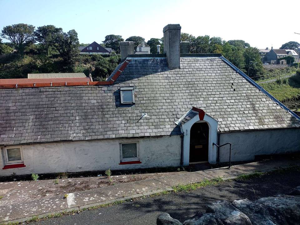
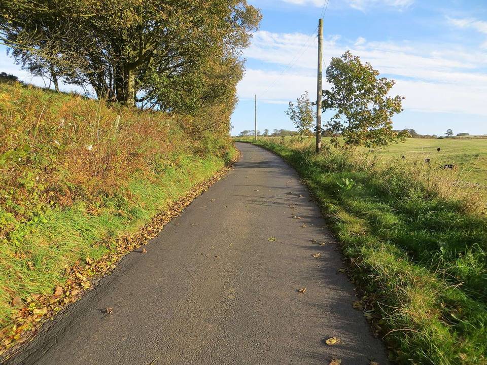
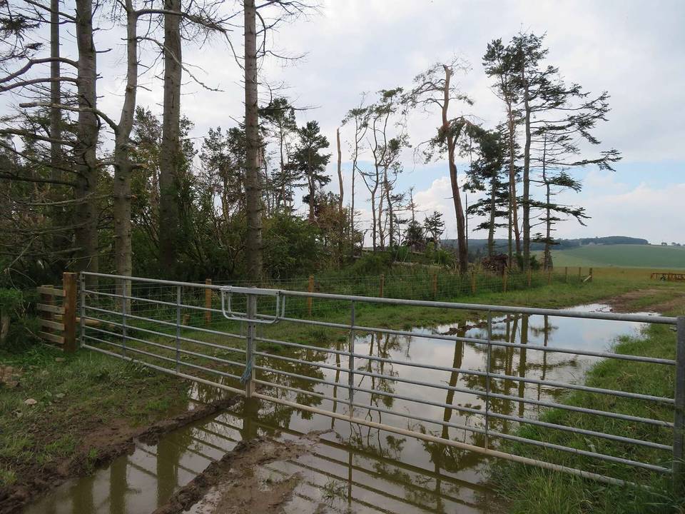
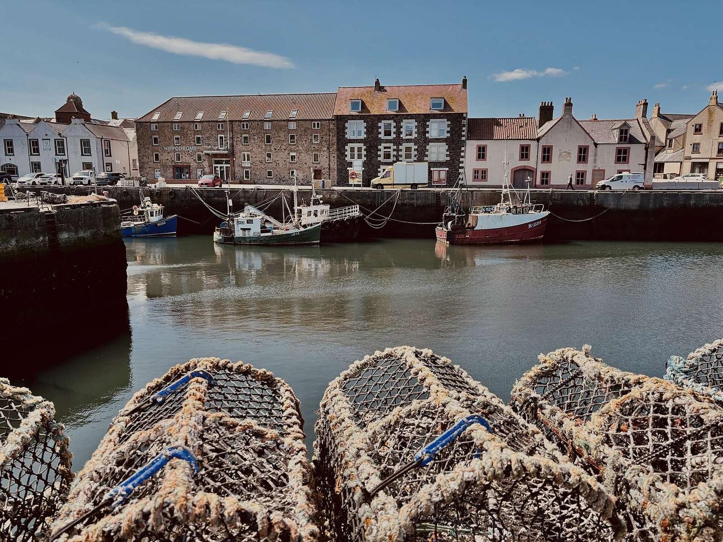
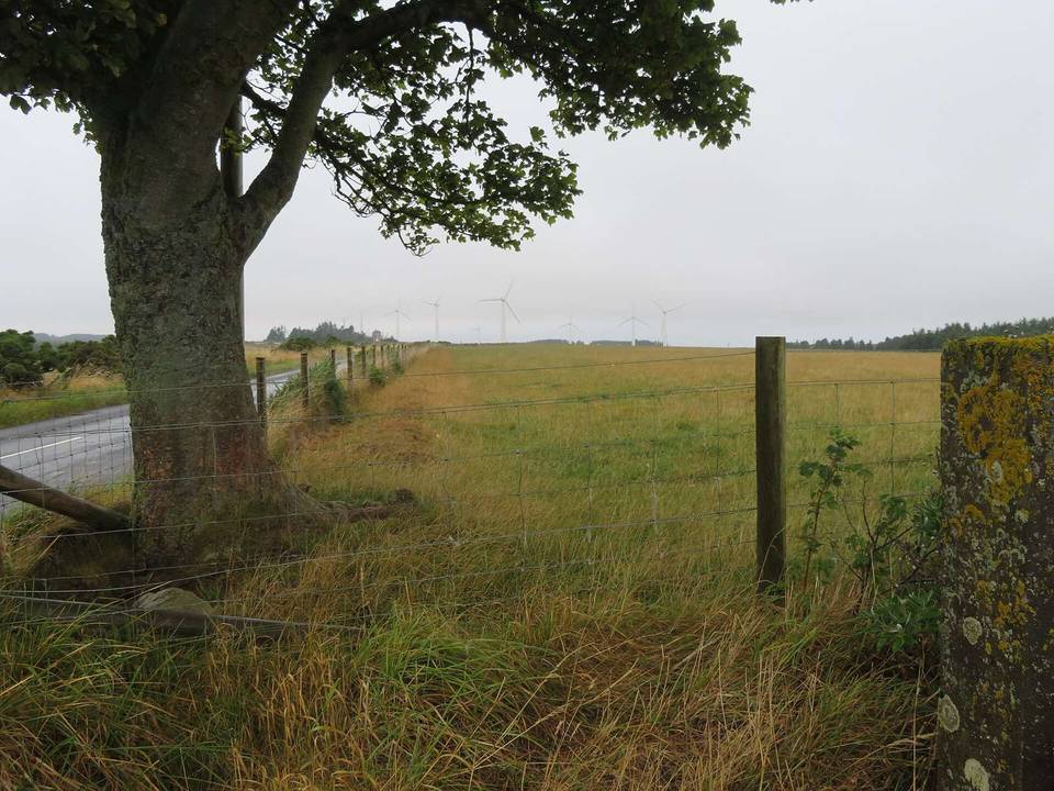
2 photographs from the road

Photo: Iain Lees · CC BY-SA 2.0 · Wikimedia Commons · Photo: Chris Morgan · CC BY-SA 2.0 · Wikimedia Commons · Photo: Ian S · CC BY-SA 2.0 · Wikimedia Commons