
Road · Spain
A hilly 49 km road cycling out-and-back route from Port de Pollença, Mallorca, with 720 m of climbing over Alcudia climb (202 m) and Alcudia climb (200 m).
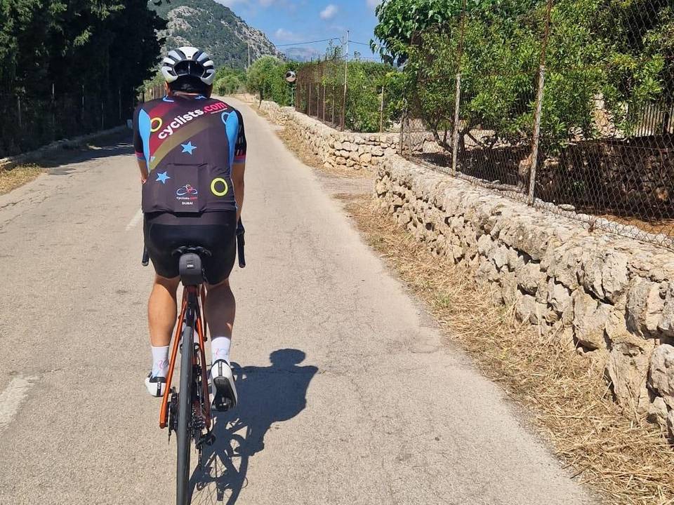
Starting at Port de Pollença, the route heads out along the Ma-2210, primarily on minor roads (33.3 km) with some cycle paths and lanes (6.3 km). The surface is mostly paved (92%) with short gravel and unmapped sections (4% each). From km 6.8 there is a 3.3 km climb gaining 193 m at an average gradient of 5.8% with sections up to 8%, followed by several smaller climbs scattered along the route. The highest point is 218 m at 26.2 km.
The ride has 29% climbing and 30% descending with a mix of gradients, including 6.4 km over 5%, 1.3 km over 8%, and a short 0.2 km above 10%. The longest descent is 3.5 km dropping 189 m starting from 38.4 km. The turnaround is near the Cap de Formentor lighthouse, where cafes and toilets are available at 23.4 km and again at the turnaround. Shops and bike services are found at start and finish. There is a 17.2 km stretch without cafe, shop, or water from 6.2 to 23.4 km, so prepare accordingly.
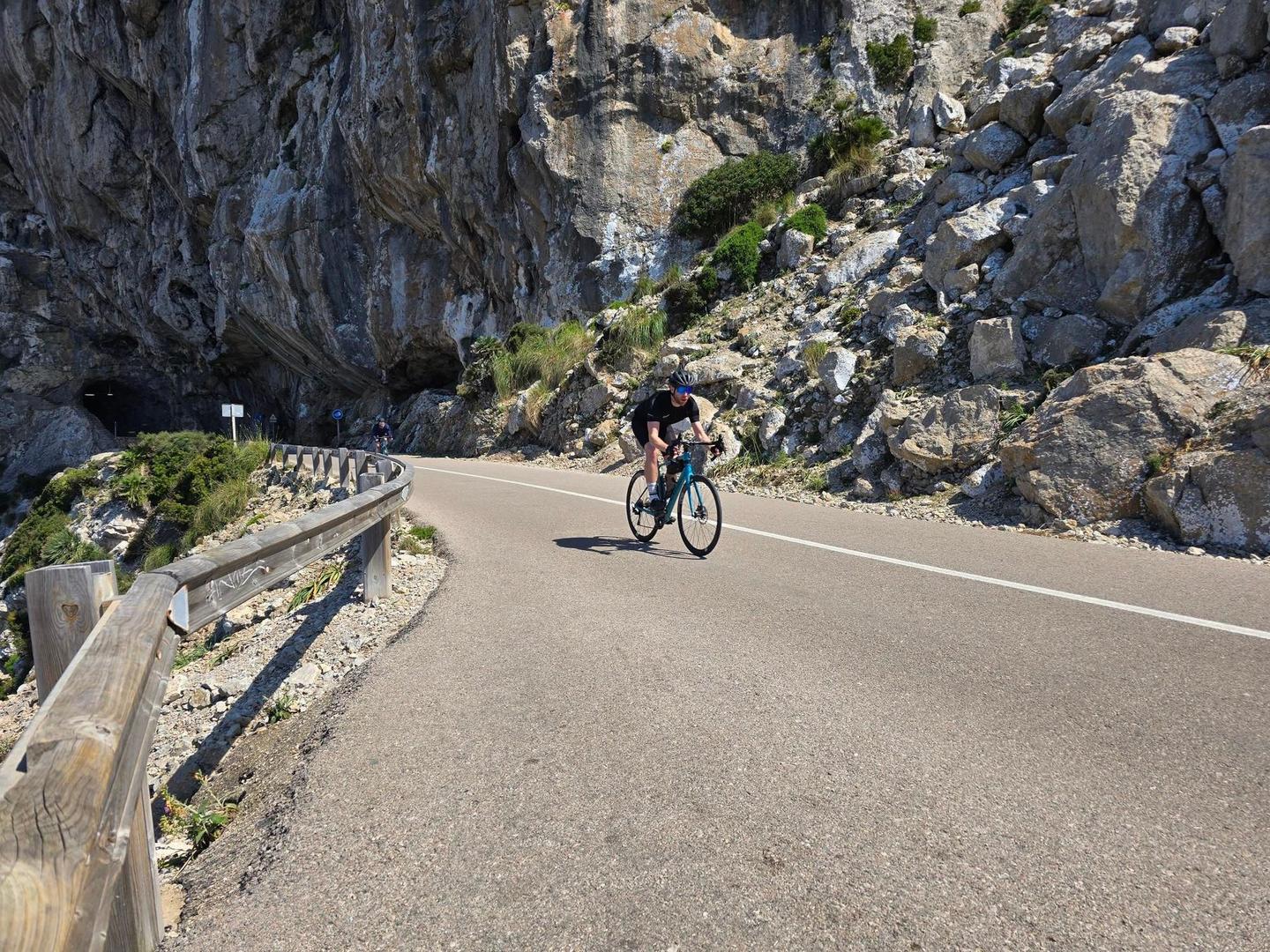
Along the way, notable viewpoints include Watchtower Albercutx at 10.7 km, Mirador del Racó d’en Tomàs at 19.1 km, and Cap de Formentor at 23.4 km. The route surface and road mix provide varied riding conditions, mostly on minor roads and paths, with a small section (1.2 km) on a main road without a cycle lane. The ride suits those prepared for climbs and some exposed sections, especially considering limited facilities mid-route.
| Climb | Starts at | On this ride | Full ascent | Top on this ride |
|---|---|---|---|---|
| Alcudia climb (202 m) | 6.8 km | 3.3 km · 193 m · 5.8 % · max 8 % | 3.4 km · 190 m · 5.6 % | 202 m |
| Unnamed climb | 13.3 km | 2 km · 52 m · 2.6 % · max 3.9 % | — | 67 m |
| Alcudia climb (218 m) | 17 km | 3.3 km · 132 m · 4 % · max 11.1 % | 3.3 km · 132 m · 4 % | 218 m |
| Unnamed climb | 23.1 km | 1.4 km · 63 m · 4.6 % · max 8.8 % | — | 192 m |
| Alcudia climb (200 m) | 33.4 km | 3.4 km · 188 m · 5.6 % · max 8.6 % | 3.4 km · 188 m · 5.6 % | 201 m |
Mostly minor roads and streets on the map; 1.2 km is on main roads without a cycle lane.
The longest stretch without a café, shop or water is 17 km, from km 6 to 23. Along the route: 133 cafés and restaurants, 18 shops, 6 public toilets and 13 bike shops.