
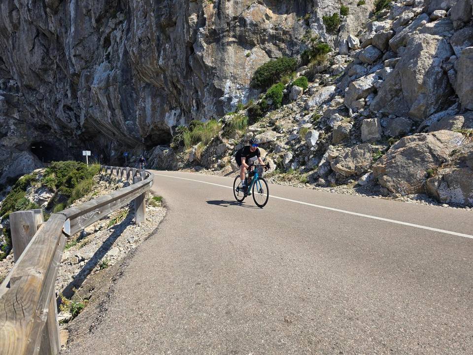
Road · Spain
A rolling 131 km road cycling loop from Port de Pollença, Mallorca through Campanet, es Coscolls and Son Macià-sa Nova Cabana, with 685 m of climbing.
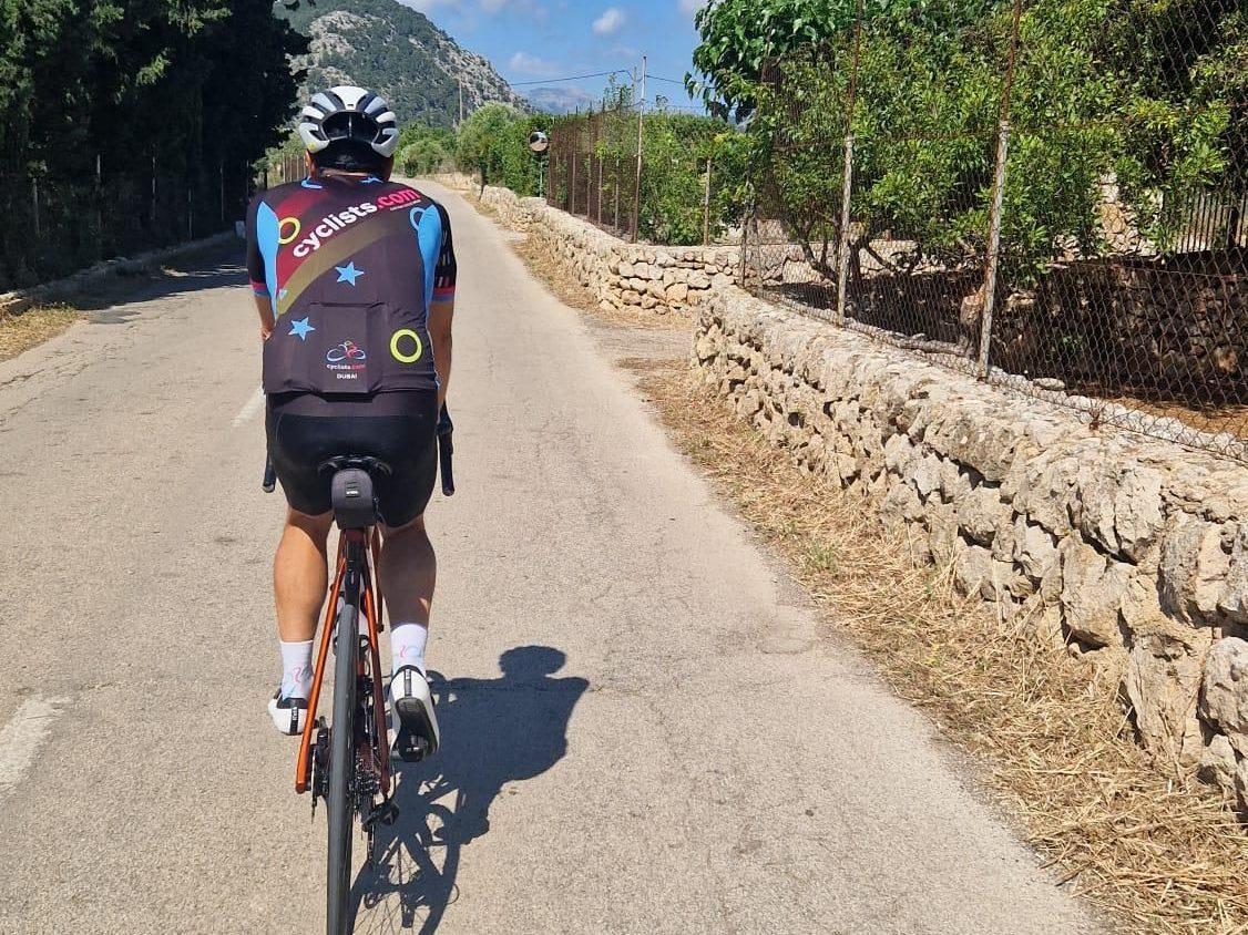
Starting at Port de Pollença, the route heads inland passing near peaks such as Puig d'Almadrava at 2.9km and Cuculla de Caselles at 12.3km. Early climbing includes a 1.8km section from 16.6km gaining 63m at 3.5% average gradient. The road surfaces are mainly paved (96%) with minor stretches of gravel/unpaved (3%) and unmapped sections (1%). Riders follow 55.1km on minor roads, 34.7km on main roads including 35.4km on main roads without a cycle lane, and 18km on cycle lanes or paths combined.
The route passes through multiple towns from Campanet at 19km to Palma at around 60km then heads back to Port de Pollença completing the loop. There are three main climbs: 1.8km at 3.5% early on, a 3.1km climb from 74.5km gaining 92m, and a 2.8km climb from 87.6km gaining 75m. The highest point is 183m at 91.3km. Service points include cafés at 21.3km, 26.3km, 48.9km, and many others, supermarkets at 28km and 49.6km, petrol stations and bike shops at several points including the start and finish in Port de Pollença. The longest stretch without café, shop, or water is 13.6km from 28.2km to 41.8km.
The route features flat terrain for 79% of the distance with relatively gentle climbs and descents. The steepest 500m section is 6.3% at 78.6km. Riding includes road classes such as quiet streets, cycle paths, minor and main roads, and a short major road segment. Key roads include Ma-3011, camí vell de Muro, Ma-13, and Ma-3512. Bailout points with stations are available at 27.7km, 48km, 57.6km, and 96.3km. Toilets can be found near Santa Maria del Camí and Palma.
| Climb | Starts at | On this ride | Top on this ride |
|---|---|---|---|
| Unnamed climb | 16.6 km | 1.8 km · 63 m · 3.5 % · max 5.3 % | 115 m |
| Unnamed climb | 74.5 km | 3.1 km · 92 m · 3 % · max 6.4 % | 123 m |
| Unnamed climb | 87.6 km | 2.8 km · 75 m · 2.7 % · max 4.7 % | 170 m |
Expect stretches on main roads without a cycle lane (35.4 km in all) between quieter sections.
No stretch is longer than 15 km without a café, shop or water. Along the route: 789 cafés and restaurants, 112 shops, 29 water points, 19 petrol stations, 14 public toilets and 58 bike shops.