Cyclists.com

Col de Toses from Ribes de Freser

Ribes de Freser, SpainRoad

Routed from the map This classic road was traced on OpenStreetMap and measured against the terrain model; no member has recorded it yet. Ridden it? Add your recording and photos.

23 km
Distance
974 m
Elevation gain
Moderate
Difficulty
Paved
Surface

Elevation profile

Total ascent
974 m
Distance
23 km
Elevation (m)05001,0001,5002,0000 km5 km10 km15 km20 km23 kmHighest point1,792 m at 22.9 kmStart0 kmFinish23 km

Route overview

Riders comfortable with nearly 1000 m climbing over 23 km.

Climb Col de Toses from Ribes de Freser, Spain, 22.9 km with 974 m ascent on fully paved roads.

Starting at Ribes de Freser (911 m), the route immediately begins climbing after 1.1 km. The first climb is 5.4 km long, gaining 192 m at an average gradient of 3.6%, reaching 1104 m altitude. This is followed by a shorter, steeper climb of 2.2 km gaining 134 m at 6% average, with a max gradient of 11.5%, topping out at 1184 m. The main ascent lasts 11.4 km, rising 646 m at an average of 5.7% and peaking at 1792 m, near the Col de Toses summit at 22.7 km. The entire 22.9 km route is on paved surfaces, mainly minor roads (62%) and some main roads (28%). Main roads ridden total 6.3 km without cycle lanes. Named roads include GIV-4016 (8.4 km), N-260 (5.5 km), and Carretera de Toses a la Collada de Toses (3.2 km). The profile is mostly climbing (79%), with short descents (maximum 1.3 km). Longest flat sections are around 10%.

Highlights

  • Col de Toses summit at 1792 m
  • Climb starts near Roca de la Creu (999 m)
  • Brief descent starting near 9.7 km
  • Climb past els Coforns (1259 m)

Along the route

Measured from the recorded track and OpenStreetMap.

Climbs

ClimbStarts atLengthGainAverageMaxTop
Ribes de Freser climb1.1 km5.4 km192 m3.6 %6 %1104 m
7.3 km2.2 km134 m6 %11.5 %1184 m
Ribes de Freser climb11.3 km11.4 km646 m5.7 %10.4 %1792 m

High point 1792 m at 22.7 km; low point 911 m. Passes beneath Roca de la Creu, els Coforns.

Ribes de Freser climb · starts at 1.1 km

5.4 km at 3.6% · 192 m
950100010501100ELEVATION (M)3.5%4.5%3.9%3.4%2.2%0 km123455.4 kmDISTANCE (KM)Ribes de Freser climb · 1,103 mSTEEPEST 4.5%
< 4%4 – 7%7 – 10%> 10%

Ribes de Freser climb · starts at 11.3 km

11.4 km at 5.7% · 646 m
120013001400150016001700ELEVATION (M)4.3%4.1%6.1%7.1%7.9%9.1%10%5.1%0%0 km1234567891011.4 kmDISTANCE (KM)Ribes de Freser climb · 1,792 mSTEEPEST 10.1%
< 4%4 – 7%7 – 10%> 10%

What this ride is like

Measured from OpenStreetMap along the track and the elevation profile.

Roads
62% minor road · 28% main road · 7% quiet street · 3% track
Main roads
6.3 km on main roads without a cycle lane — likely busier
Main roads used
GIV-4016 (8 km), N-260 (6 km), Carretera de Toses a la Collada de Toses (3 km)
Surface
Paved throughout
Gradient
79% climbing · 10% descending · 10% flat
Steep sections
8 km over 5% · 3.6 km over 8% · 1.4 km over 10%

Along the way

Within a few hundred metres of the track, from OpenStreetMap. Opening hours change — treat this as where to look, not a promise.

Food, water and shops

  1. 0 kmFarmàcia Maria Ramis · pharmacy · on the route
  2. 0.8 kmFont del Passeig · drinking water · on the route
  3. 1.1 kmCondis · supermarket · 190 m off route
  4. 1.4 kmPetit bar · café · on the route
  5. 7.6 kmCan Cosp · convenience store · 330 m off route
  6. 8.1 kmLa Cantina · restaurant · 60 m off route
  7. 9.4 kmFont dels Burros · drinking water · on the route
  8. 14.5 kmSpring · 80 m off route
  9. 17.7 kmEstació Toses · pub · on the route
  10. 17.9 kmFont de les Planes · spring · 60 m off route

Need to bail out?

  • 0.4 kmRibes-Vila (station), 90 m off route
  • 8.2 kmPlanoles (station), 50 m off route
  • 17.7 kmToses (halt), on the route

Whether bikes are carried depends on the service — check before relying on it.

Worth a stop

  • 1.1 kmMonument als Pastors (monument)
  • 14.1 kmCal Ferreró (ruins)

At the start

  • Petit bar · café · 100 m
  • Forn Robiró · bakery · 70 m
  • Cafè de la Plaça · café · 80 m
  • Font del Passeig · drinking water · 80 m
  • ve de Gust - menjars per emportar · restaurant · 100 m

Stay after this ride

  • Hotel Collada · hotel · 40 m from the finish

Practical information

Surface
Paved
Route shape
Point to point
Riding time
1 h 38 min

Know before you go

  • 6.3 km on main roads without cycle lane
  • 5.2 km without café, shop or water from 1.8 to 7 km

Routes are for inspiration. Roads, surfaces and conditions change — check locally and ride within your limits.

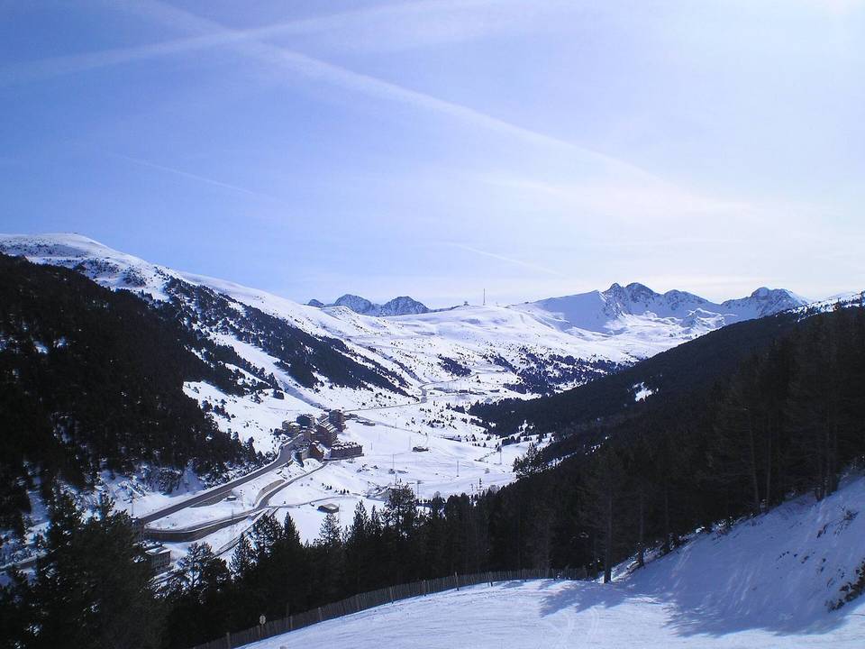
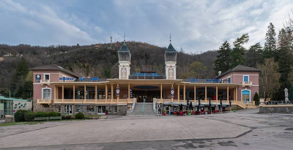
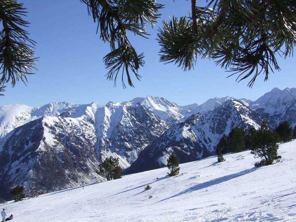
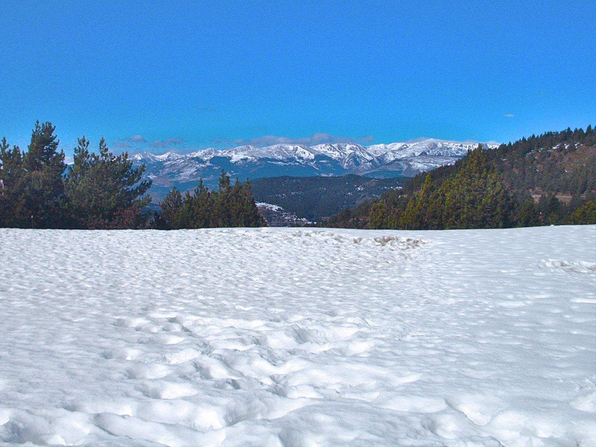
2 photographs from the road

Photo: jordi domènech · CC BY-SA 3.0 · Wikimedia Commons · Photo: Pere López Brosa · CC BY-SA 4.0 · Wikimedia Commons · Photo: Àlex · CC BY-SA 3.0 · Wikimedia Commons