Cyclists.com

Selkirk Green Route

Selkirk, Scottish Borders, United KingdomRoad

Signed route The waymarked Selkirk Green Route (Scottish Borders Council), traced from OpenStreetMap and measured against the terrain model; no member has recorded it yet. Ridden it? Add your recording and photos.

11 km
Distance
68 m
Elevation gain
Easy
Difficulty
Paved
Surface
Download GPXMap

Elevation profile

Total ascent
68 m
Distance
11 km
050100150200m0 km2.557.51011 km160 m · highest, at 4.1 kmStartFinish · back at the start

Route overview

Suitable for cyclists looking for a short, low-climbing loop of 11 km.

11.4 km loop cycling route from Selkirk in the Scottish Borders with 68 m climbing.

Starting near Selkirk, this 11.4 km loop climbs gently to its highest point of 159 m at 4.1 km before descending back towards the start at 119 m elevation. The profile rises mostly in the first half, gaining 77% of the elevation early on. The route is fully paved and almost entirely on main roads, including the B7009 for 4.9 km and the A708 for 3.3 km. Cyclists ride 11.3 km on main roads without dedicated cycle lanes and over 10 km along roads with speed limits of 80 km/h or more. The route features mostly flat terrain (66%) with some descents (20%) and climbing (14%), including about 0.3 km over 5% gradient, and brief steeper sections up to 12.2% in places. The longest descent lasts 1.1 km, dropping 48 m towards the end. Facilities are sparse on the route with a stretch of 9.6 km between 0.2 and 9.8 km without cafés, shops, or drinking water. At the start and finish in Selkirk, there are bike shops like Scott's Cycle Services, food options such as Fillin Station fast food, and pharmacies. The Waterwheel Cafe lies just off the route at 9.8 km. Howden Hill lies near the route at 1.8 km and Harehead Hill near 7.7 km.

Highlights

  • Loop route from Selkirk
  • Highest point 159 m at 4.1 km
  • Howden Hill near 1.8 km
  • Longest descent 1.1 km dropping 48 m

What this ride is like

Measured from OpenStreetMap along the track and the elevation profile.

Roads
99% main road
Main roads
11.3 km on main roads without a cycle lane — likely busier
Fast roads
10.2 km on roads with a limit of 80 km/h or more
Main roads used
B7009 (5 km), A708 (3 km)
Surface
Paved throughout
Gradient
14% climbing · 20% descending · 66% flat

Along the way

Within a few hundred metres of the track, from OpenStreetMap. Opening hours change — treat this as where to look, not a promise.

Food, water and shops

  1. 0.2 kmFillin Station · fast food · 260 m off route
  2. 0.2 kmDrinking water · 200 m off route
  3. 0.2 kmScott's Cycle Services · bike shop · 290 m off route
  4. 0.3 kmLindsay & Gilmour · pharmacy · 480 m off route
  5. 9.8 kmThe Waterwheel Cafe · café · on the route

Worth a stop

  • 1.8 kmHowden Hill (peak)

At the start and finish

  • Scott's Cycle Services · bike shop · 510 m
  • Fillin Station · fast food · 480 m

Practical information

Surface
Paved
Route shape
Loop
Riding time
49 min
Best months
Jun to Aug — daily highs of 17–18 °C in those months

Know before you go

  • 9.6 km without café, shop, or water from 0.2 to 9.8 km
  • 11.3 km on main roads without cycle lane
  • 10.2 km on roads with 80 km/h+ speed limits
  • Short steep sections up to 12.2% gradient

Routes are for inspiration. Roads, surfaces and conditions change — check locally and ride within your limits.

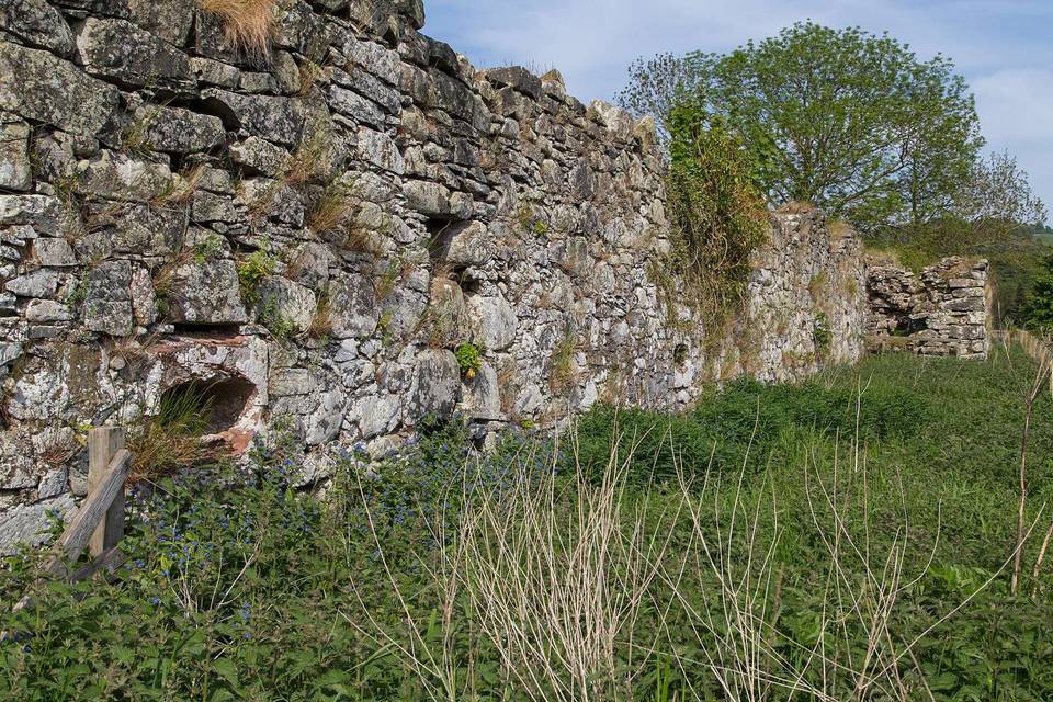
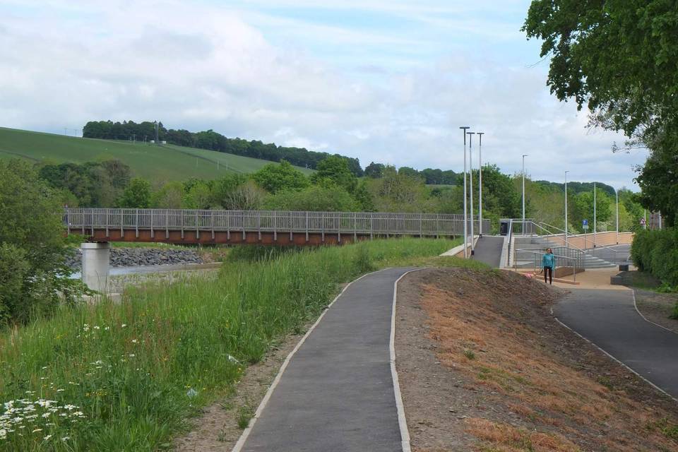
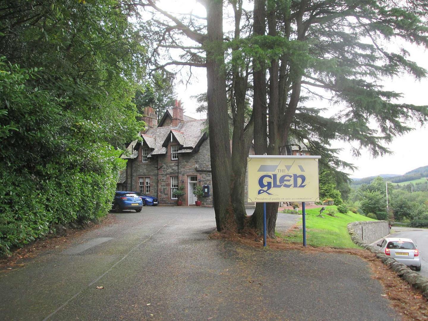
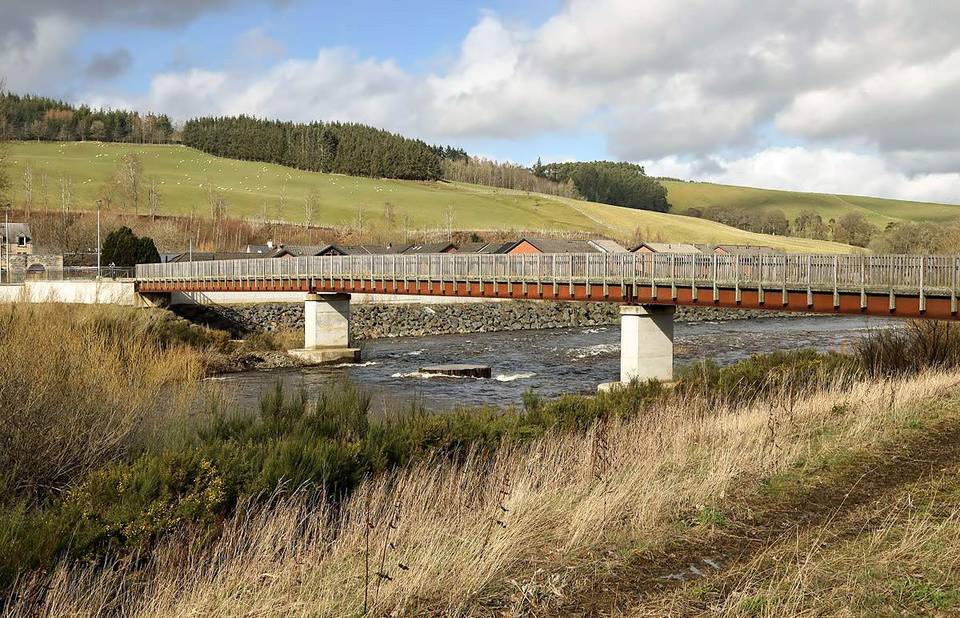
2 photographs from the road

Photo: Martin Dawes · CC BY-SA 2.0 · Wikimedia Commons · Photo: WeeHolly · CC BY-SA 4.0 · Wikimedia Commons · Photo: Rab McMurdo · CC BY-SA 2.0 · Wikimedia Commons

More rides from Selkirk