Cyclists.com

Selkirk Orange Route

Selkirk, Scottish Borders, United KingdomRoad

Signed route The waymarked Selkirk Orange Route (Scottish Borders Council), traced from OpenStreetMap and measured against the terrain model; no member has recorded it yet. Ridden it? Add your recording and photos.

15 km
Distance
98 m
Elevation gain
Easy
Difficulty
Paved
Surface
Download GPXMap

Elevation profile

Total ascent
98 m
Distance
15 km
050100150200m0 km51015 km162 m · highest, at 4.2 kmStartFinish · back at the start

Route overview

Suitable for riders looking for a short 14.6 km ride with moderate climbing of 98 m.

14.6 km loop route from Selkirk in the Scottish Borders with 98 m climbing on mainly paved surfaces.

The Selkirk Orange Route is a 14.6 km loop starting and finishing in Selkirk. It climbs gradually through the first half, gaining 74% of the total 98 m elevation by 7.3 km, reaching the highest point at 161 m around 4.1 km. The lowest point is at 102 m near 10 km. The longest descent of 1.3 km drops 40 m from 4.2 km. The route passes through Fairnilee at 6.4 km, then The Rink at 9.1 km, before visiting several places in Lindean between 10.8 and 11.8 km, including Lindean Hall, Lindean Smithy, and Lindean Mill. The final section returns to Selkirk at 14.6 km. The surface is 99% paved with a short 1% gravel or unpaved section. Road types include 9.8 km on main roads, 2.4 km on minor roads, 1.4 km on cycle paths, and 0.5 km on paths. The main roads ridden include 6.1 km on the A707 and 3.3 km on the B7060. Cyclists should note 10.1 km on main roads have no cycle lane, and 8.4 km are on roads with speed limits of 80 km/h or more. The longest stretch without access to a café, shop, or drinking water is 13.1 km from 1.1 km to 14.2 km. Facilities including a bike shop, convenience store, and fast food outlet are available at the start and finish in Selkirk. Rink Hill, near 8.6 km on the route, is worth a stop.

Highlights

  • Loop route from Selkirk
  • Passes Fairnilee and The Rink
  • Lindean Hall, Smithy and Mill area
  • Near Rink Hill peak at 8.6 km

Along the route

Measured from the recorded track and OpenStreetMap.

Places passed

  1. Fairnilee 6.4 km
  2. The Rink 9.1 km
  3. Lindean 10.8 km
  4. Lindean Hall 10.8 km
  5. Lindean Smithy 10.8 km
  6. Lindean Mill 11.2 km
  7. Bridgeheugh 11.8 km

What this ride is like

Measured from OpenStreetMap along the track and the elevation profile.

Roads
67% main road · 16% minor road · 10% cycle path · 3% path
Main roads
10.1 km on main roads without a cycle lane — likely busier
Fast roads
8.4 km on roads with a limit of 80 km/h or more
Cycle paths
1.4 km on cycle paths or roads with a cycle lane
Main roads used
A707 (6 km), B7060 (3 km)
Surface
Paved throughout
Gradient
19% climbing · 20% descending · 61% flat

Along the way

Within a few hundred metres of the track, from OpenStreetMap. Opening hours change — treat this as where to look, not a promise.

Food, water and shops

  1. 1.1 kmA & Z Stores · convenience store · 90 m off route
  2. 13.8 kmThe Andrew Lang Unit · clinic · 500 m off route
  3. 14.2 kmFillin Station · fast food · 190 m off route
  4. 14.2 kmScott's Cycle Services · bike shop · 210 m off route
  5. 14.3 kmDrinking water · 100 m off route

Worth a stop

  • 8.6 kmRink Hill (peak)

At the start and finish

  • Scott's Cycle Services · bike shop · 390 m
  • A & Z Stores · convenience store · 450 m
  • Fillin Station · fast food · 350 m

Practical information

Surface
Paved
Route shape
Loop
Riding time
1 h 03 min
Best months
Jun to Aug — daily highs of 17–18 °C in those months

Know before you go

  • 13.1 km longest stretch without café, shop or water from 1.1 to 14.2 km
  • 10.1 km on main roads without a cycle lane
  • 8.4 km on fast roads with limits 80 km/h or more
  • Short steep section at route start up to 7.7% gradient

Routes are for inspiration. Roads, surfaces and conditions change — check locally and ride within your limits.

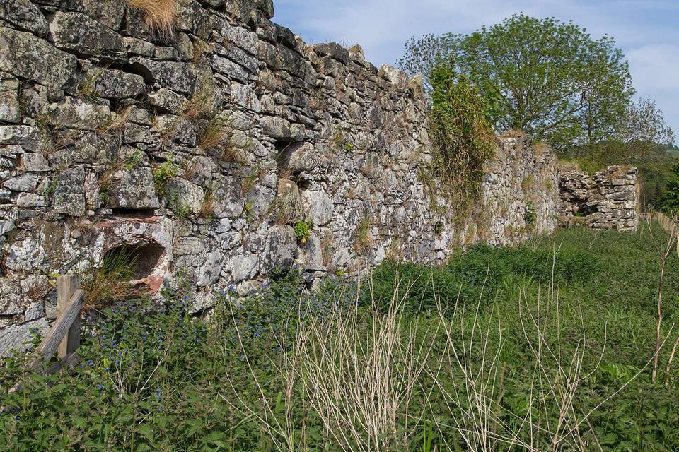
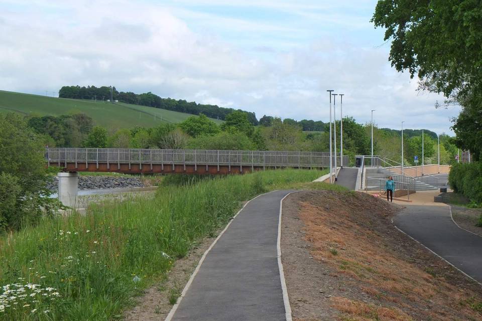
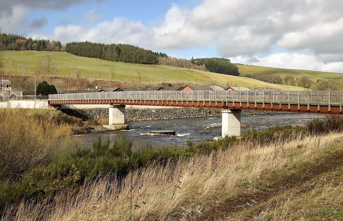
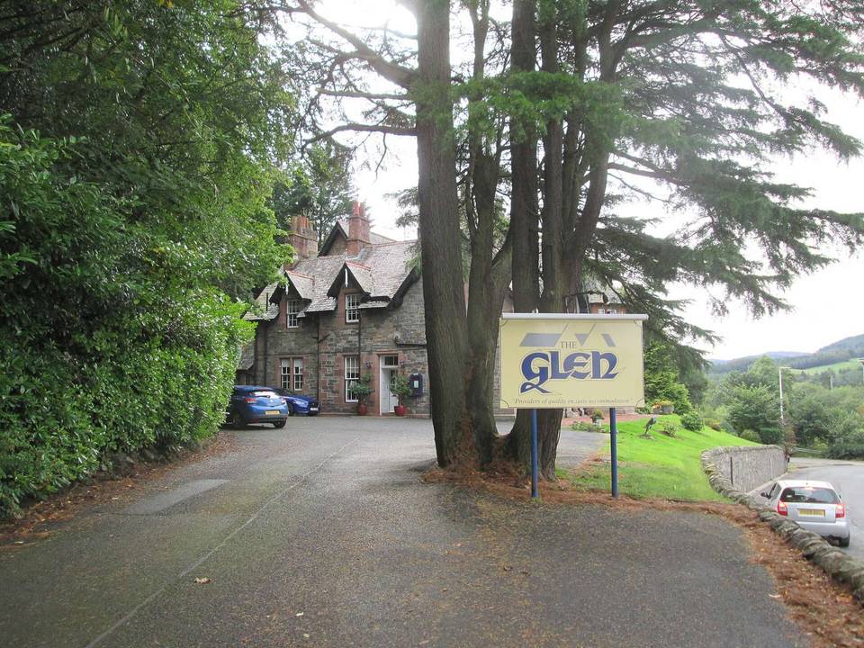
2 photographs from the road

Photo: Tom Parnell · CC BY-SA 4.0 · Wikimedia Commons · Photo: Walter Baxter · CC BY-SA 2.0 · Wikimedia Commons · Photo: Ian S · CC BY-SA 2.0 · Wikimedia Commons

More rides from Selkirk