Cyclists.com

Llwybr Llyn Traws (Trawsfynydd Lake Cycle Route)

Trawsfynydd, Gwynedd, United KingdomMixed

Signed route The waymarked Llwybr Llyn Traws (Trawsfynydd Lake Cycle Route) (local route), traced from OpenStreetMap and measured against the terrain model; no member has recorded it yet. Ridden it? Add your recording and photos.

14 km
Distance
130 m
Elevation gain
Easy
Difficulty
Mixed
Surface
Download GPXMap

Elevation profile

Total ascent
130 m
Distance
14 km
0100200300400m0 km51014 km286 m · highest, at 8.5 kmStartFinish · back at the start

Route overview

This ride suits cyclists ready for a short 13.8 km distance with moderate climbing and mixed surfaces including gravel.

A 13.8 km loop around Trawsfynydd with 130 m climbing, featuring a mix of pavement and gravel surfaces.

The Llwybr Llyn Traws cycle route starts and finishes in Trawsfynydd, making a loop. The route consists of 57% paved surfaces and 42% gravel or unpaved sections. It uses a mix of quiet streets, cycle paths, minor roads, paths, and a short track section. Around 28% is on quiet streets, 27% on cycle paths, and 22% on minor roads. There is a significant climb starting at 6.8 km, lasting 1.6 km with 85 m gain at an average gradient of 5.3% reaching a high point of 285 m at 8.4 km. The route descends over 1.6 km beginning at 0.4 km dropping 29 m, with a generally flat profile over 53% of the distance. Facilities along the route include a café (Canolfan Prysor Centre) at 4.1 km slightly off-route, and minimal food stops otherwise, with the longest stretch without café, shop, or water lasting 9.4 km from 4.1 km to 13.5 km. Shops, a petrol station, and a repair stand are available in Trawsfynydd at the start and finish. Toilets are very near the start at 0.1 km. Notable landmarks include Craig Gyfynys peak at 5.6 km just off-route and Craig Y Gwynt peak near the high point at 8.4 km. About 20% of the route involves climbing, with the steepest 500 m section at the start having a gradient of 15.7%. The longest descent is 1.6 km. The route is suitable for mixed surface cycling with varied riding conditions and moderate climbing.

Highlights

  • Climb of 1.6 km at 5.3% average gradient
  • Craig Gyfynys peak near 5.6 km
  • Craig Y Gwynt peak near 8.4 km
  • Longest descent of 1.6 km from 0.4 km

Along the route

Measured from the recorded track and OpenStreetMap.

Climbs

ClimbStarts atLengthGainAverageMaxTop
6.8 km1.6 km85 m5.3 %9.2 %285 m

High point 285 m at 8.4 km; low point 194 m. Passes beneath Craig Gyfynys, Craig Y Gwynt.

What this ride is like

Measured from OpenStreetMap along the track and the elevation profile.

Roads
28% quiet street · 27% cycle path · 22% minor road · 17% path
Cycle paths
3.7 km on cycle paths or roads with a cycle lane
Surface
57% paved · 42% gravel or unpaved
Gradient
20% climbing · 26% descending · 53% flat
Steep sections
0.8 km over 5% · 0.5 km over 8% · steepest 500 m averages 15.7% at 0 km

Along the way

Within a few hundred metres of the track, from OpenStreetMap. Opening hours change — treat this as where to look, not a promise.

Food, water and shops

  1. 0.1 kmToilets · on the route
  2. 0.1 kmRepair stand · on the route
  3. 4.1 kmCanolfan Prysor Centre · café · 40 m off route
  4. 13.5 kmPetrol station · on the route
  5. 13.6 kmPremier · convenience store · on the route

Worth a stop

  • 5.6 kmCraig Gyfynys (peak, 270 m)

At the start and finish

  • Cross Foxes · pub · 90 m
  • Premier · convenience store · 70 m

Practical information

Surface
Mixed
Route shape
Loop
Riding time
59 min
Best months
Jun to Aug — daily highs of 16–17 °C in those months

Know before you go

  • Longest stretch without café, shop or water is 9.4 km from 4.1 to 13.5 km
  • 42% of the route is gravel or unpaved
  • Steepest 500 m at 15.7% gradient at start

Routes are for inspiration. Roads, surfaces and conditions change — check locally and ride within your limits.

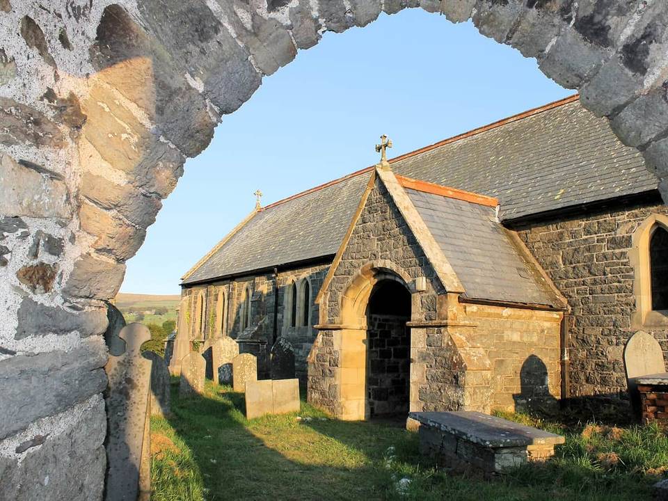
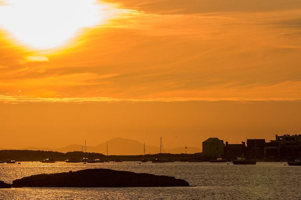
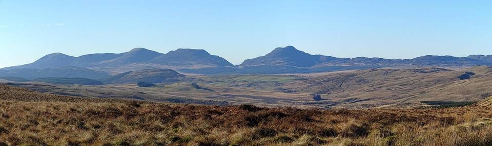
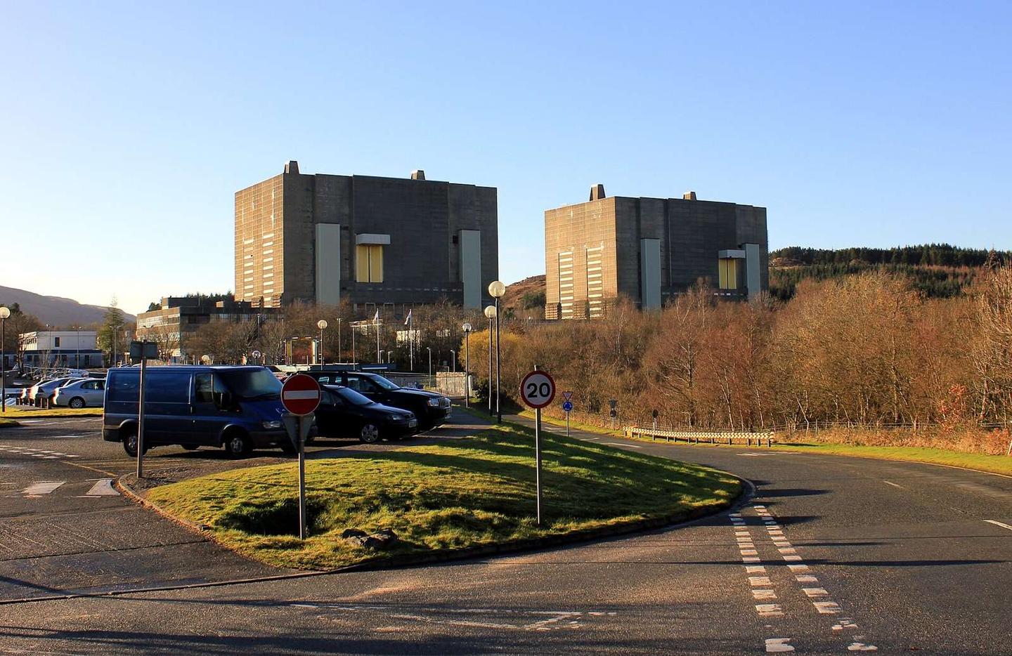
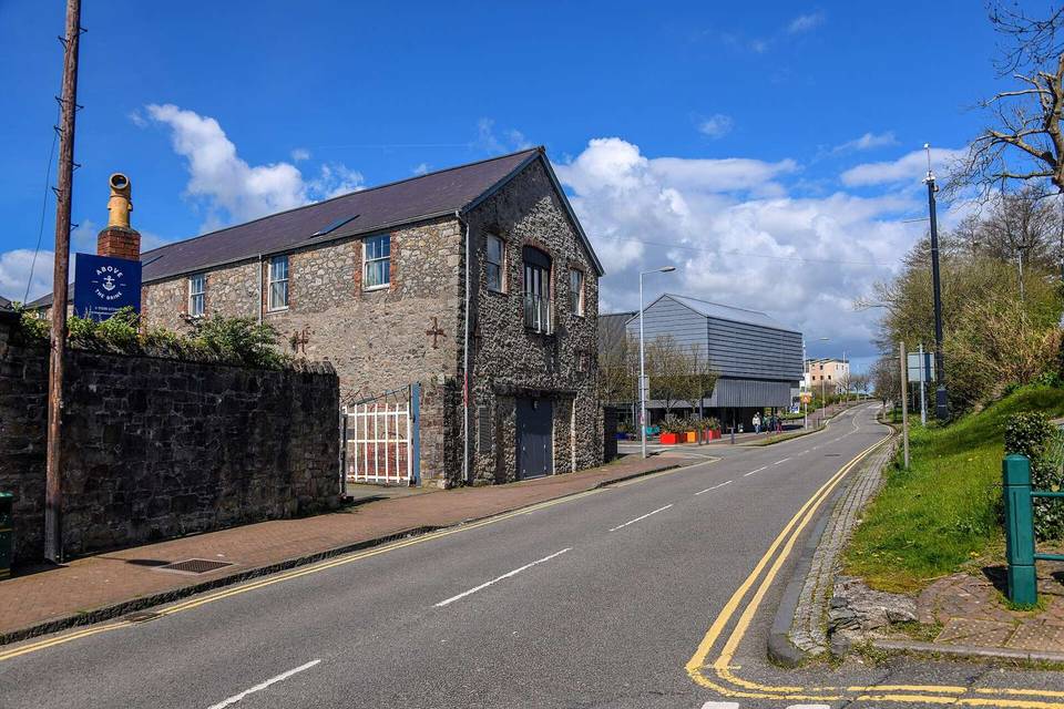
2 photographs from the road

Photo: Jeff Buck · CC BY-SA 2.0 · Wikimedia Commons · Photo: Bill Harrison · CC BY-SA 2.0 · Wikimedia Commons