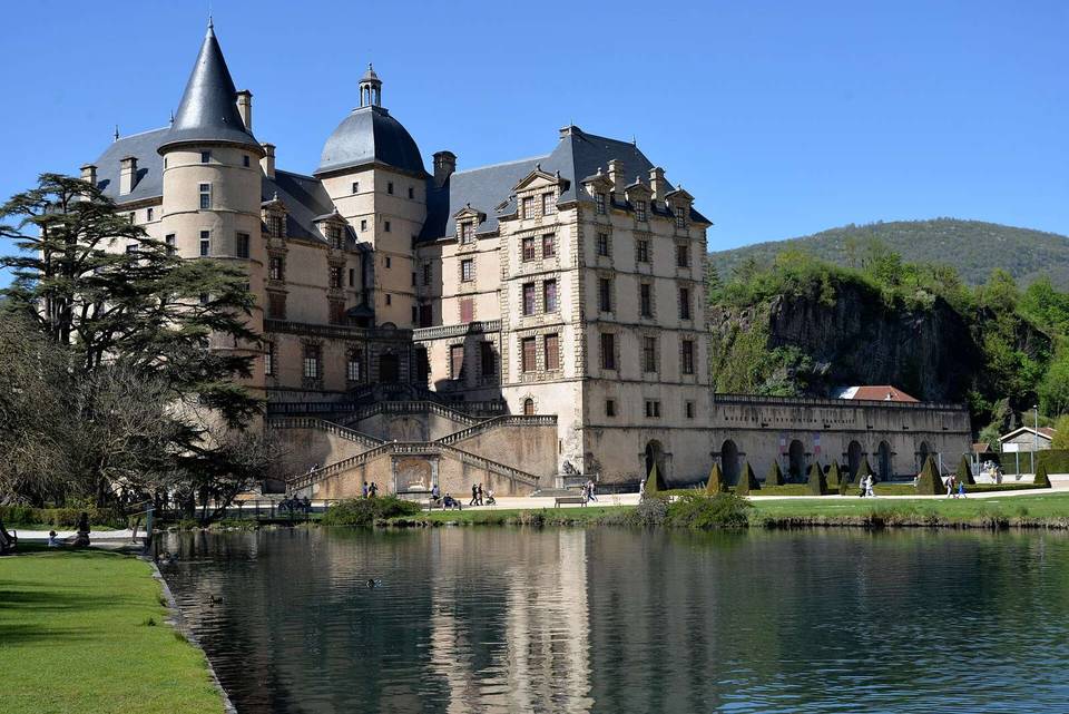
Chamrousse from Uriage-les-Bains
- 18 km
- 1,309 m
- Moderate
- Paved
Elevation profile
- 1,309 m
- 18 km
Route overview
Suited for riders prepared for a sustained 18 km climb with 1309 m of elevation gain.
Climb 18.2 km from Uriage-les-Bains to Chamrousse in France gaining 1309 m.
This 18.2 km route starts near Uriage-les-Bains at an elevation of 414 m and climbs to Chamrousse at 1723 m, gaining 1309 m with an average gradient of 7.5% over 17.4 km. The route predominantly ascends, with 96% climbing and only 1% descending, and includes 16.9 km above 5% gradient, 6 km above 8%, and 1.3 km above 10%. The climb begins at about 0.7 km and continues steadily to the summit. The road is mainly paved (98%), with a small 2% of gravel or unpaved surface. The majority of the ride is on roads with cycle lanes (12.7 km), including 15.4 km on the D 111 road, with some main road sections without a cycle lane covering 3.4 km. The route has 14.3 km on roads with speed limits of 80 km/h or more. At the start, several food and drink options include bakeries, cafés, restaurants, and convenience stores. Along the route, the longest stretch without café, shop, or water is 14.2 km from 0.8 km to 15 km, so planning stops accordingly is advisable. Facilities such as toilets and drinking water are available near the start and at points along the route including around 15 km and near the finish. At the finish in Chamrousse, there are several restaurants and a convenience store. Nearby points of interest include a carousel near the start and ruins of the Chartreuse de Prémol around 8.8 km into the ride.
Highlights
- Climb gains 1305 m at 7.5% average gradient
- 15.4 km on D 111 road
- Longest stretch without cafe or water: 14.2 km
- Peak elevation 1723 m at Chamrousse
Along the route
Climbs
| Climb | Starts at | Length | Gain | Average | Max | Top |
|---|---|---|---|---|---|---|
| Uriage-les-Bains climb | 0.7 km | 17.4 km | 1305 m | 7.5 % | 14.1 % | 1723 m |
Uriage-les-Bains climb · starts at 0.7 km
What this ride is like
- Roads
- 70% road with cycle lane · 19% main road · 6% quiet street · 3% minor road
- Main roads
- 3.4 km on main roads without a cycle lane — likely busier
- Fast roads
- 14.3 km on roads with a limit of 80 km/h or more
- Cycle paths
- 12.7 km on cycle paths or roads with a cycle lane
- Main roads used
- D 111 (15 km)
- Surface
- Paved throughout
- Gradient
- 96% climbing · 1% descending · 3% flat
- Steep sections
- 16.9 km over 5% · 6 km over 8% · 1.3 km over 10%
Along the way
Food, water and shops
- 0 kmPharmacie Cocolomb · pharmacy · 70 m off route
- 0.3 kmCarrefour City · convenience store · 40 m off route
- 0.4 kmToilets · on the route
- 0.7 kmDrinking water · on the route
- 0.8 kmLes 3 elles · bakery · on the route
- 9.3 kmToilets · 250 m off route
- 15 kmDrinking water · 30 m off route
- 17.1 kmToilets · on the route
- 18 kmLes Goumandises de l'Ourson · patisserie · 240 m off route
- 18 kmDrinking water · 120 m off route
- 18.2 kmSherpa Supermarché · convenience store · 150 m off route
- 18.2 kmPharmacy · 120 m off route
Worth a stop
- 0 km — Carousel (attraction)
- 8.8 km — Chartreuse de Prémol (ruins)
At the start
- Les 3 Elles · bakery · 40 m
- La Marmolada · patisserie · 110 m
- La Marine · café · 110 m
- La Fondue · restaurant · 30 m
- Pain et Fromage · convenience store · 30 m
At the finish
- Easy Rider · restaurant · 150 m
- Sherpa Supermarché · convenience store · 150 m
- Le Ch'ti Chamroussien · restaurant · 120 m
- Tacos avenue · fast food · 140 m
- La Sandwicherie · fast food · 150 m
Stay after this ride
- L'Écrin des Neiges Bât A · apartment · 470 m from the finish
- L'Écrin des Neiges Bât C · apartment · 500 m from the finish
- L'Écrin des Neiges Bât B · apartment · 490 m from the finish
- Joubardes C · apartment · 730 m from the finish
- Joubardes B · apartment · 720 m from the finish
Practical information
- Paved
- Point to point
- 1 h 18 min
Know before you go
- 14.2 km without cafe, shop or water from 0.8 km to 15 km
- 3.4 km on main roads without cycle lane
- 14.3 km on roads with 80 km/h or more speed limit
- Steep gradients: 16.9 km over 5%, 6 km over 8%, 1.3 km over 10%