Cyclists.com

Rampe de Laffrey from Vizille

Vizille, FranceRoad

Routed from the map This classic road was traced on OpenStreetMap and measured against the terrain model; no member has recorded it yet. Ridden it? Add your recording and photos.

6 km
Distance
512 m
Elevation gain
Easy
Difficulty
Paved
Surface

Elevation profile

Total ascent
512 m
Distance
6 km
Elevation (m)02004006008001,0000 km2 km4 km6 kmHighest point794 m at 6.1 kmStart0 kmFinish6 km

Route overview

Suitable for riders seeking a short but very steep climb with over 500 m elevation gain.

6.1 km climb on N 85 from Vizille, France, gaining 512 m elevation.

The route starts just outside Vizille and immediately begins the Rampe de Laffrey climb at 0.5 km. It ascends 511 m over 5.6 km, with an average gradient of 9.2% and a maximum of 12%, reaching 793 m at the finish. The steepest 500 m section near the start hits 18.7%. Almost all the route is on main roads, predominantly the N 85 for 5.5 km, and fully paved. Cycle lanes are absent along 6 km of main road. Facilities including shops, cafés, and water are available at the start of the route in Vizille, notably a bakery, market, bike rental and toilets within 0.2 km. After 2.1 km there is a 4 km stretch without café, shop, or water. No eateries or shelters are listed at the top or along the climb.

Highlights

  • Rampe de Laffrey climb
  • Start town Vizille facilities
  • Average gradient 9.2%
  • Top elevation 793 m

Along the route

Measured from the recorded track and OpenStreetMap.

Climbs

ClimbStarts atLengthGainAverageMaxTop
Vizille climb0.5 km5.6 km511 m9.2 %12 %793 m

High point 793 m at 6.1 km; low point 281 m.

Vizille climb · starts at 0.5 km

5.6 km at 9.2% · 511 m
300400500600700ELEVATION (M)9.1%9.9%10%9.1%8.2%0 km123455.6 kmDISTANCE (KM)Vizille climb · 793 mSTEEPEST 10.2%
< 4%4 – 7%7 – 10%> 10%

What this ride is like

Measured from OpenStreetMap along the track and the elevation profile.

Roads
98% main road
Main roads
6 km on main roads without a cycle lane — likely busier
Main roads used
N 85 (6 km)
Surface
Paved throughout
Gradient
92% climbing · 2% descending · 7% flat
Steep sections
5.4 km over 5% · 5.1 km over 8% · 1.4 km over 10% · steepest 500 m averages 18.7% at 0 km

Along the way

Within a few hundred metres of the track, from OpenStreetMap. Opening hours change — treat this as where to look, not a promise.

Food, water and shops

  1. 0.1 kmLe Gavroche · bakery · on the route
  2. 0.1 kmToilets · 60 m off route
  3. 0.2 kmMarché du Château · market · 50 m off route
  4. 0.2 kmDrinking water · 60 m off route
  5. 0.2 kmmvélo+ vizille · bike rental · 40 m off route
  6. 0.2 kmPharmacie du château · pharmacy · on the route

Worth a stop

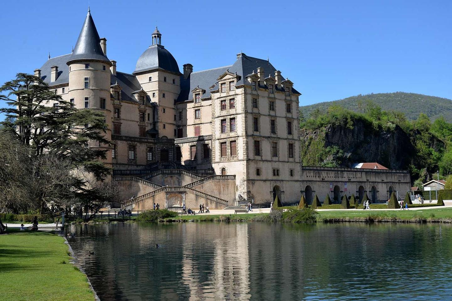
  • 0.2 kmChâteau de Vizille (castle)

At the start

  • Le Gavroche · bakery · 50 m
  • Ancien Bar de la Paix · café · 170 m
  • Houmous & Curry · restaurant · 60 m
  • Relais du Château · restaurant · 30 m
  • Marché du Château · market · 100 m

Stay after this ride

  • Hôtel des Touristes · hotel · 1.5 km from the finish

Practical information

Surface
Paved
Route shape
Point to point
Riding time
26 min

Know before you go

  • 6 km on main roads without cycle lane
  • 4 km without café, shop or water from km 2.1 to 6.1
  • Steepest 500 m section at 18.7% near start

Routes are for inspiration. Roads, surfaces and conditions change — check locally and ride within your limits.

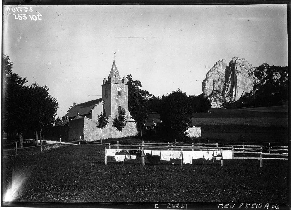
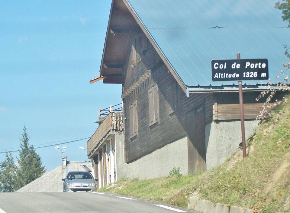
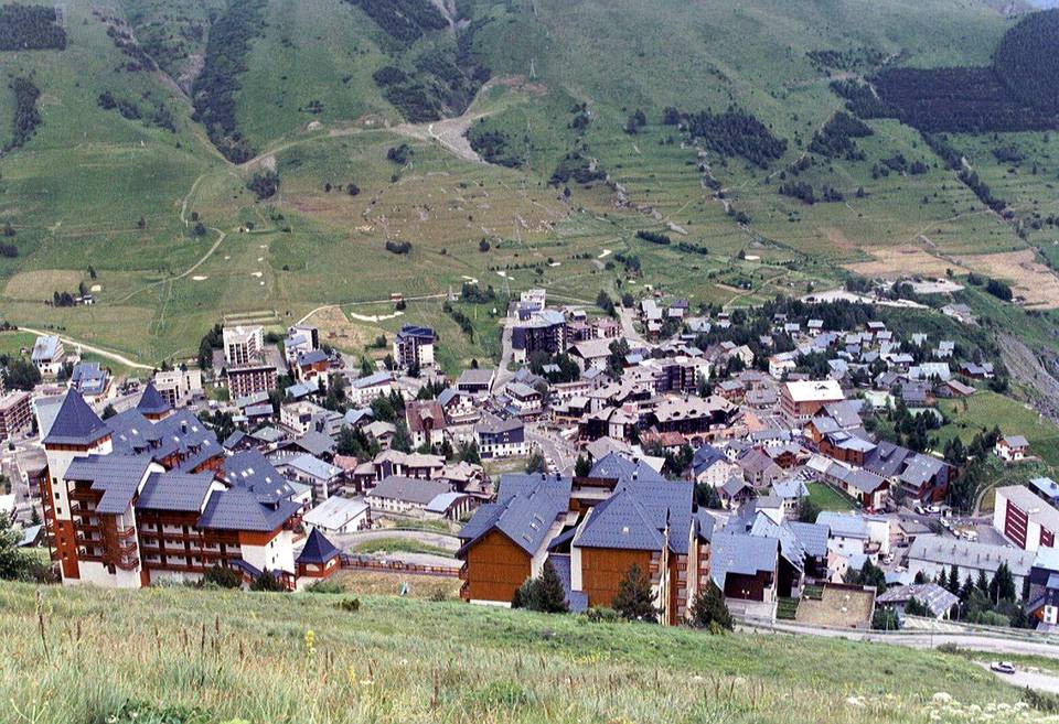
2 photographs from the road

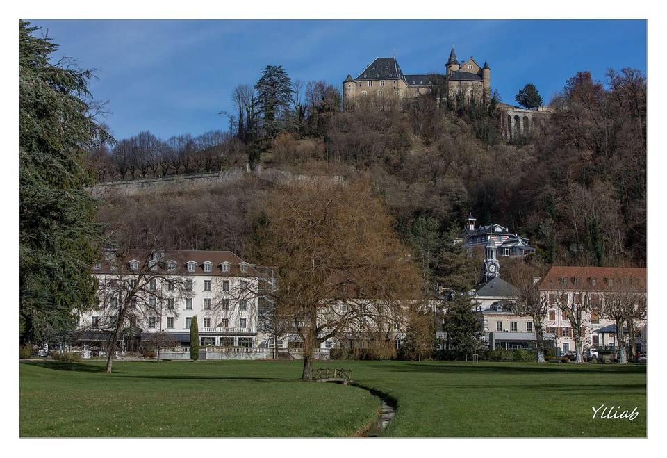
Photo: Agence Rol. Agence photographique (commanditaire) · Public domain · Wikimedia Commons · Photo: Mairie de Notre Dame de Mésage · CC BY-SA 4.0 · Wikimedia Commons · Photo: François GOGLINS · CC BY-SA 4.0 · Wikimedia Commons