Mixed · France
Stage 4 of 7 · Barcelona to Montpellier← Stage 3Stage 5 →
A flat 89 km mixed-surface cycling route from Argelès-sur-Mer, Languedoc to Gruissan through Saint-Cyprien Sud, Canet-en-Roussillon and Torreilles-Plage, with 42 m of climbing. Mixed surface: 73% is mapped as paved and 24% as gravel or unpaved and 3% has no surface data.
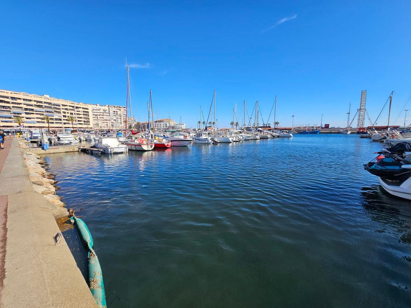
Starting at Argelès-Plage, the route passes through coastal towns including Saint-Cyprien Sud, Canet-en-Roussillon, and Sainte-Marie-la-Mer. It follows a mix of paths, minor roads, and tracks, with paved surfaces making up 73% and gravel 24%. The ride includes 23.3 km on paths, 22 km on minor roads, and 16.9 km on tracks, plus 6 km of cycle paths and lanes. The longest named road section is 3.2 km on D 27. The elevation profile is mostly flat at 98%, with a highest point of 30 m at 48.3 km near Leucate and a lowest of 0 m near the end.
Services are available early in the ride with several bakeries, supermarkets, bike shops, and water points especially from Argelès-sur-Mer to Leucate. There is a longest stretch of 12.3 km without café, shop, or water between km 73.3 and 85.6. Bailout stations with train access are at Leucate-La Franqui (km 55) and Port-la-Nouvelle (km 66.7). The route ends in Gruissan, where cafés, bakeries, and restaurants provide opportunities for refreshment.
Mostly minor roads and streets on the map; 1.9 km is on main roads without a cycle lane.
No stretch is longer than 15 km without a café, shop or water. Along the route: 389 cafés and restaurants, 58 shops, 17 water points, 10 petrol stations, 53 public toilets and 19 bike shops.