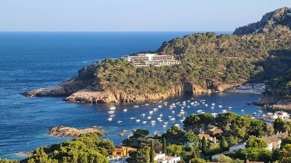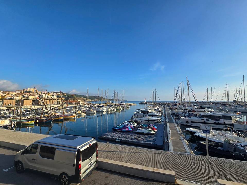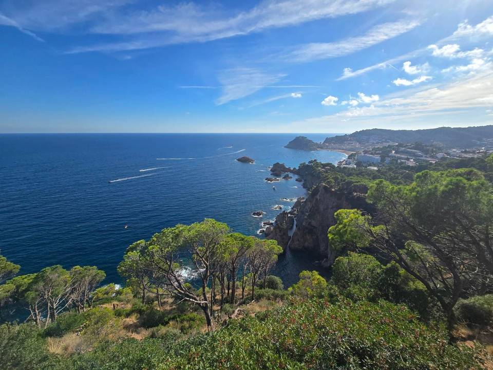
Mixed · Spain
Stage 3 of 7 · Barcelona to Montpellier← Stage 2Stage 4 →
A rolling 92 km mixed-surface cycling route from L'Escala, Catalonia to Argelès-sur-Mer over the Col de Banyuls through Camp dels Pilans, l'Armentera and Empuriabrava, with 637 m of climbing. There is a 25 km stretch without a café, shop or water (km 42–66). Mixed surface: 79% is mapped as paved and 18% as gravel or unpaved and 2% has no surface data.
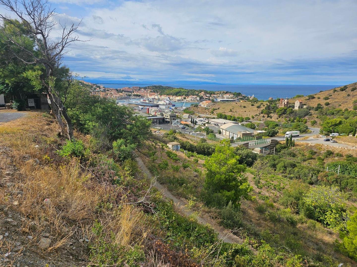
This point-to-point route starts at L'Escala in Catalonia and runs 91.5 km to Argelès-sur-Mer in France, crossing from Spain to France after about 47 km near Rabós. The road surface is mostly paved (79%), with 18% gravel or unpaved. The route includes 29.2 km of minor roads, 21.8 km of main roads (22 km without cycle lanes), 12.5 km of tracks, and smaller sections of quiet streets, paths, and cycle lanes.
The first half of the ride gains about 35% of the total 774 m elevation, with climbing scattered in several segments. Notable climbs include a 3.2 km section starting near 46.7 km gaining 118 m at an average 3.7% gradient, followed by climbs of 1.8 km and 2.7 km reaching up to 341 m altitude. The route's highest point is at 59.2 km. Descents include a longest stretch of 5.3 km starting at 61.7 km.
Starting in L'Escala, riders will pass through places such as Sant Pere Pescador (12.2 km), Castelló d'Empúries (19.5 km), and Banyuls-sur-Mer (70 km). Cafés, bakeries, and shops are available early on and near Banyuls-sur-Mer towards the end, but there is a 24.5 km stretch without café, shop, or water between 41.7 and 66.2 km. Bailout points include Vilajuïga at 38.4 km and railway stations at Banyuls-sur-Mer and Collioure. The route follows named roads like Carretera del Coll de Banyuls for 8 km and Route du Col de Banyuls for 6.1 km near the climb.
| Climb | Starts at | On this ride | Top on this ride |
|---|---|---|---|
| Unnamed climb | 46.7 km | 3.2 km · 118 m · 3.7 % · max 6.4 % | 194 m |
| Unnamed climb | 52.3 km | 1.8 km · 52 m · 2.9 % · max 4.5 % | 203 m |
| Unnamed climb | 56.5 km | 2.7 km · 121 m · 4.4 % · max 8 % | 341 m |
| Unnamed climb | 73.8 km | 1.4 km · 58 m · 4.3 % · max 6.9 % | 65 m |
Expect stretches on main roads without a cycle lane (22 km in all) between quieter sections.
The longest stretch without a café, shop or water is 25 km, from km 42 to 66. Along the route: 311 cafés and restaurants, 56 shops, 32 water points, 6 petrol stations, 22 public toilets and 6 bike shops.