Cyclists.com

Pals – Cruïlles roads and gravel loop

Pals, Catalonia, SpainRoad

44 km
Distance
261 m
Elevation gain
Moderate
Difficulty
Paved
Surface

Elevation profile

261 m over 44 km

Route overview

Suits riders after a moderate half-day: 43.6 km with only 261 m of climbing and no sustained ascents.

A 43.6 km loop from Pals through the Empordà villages to Cruïlles and la Bisbal d'Empordà, with 261 m of climbing.

The loop leaves Pals past two viewpoints, including the Mirador d'en Josep Pla, and drops almost immediately to the lowest point of the day at 7 m around km 2.1. A string of hamlets follows in quick succession: Sant Feliu de Boada, Fontclara, Sant Julià de Boada and Palau-sator, then Peratallada at km 5.8, where the Torre de les Hores, restaurants and drinking water sit within a few hundred metres of each other. Canapost, Vulpellac and Fonteta come next, the road passing beneath Puig d'en Torró (90 m) at km 6.6. The middle section carries most of the climbing — 53% of the total gain falls in the first half — rising through Cruïlles at km 15.1 and Mas Savalls to Sant Sadurní de l'Heura and the high point of 110 m at km 18.3. Sant Miquel de Cruïlles, Veïnat de Sant Joan, Rabioses and Sant Joan de Salelles follow as the ground falls away again. la Bisbal d'Empordà at km 31.4 is the largest settlement on the route, with cafés, restaurants and fountains. From there it is a gentle run back via la Barceloneta, Torrent and Torrentí to Pals.

Highlights

  • Mirador d'en Josep Pla above Pals at km 0.3
  • Peratallada and the Torre de les Hores at km 5.8
  • High point of 110 m at Sant Sadurní de l'Heura
  • Cafés and fountains in la Bisbal d'Empordà, km 31.4

Along the route

Measured from the recorded track and OpenStreetMap.

Places passed

  1. Sant Feliu de Boada 2.6 km
  2. Fontclara 3.1 km
  3. Sant Julià de Boada 3.1 km
  4. Palau-sator 3.8 km
  5. Peratallada 5.8 km
  6. Canapost 7.7 km
  7. Vulpellac 9.8 km
  8. Fonteta 10.6 km
  9. Cruïlles 15.1 km
  10. Mas Savalls 17.5 km
  11. Sant Sadurní de l'Heura 17.9 km
  12. Banyeres 18 km
  13. el Rissec 18.2 km
  14. Sant Miquel de Cruïlles 20.1 km
  15. Veïnat de Sant Joan 22.6 km
  16. el Pou de Glaç 25.8 km
  17. Can Salva 25.8 km
  18. Rabioses 25.8 km
  19. Sant Joan de Salelles 27.6 km
  20. la Bisbal d'Empordà 31.4 km
  21. la Barceloneta 38.9 km
  22. Torrent 39.7 km
  23. Torrentí 40.1 km

On the road

  • Water 0 km
  • Restaurant 0 km
  • Viewpoint 0.2 km
  • Mirador d'en Josep Pla (Viewpoint) 0.3 km
  • Restaurant D.O. Candelaria (Restaurant) 5.7 km
  • Water 5.7 km
  • El Pati (Restaurant) 5.8 km
  • Water 5.8 km
  • Torre de les Hores (Viewpoint) 5.8 km
  • Restaurant 5.8 km
  • Water 5.9 km
  • Water 11.8 km

Practical information

Surface
Paved
Route shape
Loop
Riding time
2–3 hours riding
Season
The single recording is from July, at 32 °C, so spring and autumn will be more comfortable.

Know before you go

  • 32 °C recorded in July — carry water for the middle section
  • No café or restaurant listed between km 12 and km 31

Routes are for inspiration. Roads, surfaces and conditions change — check locally and ride within your limits.

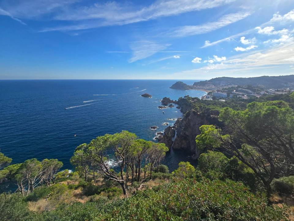
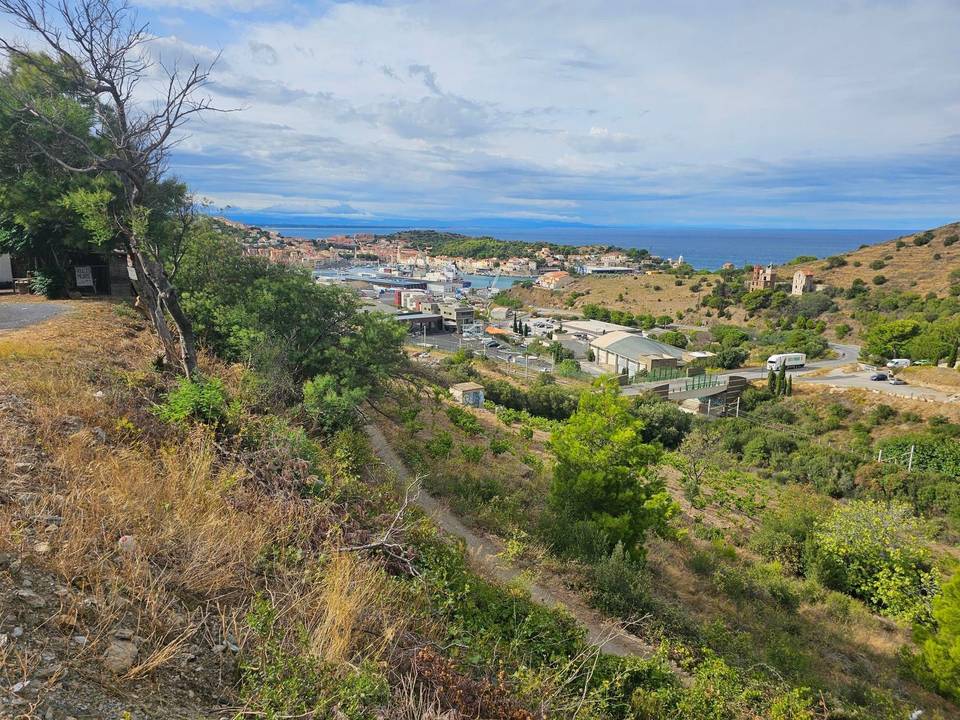
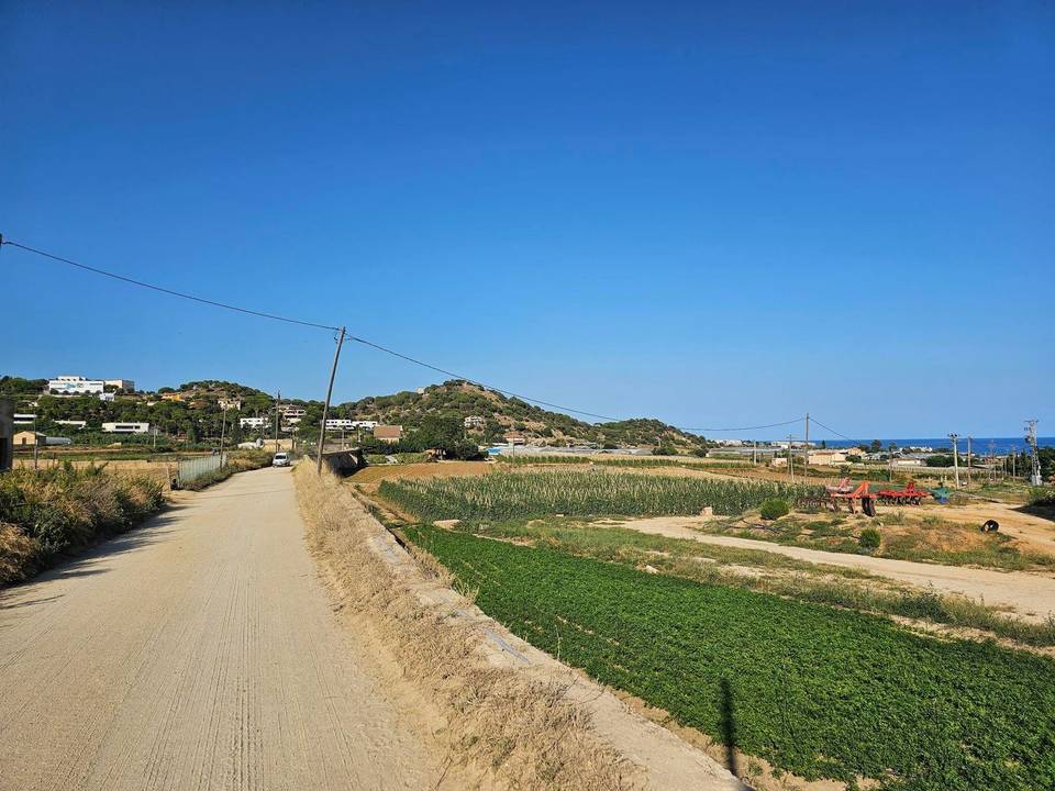
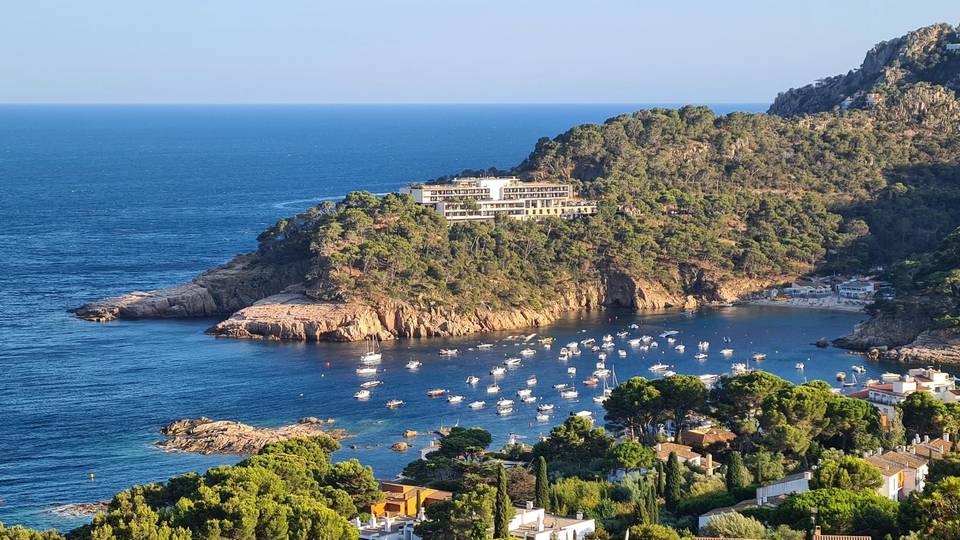
7 photographs from the road