Mixed · Spain
Stage 18 of 18 · Rotterdam to Barcelona← Stage 17
Stage 1 of 7 · Barcelona to MontpellierStage 2 →
A flat 77 km road cycling route from Barcelona, Catalonia to Lloret de Mar Along the Maresme Coast through Venta de Goya, Palafolls and Malgrat de Mar, with 208 m of climbing.
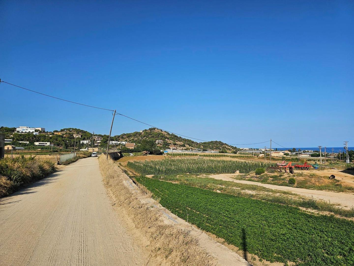
This 77.3 km point-to-point route starts at Lloret de Mar beneath Muntanya de s'Esquinze (78.8 m) and follows the Maresme coast towards Barcelona. The route climbs 239 m in total, with the main climb beginning at 2.7 km lasting 1.3 km and gaining 43 m at an average gradient of 3.2%. The highest point is 58 m at 4.1 km near Muntanya d'en Roviralta and Turó d'en Reinaldo.
Most of the ride is flat or gently rolling, with 87% flat riding and only 0.2 km over 5% gradient. The longest descent is 1.4 km from 4.2 km, dropping 31 m. The surface is 88% paved with 5% gravel or unpaved sections. The road mix includes 47% main roads, 17% paths, and 14% quiet streets. There are 36 km on main roads without cycle lanes, and 3.7 km on roads with 80 km/h speed limits or above.
The route passes through many towns including Blanes, Malgrat de Mar, Calella, Mataró, Badalona, and finally Barcelona. Services include supermarkets at the start and finish as well as cafes and bakeries along the way, with the longest stretch without a cafe, shop or water being 2.3 km between 25.2 and 27.5 km. Bailout points with stations appear regularly, for example at Pineda de Mar (18 km) and Mataró (42 km).
| Climb | Starts at | On this ride | Top on this ride |
|---|---|---|---|
| Unnamed climb | 2.7 km | 1.3 km · 43 m · 3.2 % · max 4.8 % | 58 m |
Expect stretches on main roads without a cycle lane (36 km in all) between quieter sections.
No stretch is longer than 15 km without a café, shop or water. Along the route: 2382 cafés and restaurants, 559 shops, 330 water points, 50 petrol stations, 96 public toilets and 210 bike shops.