Cyclists.com

Blanes to L'Escala

Blanes, Catalonia, SpainRoad

94 km
Distance
631 m
Elevation gain
Hard
Difficulty
Paved
Surface
On the road: Blanes to L'Escala

Elevation profile

631 m over 94 km

Route overview

Suits riders comfortable with a 94 km day; the 631 m of climbing is modest and concentrated in the first half.

A 94 km point-to-point along the Catalan coast and Empordà plain, from Blanes to l'Escala, with 631 m of climbing.

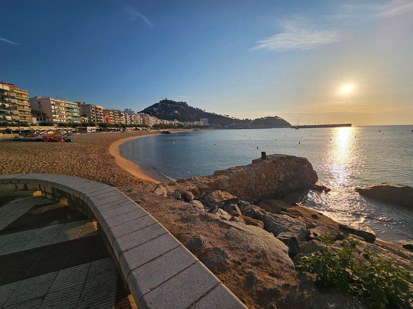
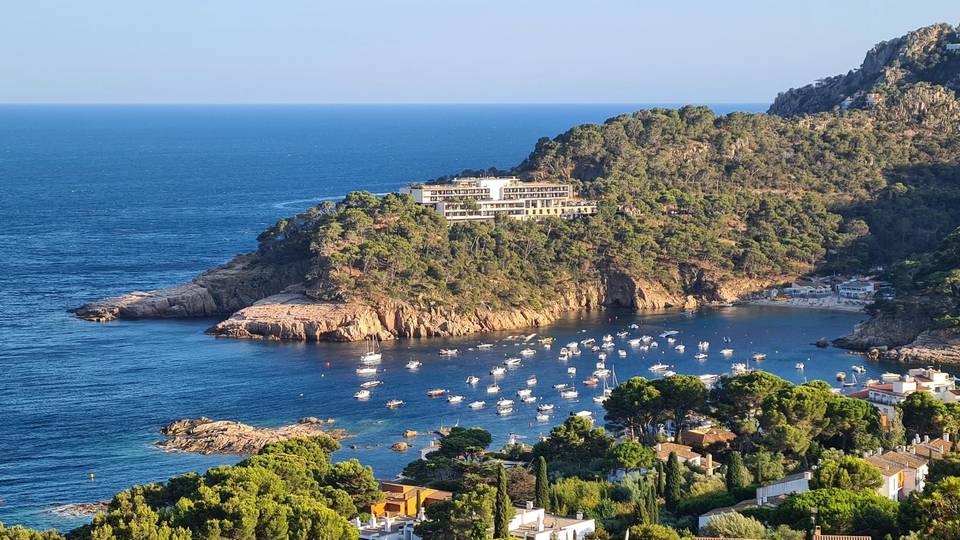
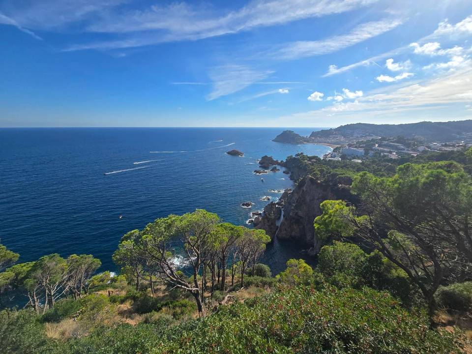
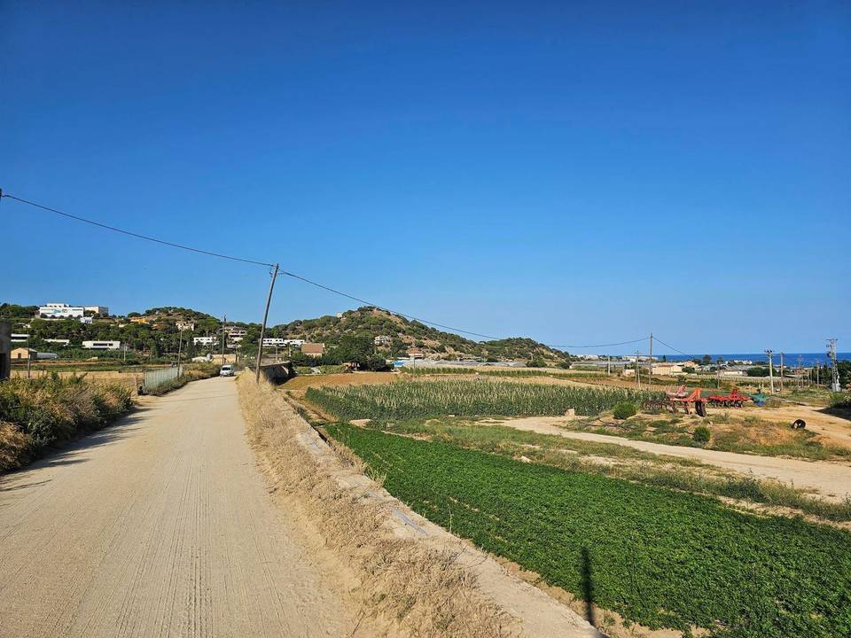
The route leaves Blanes beneath sa Palomera and Turó de Sant Joan, runs through Valldolig and Venta de Goya and reaches Lloret de Mar at 6.2 km. Almost all the climbing comes early: a 1.9 km rise at 4.2% from 10.1 km tops out at 126 m, and a longer 4.2 km climb at 4.1% from 18 km leads to 235 m. The high point of the ride, 244 m, follows at 24.4 km, and 72% of the total gain is done in the first half. From there the road drops through Llobatera to Llagostera at 31.6 km, then Santa Cristina d'Aro and Castell d'Aro before returning to the coast at Platja d'Aro. Sant Antoni de Calonge and Palamós follow, with the lowest point of the route, 4 m, at 53.7 km. The second half is flatter and more open. Vall-llobrega, Mont-ras and Palafrugell come in quick succession, then Regencós and Pals at 70.6 km. Across the plain the route reaches Torroella de Montgrí at 79.2 km, passes Ullà and Bellcaire d'Empordà, and finishes in l'Escala at around 90 km.

Highlights

  • 4.2 km climb at 4.1% to 235 m from km 18
  • High point of 244 m at km 24.4
  • Coastal run through Platja d'Aro and Palamós
  • Hilltop villages of Regencós and Pals

Along the route

Measured from the recorded track and OpenStreetMap.

Places passed

  1. Venta de Goya 4.4 km
  2. Lloret de Mar 6.2 km
  3. les Alegries 8.7 km
  4. la Fermina 13 km
  5. Llobatera 26.8 km
  6. Gaià 31.4 km
  7. Llagostera 31.6 km
  8. Xalets d'en Pijoan 33.7 km
  9. Penedes 37 km
  10. Santa Cristina d'Aro 41.6 km
  11. Bufaganyes 43.1 km
  12. Castell d'Aro 44.2 km
  13. Platja d'Aro 47.6 km
  14. Sant Antoni de Calonge 52.8 km
  15. Palamós 54.5 km
  16. Sant Joan de Palamós 55.2 km
  17. el Figuerar 56 km
  18. Vall-llobrega 57.7 km
  19. Canyelles 59 km
  20. Ermedàs 61 km
  21. Mont-ras 63 km
  22. Palafrugell 63.5 km
  23. Esclanyà 65.5 km
  24. Puigcalent 67.1 km
  25. l'Arrabassada 67.6 km
  26. Regencós 67.7 km
  27. Pals 70.6 km
  28. el Mas Tomasi 71.8 km
  29. Torroella de Montgrí 79.2 km
  30. Ullà 81.3 km
  31. Bellcaire d'Empordà 84.7 km
  32. la Bolleria 85 km
  33. Sobrestany 85.6 km
  34. Camp dels Pilans 89.7 km
  35. l'Escala 89.9 km
  36. Les Corts 90.7 km

On the road

  • La Tapeta (Restaurant) 0.1 km
  • Water 0.1 km
  • La Cooperativa (Restaurant) 0.1 km
  • Bar Rafel (Café) 0.1 km
  • Poma Verda (Café) 0.1 km
  • L'Activa 7.0 (Restaurant) 0.1 km
  • Sa Croqueta (Restaurant) 0.1 km
  • El Racó De Laura (Restaurant) 0.1 km
  • Xocolateria (Café) 0.1 km
  • Bacchio (Café) 0.1 km
  • Cacau Café (Café) 0.1 km
  • Sweet Heart (Café) 0.1 km

Climbs

Starts atLengthGainAverageMaxTop
10.1 km1.9 km82 m4.2 %7.8 %126 m
18 km4.2 km171 m4.1 %7.8 %235 m

High point 244 m at 24.4 km; low point 4 m. Passes beneath Turó de la Creu, Puig d'en Lladró, sa Palomera.

Practical information

Surface
Paved
Route shape
Point to point
Riding time
5½–7½ hours riding
Season
September, when 25°C was recorded, gives workable temperatures for the exposed coastal and plain sections.

Know before you go

  • Recorded at 25°C in September; carry water for the open Empordà plain
  • Gradients reach 7.8% on both early climbs

Routes are for inspiration. Roads, surfaces and conditions change — check locally and ride within your limits.

8 photographs from the road

Part of