Mixed · Spain
Stage 17 of 18 · Rotterdam to Barcelona← Stage 16Stage 18 →
A rolling 87 km mixed-surface cycling route from L'Estartit, Catalonia to Lloret de Mar Along the Costa Brava through el Traient, Fontanilles and Sant Feliu de Boada, with 687 m of climbing. Mixed surface: 86% is mapped as paved and 12% as gravel or unpaved and 2% has no surface data.
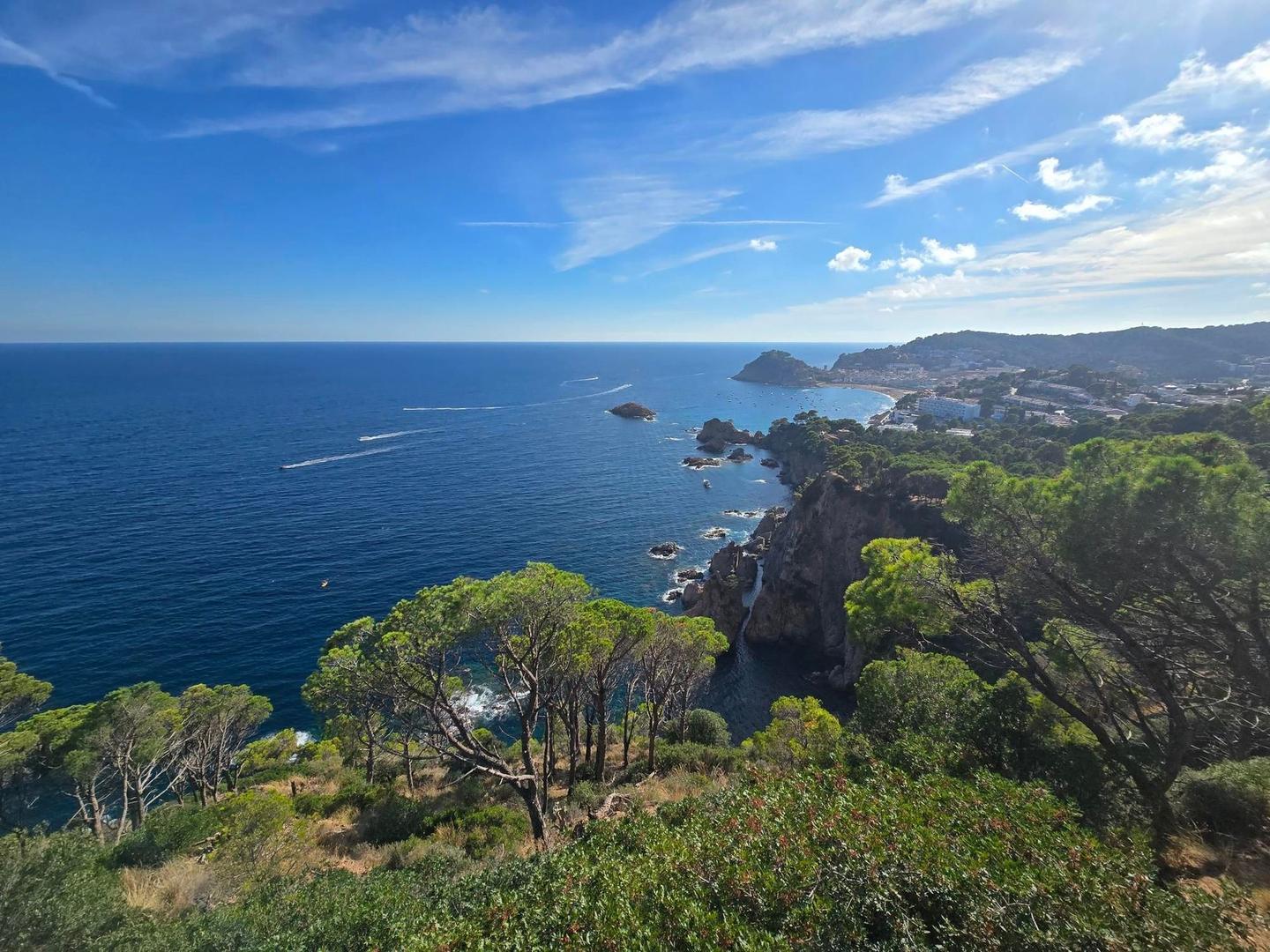
Starting in L'Estartit at 0.5 km, the route heads through several places including Torroella de Montgrí (9.4 km), Palafrugell (28.6 km), Palamós (38 km), Sant Feliu de Guíxols (50.9 km), and Tossa de Mar (70.4 km) before reaching Lloret de Mar (79.8 km). The highest point along the way is 178 m at 74.6 km. The ride features 787 m of elevation gain distributed mainly in three climbs: a 3.4 km ascent beginning at 52.3 km with an average gradient of 3.1%, a shorter 1.6 km climb starting at 67.2 km with a 3.4% average, and the longest 4.2 km climb at 70.4 km averaging 4% gradient with a maximum of 6.9%. The route profile is 18% climbing, 18% descending, and 64% flat. The surface is predominantly paved (86%) with 12% on gravel or unpaved roads and 2% unmapped. The roads are a mix of main roads (35%) with 28 km ridden without cycle lanes, minor roads (25%), quiet streets (19%), tracks (8%), paths (6%), cycle paths (6%), and 2% pedestrian. Main roads include GI-682 for 21.1 km. There is a 6.8 km stretch without café, shop, or water between km 2.3 and 9.1. Multiple supermarkets, cafés, bakeries, and restaurants appear at various points along the route, including at the start in L'Estartit and finish in Lloret de Mar.
| Climb | Starts at | On this ride | Top on this ride |
|---|---|---|---|
| Unnamed climb | 52.3 km | 3.4 km · 108 m · 3.1 % · max 8 % | 116 m |
| Unnamed climb | 67.2 km | 1.6 km · 55 m · 3.4 % · max 5 % | 101 m |
| Unnamed climb | 70.4 km | 4.2 km · 166 m · 4 % · max 6.9 % | 178 m |
Expect stretches on main roads without a cycle lane (28.1 km in all) between quieter sections.
No stretch is longer than 15 km without a café, shop or water. Along the route: 551 cafés and restaurants, 91 shops, 48 water points, 14 petrol stations, 31 public toilets and 12 bike shops.