Cyclists.com

Gruissan to Sète along the Canal du Midi

Gruissan, Languedoc, FranceRoad

102 km
Distance
150 m
Elevation gain
Moderate
Difficulty
Paved
Surface
On the road: Gruissan to Sète along the Canal du Midi

Elevation profile

150 m over 102 km

Route overview

Suited to riders of any level who can manage 101.8 km, since the 150 m of climbing makes distance the only real demand.

A flat 101.8 km point-to-point along the Languedoc coast from Gruissan to S\u00e8te, with just 150 m of climbing.

The route leaves Gruissan past the port and heads north-east along the shore, through Le Bouis, Les Ayguades and Narbonne-Plage at 10 km, then Saint-Pierre-la-Mer and Les Cabanes de Fleury at 22.9 km. Valras-Plage and S\u00e9rignan follow, then Portiragnes and Portiragnes Plage before Vias at 47.9 km and Agde, the halfway town, at 54 km. Beyond Agde the coast strip continues through Marseillan Plage and Marseillan, then the road turns inland around the lagoon shore by Montp\u00e9n\u00e8bre and Mourre-Blanc to M\u00e8ze at 77 km. Loupian, La Catonni\u00e8re and Bouzigues come in quick succession; the lowest point of the whole ride, 5 m below sea level, is at 83.2 km near Bouzigues. The last stretch passes Issanka, Balaruc-le-Vieux, La Fiau and Balaruc-les-Bains, touching the high point of the route at all of 14 m at 93.3 km, before La Peyrade at 97.4 km and the run into S\u00e8te. With 150 m of gain across 101.8 km and only 18% of it in the first half, the profile is essentially flat throughout.

Highlights

  • Coastal villages from Narbonne-Plage to Valras-Plage
  • Agde at the halfway mark, 54 km in
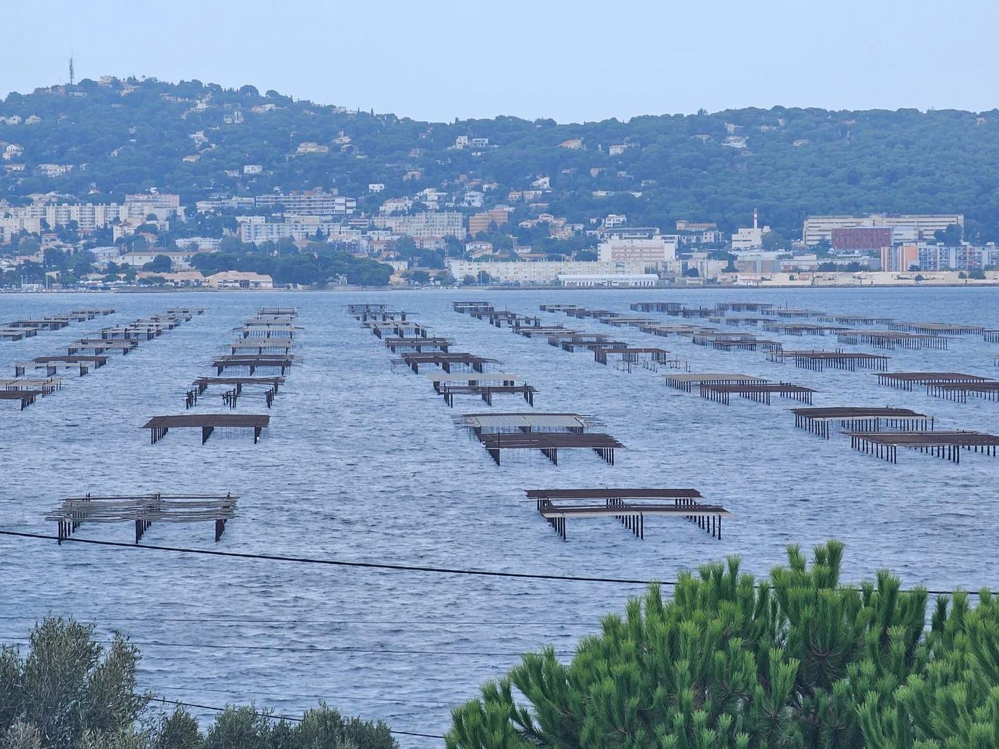
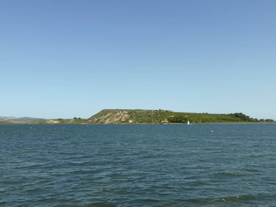
  • Lagoon shore through M\u00e8ze, Loupian and Bouzigues
  • Lowest point at 5 m below sea level near Bouzigues

Along the route

Measured from the recorded track and OpenStreetMap.

Places passed

  1. Le Bouis 3 km
  2. Les Ayguades 5.9 km
  3. Narbonne-Plage 10 km
  4. Saint-Pierre-la-Mer 13 km
  5. Les Cabanes de Fleury 22.9 km
  6. Valras-Plage 29.6 km
  7. Sérignan 34.4 km
  8. Portiragnes 39.7 km
  9. Portiragnes Plage 42.7 km
  10. Vias 47.9 km
  11. Agde 54 km
  12. Marseillan Plage 61.3 km
  13. Marseillan 65.6 km
  14. Montpénèbre 70.4 km
  15. Mourre-Blanc 74.1 km
  16. Mèze 77 km
  17. Loupian 79.7 km
  18. La Catonnière 82.4 km
  19. Bouzigues 83.6 km
  20. Issanka 87.6 km
  21. Balaruc-le-Vieux 88.7 km
  22. La Fiau 90 km
  23. Balaruc-les-Bains 90.9 km
  24. La Peyrade 97.4 km

On the road

  • Le Lamparo (Restaurant) 0 km
  • La Cranquette (Restaurant) 0 km
  • La Tavola (Restaurant) 0 km
  • Ma'thé (Café) 0 km
  • Le Nopal (Restaurant) 0 km
  • O BarBerousse (Restaurant) 0 km
  • Viewpoint 0.1 km
  • Le Joffre (Restaurant) 0.5 km
  • Les Pizzas d'Antonin (Restaurant) 0.5 km
  • Les Vieilles Nouvelles (Restaurant) 0.5 km
  • Café 0.5 km
  • Pizza Jo (Restaurant) 0.5 km

Practical information

Surface
Paved
Route shape
Point to point
Riding time
6–8½ hours riding

Know before you go

  • No cafes or restaurants recorded after Narbonne-Plage at 10 km
  • Exposed flat coastal riding with no shelter noted

Routes are for inspiration. Roads, surfaces and conditions change — check locally and ride within your limits.

11 photographs from the road

Part of