Mixed · France
Stage 6 of 7 · Barcelona to Montpellier← Stage 5Stage 7 →
A flat 92 km mixed-surface cycling route from Sète, Languedoc to Aimargues Through the Camargue through Frontignan, Vic-la-Gardiole and Aimargues, with 39 m of climbing. Mixed surface: 85% is mapped as paved and 14% as gravel or unpaved.
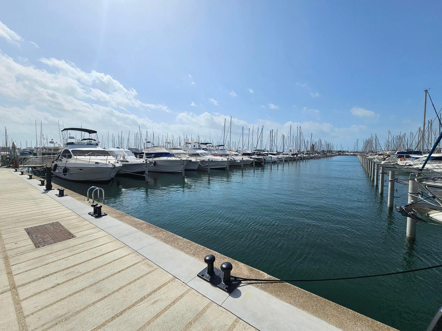
This 92.2 km point-to-point route starts in Sète, passing La Peyrade at 1 km and Frontignan at 4.5 km. It continues through multiple towns including Les Aresquiers, Vic-la-Gardiole, Mireval, and Palavas-les-Flots, reaching the lowest point of -1 m near 31.3 km. The route follows various road types: 32% cycle paths, 16% paths, 14% quiet streets, and others including minor roads and a small section on main roads without cycle lanes. Gravel or unpaved surface makes up 14% of the distance. The climb is minimal with just 54 m elevation gain overall, mostly flat riding with 99% flat gradients.
Mostly minor roads and streets on the map; 5.5 km is on main roads without a cycle lane.
No stretch is longer than 15 km without a café, shop or water. Along the route: 368 cafés and restaurants, 62 shops, 17 water points, 10 petrol stations, 49 public toilets and 19 bike shops.