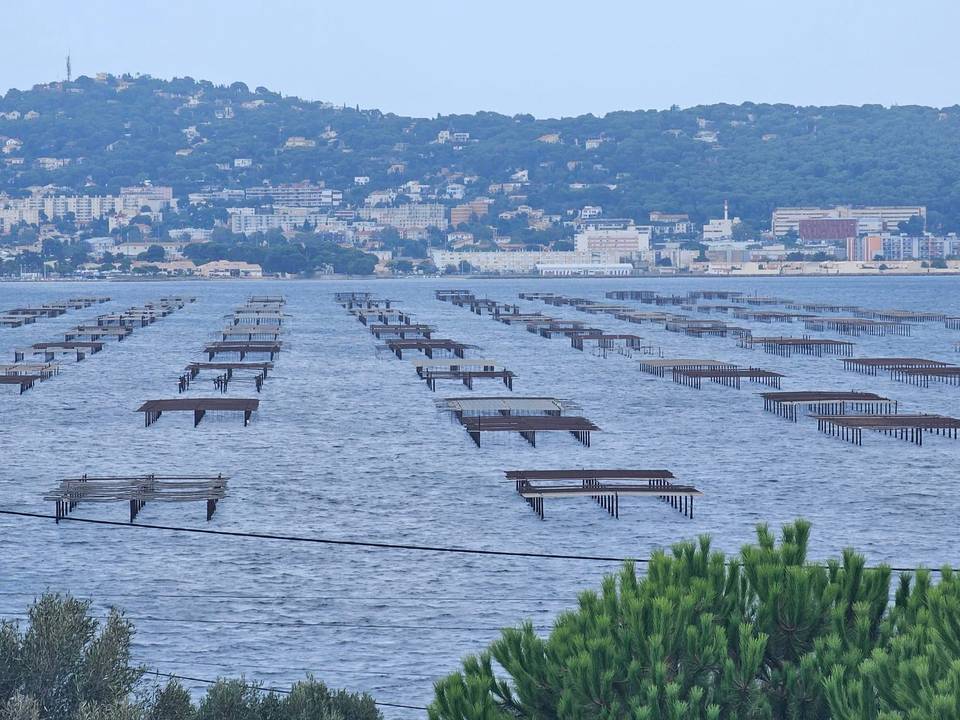
Mixed · France
Stage 15 of 18 · Rotterdam to Barcelona← Stage 14Stage 16 →
A rolling 103 km mixed-surface cycling route from Sigean, Languedoc to Banyuls-sur-Mer through La Palme, Leucate-Plage and Torreilles-Plage, with 478 m of climbing. Mixed surface: 85% is mapped as paved and 13% as gravel or unpaved and 2% has no surface data.
Starting in Sigean, the route passes through nearby hamlets before reaching La Palme at 9 km. The first climb starts at 1.6 km and rises 77 m over 1.9 km with a max gradient of 9.3%, topping out at 111 m by 3.5 km. The ride continues mostly flat or gently rolling on varied surfaces: 85% paved, 13% gravel or unpaved. Roads include 27 km of cycle paths or tracks, 20 km minor roads, 15 km main roads (all without cycle lanes), and quieter streets and lanes.
After sailing along coastal towns including Leucate, Port Barcarès, Saint-Cyprien Plage, and Collioure, the final portion features three moderate climbs between km 78 and 91 gaining about 155 m total. The highest climb starts at 78.5 km for 2.2 km at 3.1% average. Amenities are plentiful, with many cafés and bakeries near the start, several supermarkets and bike shops en route, and a longest stretch of 8.6 km without café or shop between 0.2 and 8.8 km. The finish at Banyuls-sur-Mer offers restaurants, a bakery, a café, and a supermarket.
| Climb | Starts at | On this ride | Top on this ride |
|---|---|---|---|
| Unnamed climb | 1.6 km | 1.9 km · 77 m · 4.1 % · max 9.3 % | 111 m |
| Unnamed climb | 78.5 km | 2.2 km · 67 m · 3.1 % · max 4.9 % | 75 m |
| Unnamed climb | 83.6 km | 1.3 km · 41 m · 3.2 % · max 7.4 % | 61 m |
| Unnamed climb | 89.3 km | 1.6 km · 47 m · 3 % · max 5.2 % | 91 m |
Mostly minor roads and streets on the map; 15.3 km is on main roads without a cycle lane.
No stretch is longer than 15 km without a café, shop or water. Along the route: 544 cafés and restaurants, 84 shops, 32 water points, 10 petrol stations, 73 public toilets and 24 bike shops.