Cyclists.com

Atouguia da Baleia – Alcoentre via Torres Vedras

Atouguia da Baleia, Leiria, PortugalRoad

148 km
Distance
1,671 m
Elevation gain
Hard
Difficulty
Paved
Surface
Download GPXMap
On the road: Atouguia da Baleia – Alcoentre via Torres Vedras

Elevation profile

Total ascent
1,671 m
Distance
148 km
0200400600800m0 km50100148 km647 m · highest, at 77.2 kmStartFinish · back at the start

Route overview

Cyclists prepared for a long 148 km route with significant climbing of 1671 m.

A 148 km loop from Atouguia da Baleia in Leiria, Portugal, with 1671 m climbing.

This 148 km loop starts and finishes at Atouguia da Baleia, passing through places such as Casais do Moinho da Praia at 3 km, Caldas da Rainha at 20 km, Rio Maior at 40.1 km, and Torres Vedras at 100.3 km. The route traverses mainly main roads (108 km) including sections of EN 114 and EN 8-2, with additional quiet streets, minor roads, tracks, and cycle paths making up the remainder. Climbing totals 1671 m with notable climbs including a 5.9 km ascent from 67.2 km rising 450 m at an average 7.6% grade, reaching a maximum elevation of 647 m at 73.1 km. Other shorter climbs have average gradients around 2-4% and several peaks rise beside the route, such as Cabeço da Serra nearby at 6.4 km. The route also features a longest descent of 10.2 km starting near 79.2 km. The surface is mostly paved (93%) with some gravel or unpaved sections (5%). Facilities to refuel or restock include cafés and shops distributed along the ride, with a longest stretch without café, shop, or water of 11.7 km between 95.7 and 107.4 km. Bailouts are possible at Caldas da Rainha around 19.3 km and Ramalhal at 93.3 km, both with stations nearby.

Highlights

  • Five main climbs including 5.9 km at 7.6%
  • Highest point at 647 m near 73 km
  • Longest descent of 10.2 km starting at 79.2 km
  • Passes Caldas da Rainha and Torres Vedras

Along the route

Measured from the recorded track and OpenStreetMap.

Places passed

  1. Casais do Moinho da Praia 3 km
  2. Santa Rufina 14.2 km
  3. Carregal 14.7 km
  4. Trás do Outeiro 15.9 km
  5. Bairro Nossa Senhora da Luz 17 km
  6. Salgueirinha 17.9 km
  7. Caldas da Rainha 20 km
  8. Crocha 21.1 km
  9. Nossa Senhora do Pópulo 21.1 km
  10. Imaginário 22.7 km
  11. Matoeira 24.9 km
  12. Casal do Frade 25.2 km
  13. Trabalhia 25.8 km
  14. Mosteiros 27 km
  15. Vidais 29.2 km
  16. Ribeira de Castros 31 km
  17. Crastos 31 km
  18. Casal do Rei 33.1 km
  19. Casal do Brejo 34.3 km
  20. Senhora da Luz 35.3 km
  21. Freiria 38.8 km
  22. Rio Maior 40.1 km
  23. Asseiceira 44.9 km
  24. Alcoentre 55.5 km
  25. Cercal 60.6 km
  26. Pragança 68.3 km
  27. Arieiro 74.7 km
  28. Casais do Chorão 78.4 km
  29. Vila Verde dos Francos 80.9 km
  30. Aldeia Grande 87 km
  31. Maxial 89.4 km
  32. Ermegeira 91.2 km
  33. Abrunheira 92.3 km
  34. Ramalhal 94.8 km
  35. Ameal 95.7 km
  36. Torres Vedras 100.3 km
  37. Vale de Azenha 101.6 km
  38. Casais do Araújo 113.2 km
  39. Marteleira 113.6 km
  40. Lourinhã 117.6 km
  41. Seixal 120.1 km
  42. Casal da Murta 121.8 km
  43. Alto Foz 124.4 km
  44. Alto Veríssimo 125 km
  45. Geraldes 126.5 km
  46. Atouguia da Baleia 129.4 km
  47. Coimbrã 130.5 km
  48. Serra d'El-Rei 134.4 km

Climbs

ClimbStarts atLengthGainAverageMaxTop
2.5 km2.2 km66 m3 %4.6 %79 m
18.2 km2.4 km87 m3.7 %6.6 %122 m
30.7 km1.9 km53 m2.8 %5.9 %147 m
59.7 km3.1 km102 m3.3 %5.9 %193 m
64.9 km1.6 km40 m2.5 %3.9 %201 m
Pragança climb67.2 km5.9 km450 m7.6 %13.7 %647 m
98.6 km1.9 km48 m2.5 %4.3 %82 m
108 km1.8 km46 m2.6 %3.9 %107 m
119.9 km3.6 km91 m2.5 %4.6 %102 m
129.4 km2 km43 m2.2 %4.8 %71 m

High point 647 m at 73.1 km; low point 2 m. Passes beneath Cabeço da Serra.

Pragança climb · starts at 67.1 km

5.9 km at 7.6% · 450 m
200250300350400450500550600m12%6.9%11%2.8%0 km123455.9 km645 msteepest 11.7%
< 4%4 – 7%7 – 10%> 10%

What this ride is like

Measured from OpenStreetMap along the track and the elevation profile.

Roads
77% main road · 7% quiet street · 6% minor road · 4% track
Main roads
108.4 km on main roads without a cycle lane — likely busier
Fast roads
8.1 km on roads with a limit of 80 km/h or more
Cycle paths
2 km on cycle paths or roads with a cycle lane
Main roads used
EN 114 (17 km), EN 8-2 (14 km), EN 1 (10 km), EN 247 (9 km)
Surface
Paved throughout
Gradient
24% climbing · 24% descending · 52% flat
Steep sections
6.1 km over 5% · 2.8 km over 8% · 1.8 km over 10% · steepest 500 m averages 11.5% at 75.9 km
Longest descent
10.2 km from 79.2 km, dropping 437 m

Along the way

Within a few hundred metres of the track, from OpenStreetMap. Opening hours change — treat this as where to look, not a promise.

Food, water and shops

  1. 8.9 kmO Covão dos Musaranhos · café · 130 m off route
  2. 20 kmCafé Cinco Bicas · café · 50 m off route
  3. 20 kmDrinking water · 120 m off route
  4. 29.2 kmDoce Rainha · café · 50 m off route
  5. 29.8 kmGestroil · petrol station · 50 m off route
  6. 41 km24 Horas · café · 30 m off route
  7. 44.9 kmBicicletas RM Bikes - Asseiceira · bike rental · 50 m off route
  8. 65.1 kmA Nossa Loja · convenience store · 80 m off route
  9. 80.9 kmDrinking water · 230 m off route
  10. 94.8 kmEsplanada do Rossio · café · 130 m off route
  11. 95.7 kmSupermercado Castanha Pintada · convenience store · 200 m off route
  12. 100.6 kmBicicletas Agostinhas Estação 12 · bike rental · 490 m off route
  13. 113.6 kmCafé Rés-Vés · café · 40 m off route
  14. 117.9 kmVilla Park · café · 70 m off route
  15. 118.4 kmDrinking water · 180 m off route
  16. 119 kmRepsol · petrol station · 40 m off route
  17. 129.4 kmEntre Amigos · café · 130 m off route
  18. 134.4 kmA Serrana · café · 140 m off route

Need to bail out?

  • 19.3 kmCaldas da Rainha (station), 520 m off route
  • 93.3 kmRamalhal (station), 40 m off route

Whether bikes are carried depends on the service — check before relying on it.

Worth a stop

  • 6.4 kmCabeço da Serra (peak, 108 m)
  • 19.6 kmRainha Dona Leonor (attraction)
  • 35.6 kmCapelinha da Senhora da Luz (attraction)
  • 43.4 kmParque do Peregrino (picnic site)
  • 90.6 kmGruta da Ermejeira (archaeological site)
  • 117.9 kmBaloiço adaptado da Lourinhã (attraction)

Practical information

Surface
Paved
Route shape
Loop
Riding time
6–8 hours riding
Season
Aug

Know before you go

  • 108.4 km on main roads without cycle lanes
  • 8.1 km on roads with 80 km/h+ speed limits
  • 5% gravel or unpaved roads
  • Longest 11.7 km without café, shop or water from km 95.7

Routes are for inspiration. Roads, surfaces and conditions change — check locally and ride within your limits.

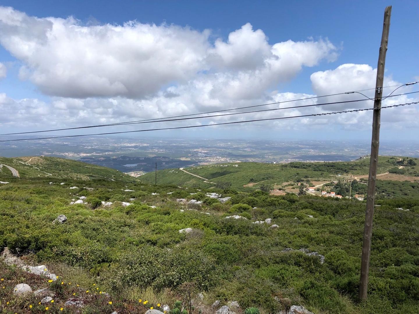
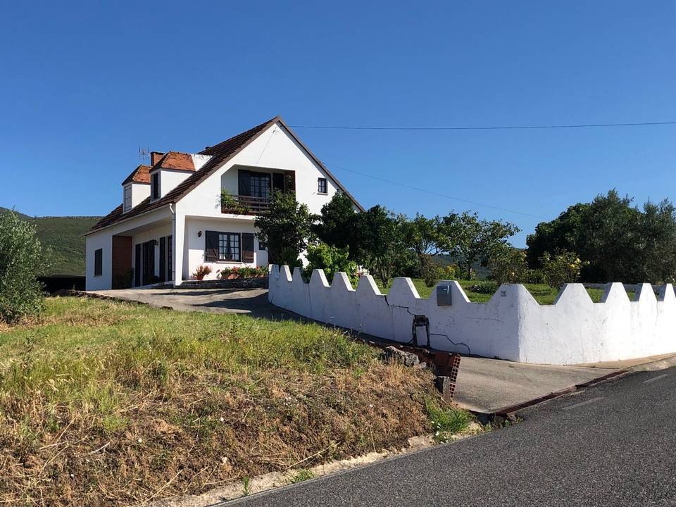
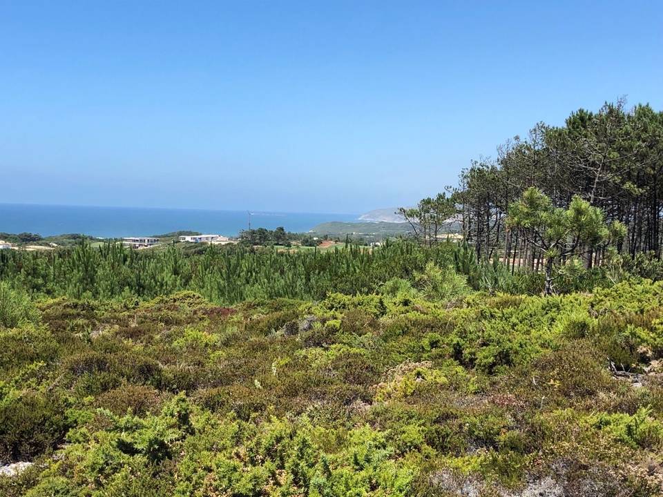
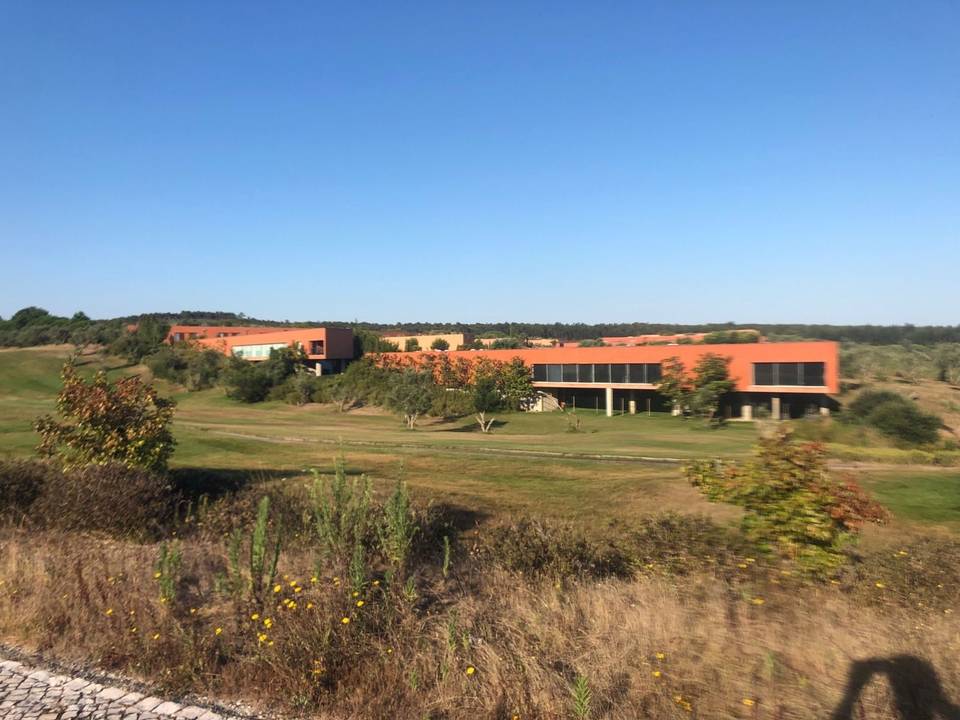
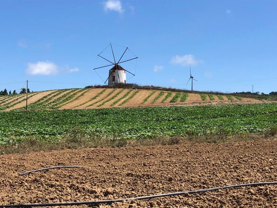
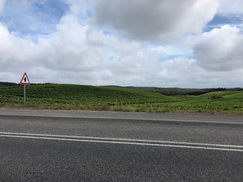
11 photographs from the road

More rides from Atouguia da Baleia