
Cycling in Atouguia da Baleia
14 cycling routes from Atouguia da Baleia, Leiria, Portugal, 33 to 148 km, 1,178 km mapped in all, with up to 1,671 m of climbing in a day. Rolling riding (10 m of climbing per km on average), mostly road routes, 65% of the riding on main roads without a cycle lane. 2 named climbs; the high point is 647 m on Atouguia da Baleia – Alcoentre via Torres Vedras. Best months to ride: May to Sep.
At a glance
- Routes
- 14
- Lengths
- 33–148 km
- Biggest day
- 1,671 m
- Terrain
- Rolling
- Surface
- Mostly paved
- Bike
- Road bike
- Difficulty
- Easy to Hard
- Named climbs
- 2
- Best months
- May to Sep
- Longest gap
- 20 km
- GPX
- Every route
- Atouguia da Baleia – Obidos33 km366 m ↑Easy·Loop·Aug 2021GPX
- Atouguia da Baleia – Lourinha via São Bartolomeu Dos Galegos46 km439 m ↑Moderate·Loop·Aug 2024GPX
- Around Atouguia da Baleia49 km359 m ↑Moderate·Loop·Aug 2024GPX
- Atouguia da Baleia – Caldas da Rainha via Bairro Nossa Senhora da Luz56 km538 m ↑Moderate·Loop·Jul 2021GPX
- Atouguia da Baleia – Lourinha via Ferrel64 km521 m ↑Moderate·Loop·Aug 2024GPX
- Atouguia da Baleia – Caldas da Rainha via Foz Do Arelho65 km534 m ↑Moderate·Loop·Aug 2024GPX
- Atouguia da Baleia to Lourinha80 km691 m ↑Hard·One-way·Aug 2024GPX
- Atouguia da Baleia – Torres Vedras via Roliça86 km746 m ↑Hard·Loop·Jul 2023GPX
- Atouguia da Baleia – Benedita92 km913 m ↑Hard·Loop·Jul 2021GPX
- Atouguia da Baleia – Torres Vedras via Reguengo Grande92 km758 m ↑Hard·Loop·Jul 2023GPX
- Atouguia da Baleia – Rio Maior109 km946 m ↑Hard·Loop·Aug 2024GPX
- Atouguia da Baleia – Alcanede124 km1,363 m ↑Hard·Loop·Jul 2021GPX
- Atouguia da Baleia – Alcoentre via Campelos135 km1,446 m ↑Hard·Loop·Jul 2021GPX
- Atouguia da Baleia – Alcoentre via Torres Vedras148 km1,671 m ↑Hard·Loop·Aug 2021GPX
Know before you go
Added up from the recorded routes and OpenStreetMap; nothing estimated.
- Surface
- Paved almost throughout — 43 km of gravel or unpaved road across the routes.
- Roads
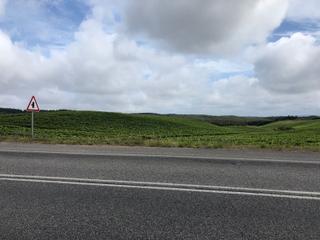
- 65% of the riding on main roads without a cycle lane · 8 km on cycle paths or lanes.
- High point
- 647 m on Atouguia da Baleia – Alcoentre via Torres Vedras.
- Day trips
- 1 route heads for bigger hills elsewhere — up to 538 m on Atouguia da Baleia – Alcoentre via Campelos (kept out of the other facts here).
- Climbs
- 2 named climbs.
- Bail-outs
- A railway station or ferry within reach on 10 routes.
- Ridden
- Jul to Aug, 17–31 °C recorded.
Cycling guide to Atouguia da Baleia
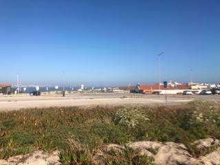
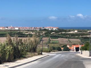
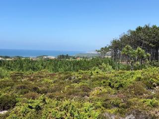
Cycling from Atouguia da Baleia provides diverse routes ranging from shorter loops of about 33 km to longer challenges up to 148 km. These routes traverse multiple localities including Peniche, Caldas da Rainha, Lourinhã, and Torres Vedras. Riders can tackle climbs gaining between 277 m and 1671 m, experiencing gradients up to 13.7% on some ascents. The routes feature a high proportion of paved roads, generally above 90%, with some sections of gravel or unpaved surfaces up to 8%. Several loops pass through or near coastal places, while others extend inland towards higher elevations reaching up to 647 m. Multiple railway stations are available near routes, facilitating accessible start or finish points. Main roads without cycle lanes range from 20 to over 100 km per route, with limited cycle path segments. The longest service-free stretches vary between approximately 8 and 12 km.
More on best time to ride, terrain
Best time to ride
June to August with temperatures from 17°C to 30°C recorded in July and August, suitable for riding during summer months.
Terrain
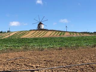
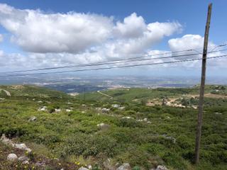
Terrain varies from moderate hills to more challenging climbs with gradients averaging 2.3% to 7.6%, maxing out at 13.7% on the highest climb. Elevations reach between 83 m and 647 m above sea level. Most climbs are several kilometres long, providing steady ascents rather than steep sprints.