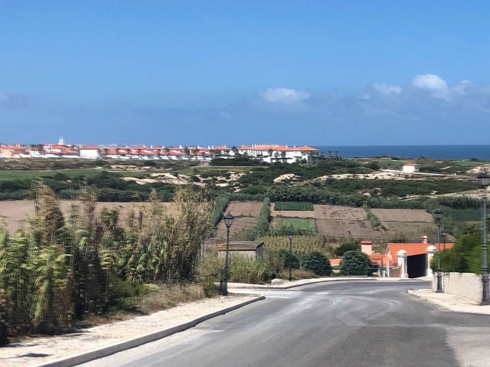
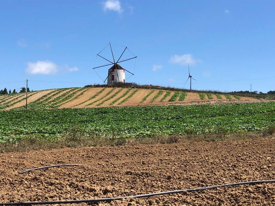
Road · Portugal
Around Atouguia da Baleia
A rolling 49 km road cycling loop from Atouguia da Baleia, Leiria through Porto de Lobos, Geraldes and São Bernardino, with 359 m of climbing. Most of it (28 km) is on main roads without a cycle lane, 1.7 km where the limit is 80 km/h or more.
At a glance
- Best for
- Rolling day rides for confident riders at ease in traffic
- Distance
- 48.8 km
- Elevation gain
- 359 m
- Riding time
- 2–2½ hours
- Difficulty
- Moderate
- Bike
- Road bike
- Surface
- Paved
- Traffic
- Mostly main roads
- Food & water
- Regular
- Best months
- May to Sep
- Navigation
- GPX download
- Start and finish
- Atouguia da Baleia
Map and elevation profile
Elevation profile
- 359 m
- 49 km
Route description
- Atouguia da Baleia
- Porto de Lobos
- Geraldes
- São Bernardino
- Casal do Miras
- Casal Moinho
- Peniche
- Casais do Baleal
- Coimbrã
- Atouguia da Baleia
This 48.8 km loop starts and finishes in Atouguia da Baleia in the Leiria region. The route passes through Porto de Lobos (12.7 km), Peniche (28.3 km), and Ferrel (34 km) among other places. The highest point reaches 127 m at 41.9 km, while the lowest is 3 m at 28.1 km. The first half includes 56% of the total climbing.
The road surface is mostly paved (98%) with a small 2% of gravel or unpaved sections. The route mainly follows main roads (53%), including named roads EN 114 for 10.8 km and EM 603 for 8.3 km, with 28 km on main roads lacking cycle lanes and 1.7 km on fast roads (80 km/h+). There are also minor roads, quiet streets, a cycle path, track, and paths.
Two climbs arise near the end: a 2.6 km climb from 37.3 km with 64 m of ascent (max gradient 4.5%) and a 1.8 km climb starting at 40.1 km gaining 43 m (max 2.9%). Cafés and shops are available near several points including Peniche and Ferrel, but there is an 8.2 km stretch without a café, shop or water between 12.8 and 21 km. Peniche at 28.3 km also offers a ferry and can serve as a bailout point.
Highlights
- Peniche at 28.3 km with ferry and shops
- Ferrel at 34 km with cafés
- Two climbs near the end with max gradients 4.5% and 2.9%
- Longest descent 2.7 km dropping 47 m from 22.2 km
Along the route
Places passed
Climbs
| Climb | Starts at | On this ride | Top on this ride |
|---|---|---|---|
| Unnamed climb | 37.3 km | 2.6 km · 64 m · 2.5 % · max 4.5 % | 83 m |
| Unnamed climb | 40.1 km | 1.8 km · 43 m · 2.4 % · max 2.9 % | 127 m |
Traffic, surface and gradient
This is not a cycle-track route: 57% is on main roads without a cycle lane, 1.7 km of it where the limit is 80 km/h or more. Riders should be comfortable sharing the road with faster traffic.
- Roads
- 53% main road · 28% minor road · 9% quiet street · 5% major road · 5% other roads and tracks
- Main roads
- 28 km on main roads without a cycle lane — likely busier
- Fast roads
- 1.7 km on roads with a limit of 80 km/h or more
- Cycle paths
- 1.1 km on cycle paths or roads with a cycle lane
- Main roads used
- EN 114 (11 km), EM 603 (8 km), EM 578 (4 km), CM 1404 (4 km)
- Surface
- Paved: 98% of the route is mapped as paved, 2% as unpaved.
- Gradient
- 24% climbing · 24% descending · 51% flat
- Longest descent
- 2.7 km from 22.2 km, dropping 47 m
Food, water and services
No stretch is longer than 15 km without a café, shop or water. Along the route: 48 cafés and restaurants, 10 shops, 2 water points, 4 petrol stations, 1 public toilet and 1 bike shop.
Food, water and shops in ride order
- 2.2 kmFonte dos Cabreiros · spring · 180 m off route
- 6.3 kmTriBeCa · restaurant · 50 m off route
- 6.3 kmMeu Super · supermarket · 340 m off route
- 11.2 kmSbikeShop · bike shop · 180 m off route
- 11.7 kmForno da Vila · bakery · 80 m off route
- 12.8 kmIntermarché · petrol station · 50 m off route
- 17.5 kmSanta Luzia · pharmacy · 40 m off route
- 21 kmToilets · 70 m off route
- 21.6 kmCafé · 40 m off route
- 21.6 kmConvenience store · on the route
- 27.7 kmAmanhecer · café · 90 m off route
- 27.7 kmBP · petrol station · 40 m off route
- 32.1 kmShower · drinking water · 100 m off route
- 32.4 kmAmanhecer - Super Lagide · supermarket · 30 m off route
- 33.9 kmPasteleria Ferreleja · café · 30 m off route
- 41.5 kmMoeve · petrol station · on the route
- 42.2 kmA Serrana · café · 130 m off route
- 42.2 kmMarket · on the route
Need to bail out?
- 28.3 km — Peniche (ferry), 1.2 km off route
Worth a stop
- 11 km — Parque de merendas (picnic site)
- 32.1 km — Prainha Surf Point (attraction)
- 37.1 km — Castelo de Atouguia da Baleia (castle)
- 43 km — Parque de Merendas Serra D'El Rei (picnic site)
Know before you go
- 8.2 km without café, shop or water between 12.8 and 21 km
- 28 km on main roads without a cycle lane
- 1.7 km on roads with 80 km/h+ speed limit
- 0.1 km with gradient over 10% near 38 km