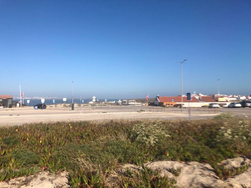
Road · Portugal
Atouguia da Baleia – Caldas da Rainha via Foz Do Arelho
A hilly 65 km road cycling loop from Atouguia da Baleia, Leiria through Casais do Moinho da Praia, Trás do Outeiro and Nadadouro, with 534 m of climbing. Most of it (39 km) is on main roads without a cycle lane, 1.2 km where the limit is 80 km/h or more.
At a glance
- Best for
- Short, climbing-heavy rides for confident riders at ease in traffic
- Distance
- 65.1 km
- Elevation gain
- 534 m
- Riding time
- 2½–3½ hours
- Difficulty
- Moderate
- Bike
- Road bike
- Surface
- Mostly paved
- Traffic
- Mostly main roads
- Food & water
- Regular
- Best months
- May to Sep
- Navigation
- GPX download
- Start and finish
- Atouguia da Baleia
Map and elevation profile
Elevation profile
- 534 m
- 65 km
Route description
- Atouguia da Baleia
- Casais do Moinho da Praia
- Trás do Outeiro
- Nadadouro
- Alto
- Santo Onofre
- Casal do Zambujeiro
- A-da-Gorda
- Casal da Arruda
- Atouguia da Baleia
The route starts from Atouguia da Baleia and heads through Casais do Moinho da Praia, Santa Rufina, Carregal and Covões in the first 20 km. The initial climb begins at 2.4 km, rising 65 m over 2.1 km with an average gradient of 3.1%. The highest elevation on this part is 80 m. The road mix includes 38.8 km of main roads, mostly without cycle lanes. From km 21.1 the route passes Nadadouro and continues towards Foz do Arelho at 26.7 km, where a 59 m climb over 1.7 km begins, maxing at 6.2%.
Highlights
- Peak near the route: Cabeço da Serra (108 m) at km 6.5
- Longest climb: 3.1 km at 3.1% starting km 53
- Passes towns: Caldas da Rainha, Óbidos, Gaeiras
- Route includes named roads EN 114, EM 603, EN 360, EN 8
Along the route
Places passed
Climbs
| Climb | Starts at | On this ride | Top on this ride |
|---|---|---|---|
| Unnamed climb | 2.4 km | 2.1 km · 65 m · 3.1 % · max 4.5 % | 80 m |
| Unnamed climb | 18.2 km | 1.6 km · 43 m · 2.7 % · max 5.1 % | 52 m |
| Unnamed climb | 27.1 km | 1.7 km · 59 m · 3.4 % · max 6.2 % | 69 m |
| Unnamed climb | 53 km | 3.1 km · 98 m · 3.1 % · max 4.8 % | 128 m |
Traffic, surface and gradient
This is not a cycle-track route: 60% is on main roads without a cycle lane, 1.2 km of it where the limit is 80 km/h or more. Riders should be comfortable sharing the road with faster traffic.
- Roads
- 61% main road · 19% minor road · 10% quiet street · 6% path · 4% other roads and tracks
- Main roads
- 39 km on main roads without a cycle lane — likely busier
- Fast roads
- 1.2 km on roads with a limit of 80 km/h or more
- Main roads used
- EN 114 (8 km), EM 603 (8 km), EN 360 (7 km), EN 8 (6 km)
- Surface
- Predominantly paved: 93% is mapped as paved, 4% as unpaved or gravel and 3% has no surface data.
- Gradient
- 21% climbing · 20% descending · 59% flat
- Steep sections
- 0.9 km over 5%
- Longest descent
- 2.7 km from 42 km, dropping 40 m
Food, water and services
No stretch is longer than 15 km without a café, shop or water. Along the route: 112 cafés and restaurants, 43 shops, 14 water points, 9 petrol stations, 13 public toilets and 1 bike shop.
Food, water and shops in ride order
- 9 kmO Covão dos Musaranhos · café · 80 m off route
- 15 kmCafeteria · café · 180 m off route
- 21.1 kmWater tap · 140 m off route
- 26.7 kmCentro de Saúde da Foz do Arelho · clinic · 80 m off route
- 27.3 kmToilets · 70 m off route
- 31.1 kmBike rental · 270 m off route
- 32.4 kmDrinking water · 220 m off route
- 32.5 kmToilets · 200 m off route
- 37.6 kmToilets · 260 m off route
- 38.2 kmAuchan Supermercado · supermarket · 40 m off route
- 41 kmGalp · petrol station · on the route
- 45 kmOs Filipes · café · 60 m off route
- 46 kmFarmácia Oliveira · pharmacy · 40 m off route
- 46.4 kmPrio · petrol station · on the route
- 48.3 kmSpring · 250 m off route
- 52.2 kmConvenience store · 70 m off route
- 57.4 kmMeu Super · supermarket · 30 m off route
- 57.6 kmA Serrana · café · 60 m off route
Need to bail out?
- 39.2 km — Caldas da Rainha (station), 800 m off route
- 48.6 km — Dagorda - Peniche (halt), 90 m off route
Worth a stop
- 6.5 km — Cabeço da Serra (peak, 108 m)
- 45.8 km — Miradouro da Porta da Vila (viewpoint)
- 50.7 km — Baloiço na Serra da Amoreira (attraction)
- 58.5 km — Parque de Merendas Serra D'El Rei (picnic site)
Know before you go
- 39 km on main roads without cycle lanes
- 1.2 km on roads with speed limits of 80 km/h or more
- 9 km longest stretch without café, shop or water from start
- Short gravel or unpaved sections totalling 4% of route