Cyclists.com

Atouguia da Baleia – Benedita

Atouguia da Baleia, Leiria, PortugalRoad

92 km
Distance
913 m
Elevation gain
Hard
Difficulty
Paved
Surface
Download GPXMap
On the road: Atouguia da Baleia – Benedita

Elevation profile

Total ascent
913 m
Distance
92 km
050100150200250m0 km2040608092 km224 m · highest, at 47.1 kmStartFinish · back at the start

Route overview

Suitable for cyclists comfortable with medium distance and moderate climbing.

Loop ride in Leiria, Portugal from Atouguia da Baleia, 92 km with 913 m climbing.

The route starts and finishes in Atouguia da Baleia, passing through Arelho at 13.5 km, Benedita at 43.3 km and Santo Onofre at 66.1 km. It is a 92.2 km loop with 913 m of elevation gain. Early climbs include a 1.5 km section from 3 km averaging 3.3% gradient, then a 2.6 km climb from 18.3 km averaging 3.7%. A longer 2.7 km climb starts at 28.2 km with a 4.3% average, followed by a shorter 1.7 km climb at 31.5 km with 3.7% average gradient and a steepest section of 9.8%.

Highlights

  • Climb at 28 km gaining 116 m
  • Pass through Benedita at 43 km
  • Climb at 31.5 km with max 9.8%
  • Peak near road: Arroteias 116 m at 4.4 km

Along the route

Measured from the recorded track and OpenStreetMap.

Places passed

  1. Arelho 13.5 km
  2. Carregal 14.1 km
  3. Trás do Outeiro 15.2 km
  4. Salgueirinha 17.4 km
  5. Ribeira dos Ameais 28.8 km
  6. Paraíso 29.5 km
  7. Carril 30.8 km
  8. Ramalhosa 31.8 km
  9. Bairro da Figueira 33.1 km
  10. Ribafria 33.8 km
  11. Algarão 34.6 km
  12. Candeeiros 36.7 km
  13. Casal do Gregório 37.1 km
  14. Outeiro 37.5 km
  15. Lagoa do Frei João 38.4 km
  16. Casal do Carvalho 40.7 km
  17. Venda da Rega 41.1 km
  18. Benedita 43.3 km
  19. Casal da Estrada 44.3 km
  20. Casal Leirião 44.6 km
  21. Casal da Marinha 46 km
  22. Casal das Penas 46 km
  23. Casal da Azenha 46.4 km
  24. Granja Nova 47.1 km
  25. Outeiros 47.2 km
  26. Relvas 47.6 km
  27. Mata do Porto Mouro 48.7 km
  28. Vale Serrão 51.5 km
  29. Laranjeira 51.6 km
  30. Zambujal 52.3 km
  31. Casal dos Carvalhos 53 km
  32. Malasia 54.2 km
  33. Imaginário 57.1 km
  34. Crocha 58.5 km
  35. Nossa Senhora do Pópulo 58.7 km
  36. Caldas da Rainha 60.3 km
  37. Casal do Brejo 61.8 km
  38. Santo Onofre 66.1 km
  39. Bairro Nossa Senhora da Luz 70.1 km
  40. Santa Rufina 72.7 km
  41. Casais do Moinho da Praia 84.5 km

Climbs

ClimbStarts atLengthGainAverageMaxTop
3 km1.5 km50 m3.3 %5.3 %96 m
18.3 km2.6 km97 m3.7 %7.4 %127 m
28.2 km2.7 km116 m4.3 %6.6 %177 m
31.5 km1.7 km62 m3.7 %9.8 %218 m
56.2 km1.8 km52 m3 %5.4 %126 m
79.2 km1.7 km66 m3.8 %6.7 %95 m

High point 223 m at 44.3 km; low point 2 m. Passes beneath Arroteias.

What this ride is like

Measured from OpenStreetMap along the track and the elevation profile.

Roads
41% main road · 25% minor road · 16% quiet street · 10% path
Main roads
38.4 km on main roads without a cycle lane — likely busier
Main roads used
EM 575 (7 km), EM 567-1 (6 km), EN 114-1 (4 km), EM 603 (4 km)
Surface
Paved throughout
Gradient
21% climbing · 23% descending · 57% flat
Steep sections
4.9 km over 5% · 0.4 km over 8% · steepest 500 m averages 8% at 34.4 km
Longest descent
3 km from 61.6 km, dropping 88 m

Along the way

Within a few hundred metres of the track, from OpenStreetMap. Opening hours change — treat this as where to look, not a promise.

Food, water and shops

  1. 7 kmRestaurante ClubHouse Bom Sucesso Resort · restaurant · 200 m off route
  2. 13.7 kmCafeteria · café · 40 m off route
  3. 20.4 kmToilets · 40 m off route
  4. 20.5 kmDrinking water · 70 m off route
  5. 20.5 kmDrogaria Nazaré · pharmacy · on the route
  6. 33.7 kmCafé · on the route
  7. 35.3 kmNeomáquina · supermarket · 140 m off route
  8. 37.9 kmCafé Tagarela Bar · café · 310 m off route
  9. 43 kmContinente Bom Dia · supermarket · on the route
  10. 43.3 kmToilets · 90 m off route
  11. 43.8 kmFarmácia Alves · pharmacy · 60 m off route
  12. 48.7 kmCafé · 80 m off route
  13. 60.3 kmTBAC - The Bread and Coffee · café · on the route
  14. 60.3 kmToilets · 80 m off route
  15. 61.1 kmSuperadrenalina · bike shop · 60 m off route
  16. 66.8 kmToilets · 260 m off route
  17. 67.5 kmE.Leclerc · petrol station · 40 m off route
  18. 68.4 kmBuddha Garden Café · café · 70 m off route

Need to bail out?

  • 60.4 kmCaldas da Rainha (station), 370 m off route

Whether bikes are carried depends on the service — check before relying on it.

Worth a stop

  • 20.2 kmRainha Dona Leonor (attraction)
  • 60.4 kmPraça de Touros (attraction)
  • 81 kmCabeço da Serra (peak, 108 m)

Practical information

Surface
Paved
Route shape
Loop
Riding time
4–5½ hours riding
Season
July with temperatures at 26°C.

Know before you go

  • 10.1 km longest stretch without café, shop or water from km 68.4 to 78.5
  • 38.4 km on main roads without a cycle lane
  • 8% steepest 500m at 34.4 km
  • 0.7 km gravel or unpaved surface

Routes are for inspiration. Roads, surfaces and conditions change — check locally and ride within your limits.

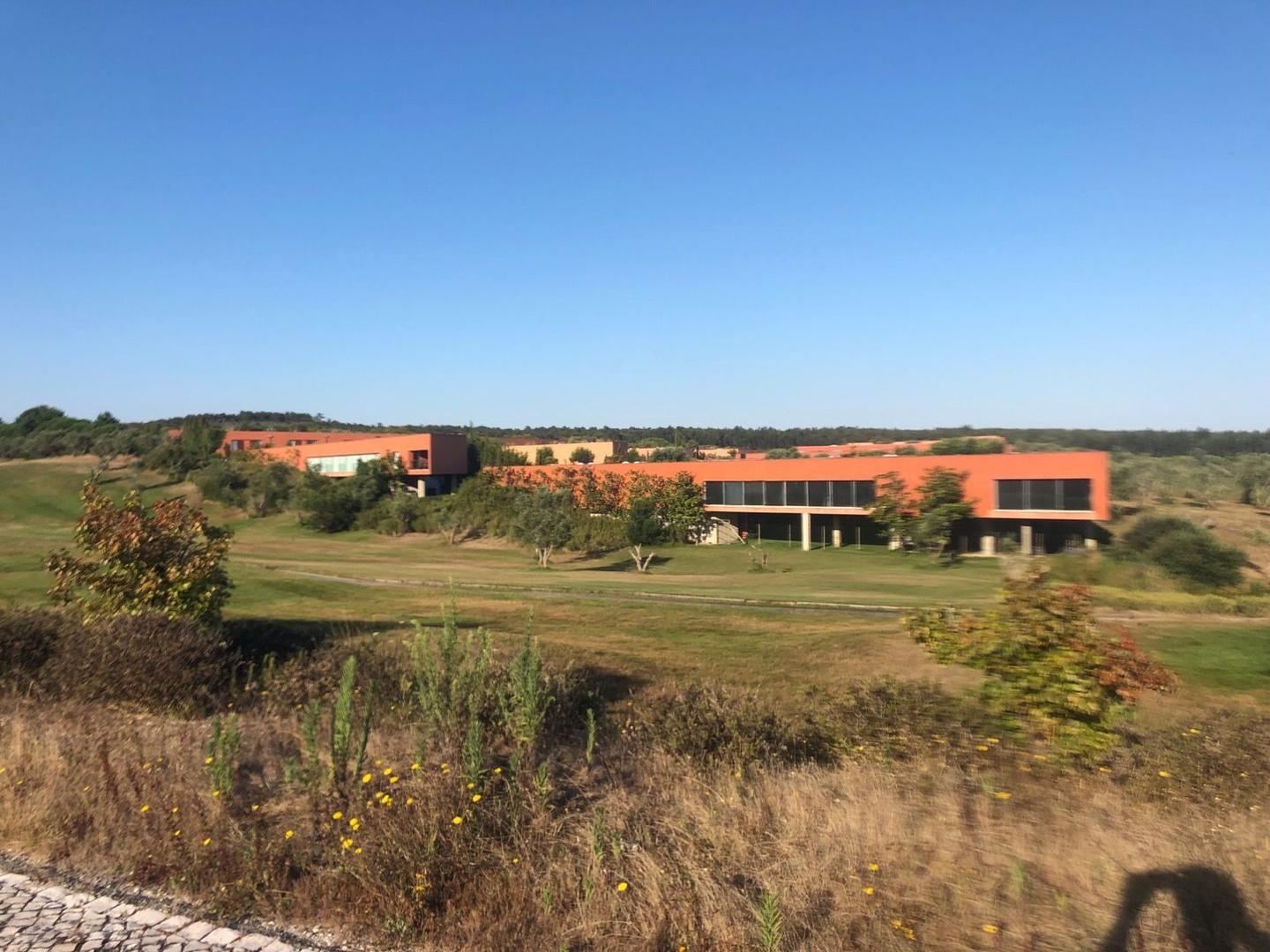
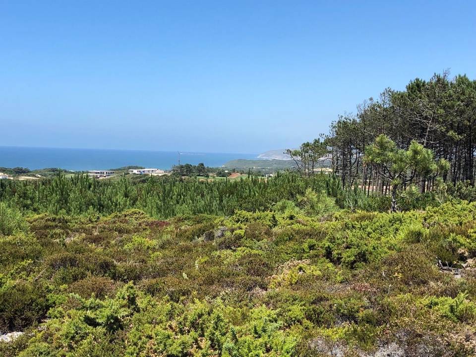
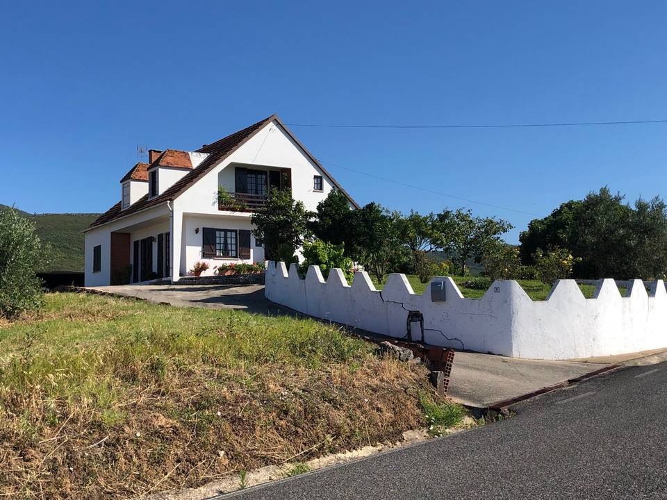
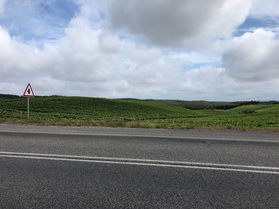
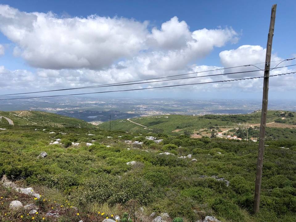
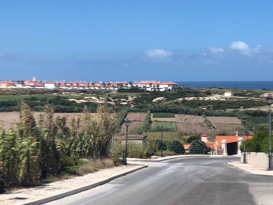
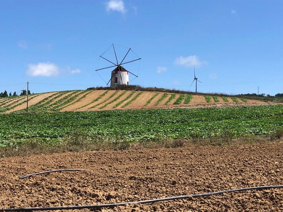
5 photographs from the road

More rides from Atouguia da Baleia