Cyclists.com

Atouguia da Baleia – Torres Vedras via Reguengo Grande

Atouguia da Baleia, Leiria, PortugalRoad

92 km
Distance
758 m
Elevation gain
Hard
Difficulty
Paved
Surface
Download GPXMap
On the road: Atouguia da Baleia – Torres Vedras via Reguengo Grande

Elevation profile

Total ascent
758 m
Distance
92 km
050100150200m0 km2040608091 km156 m · highest, at 72.7 kmStartFinish · back at the start

Route overview

Suitable for riders comfortable with 91.5 km distance and moderate climbing of 758 m.

91.5km loop from Atouguia da Baleia through Torres Vedras and Bombarral in Leiria, Portugal, with 758m climbing.

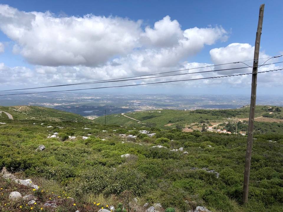
Starting at Atouguia da Baleia, the route heads east passing Serra d'El-Rei at 6.3km, then climbs steadily from 10.7km to 12.6km gaining 58m at an average gradient of 3%, topping at 110m. It continues through Ribafria, Bufarda and Alto Foz, then featuring a longer climb from 22.1km to 25.4km rising 83m at 2.5%, reaching 99m height. The ride proceeds through several villages including Lourinhã, Marteleira and Vale de Azenha before hitting Torres Vedras at 38.6km. A steadier climb runs from 33.4km to 35.2km, gaining 73m at 4.1% maxing at 7.1%, topping near Bombarda peak at 151m (35.5km). Bikes cross main roads extensively, with 68.9km on main roads without cycle lanes; 6.6km has posted speed limits over 80 km/h. After Bombarral (60.7km), the route includes climbs at 62.6km (2.6km length, 79m gain, 3.1%), 66.4km (1.9km, 50m, 2.7%), and a final climb from 80.2km to 82.9km with 65m gain at 2.5%. Surfaces are mainly paved (95%) with small gravel sections (4%). Food and drink options and water are frequent, but there is an 11.9km stretch without café, shop or water from 31.4km to 43.3km. Bailout points include Ramalhal, Outeiro, and Bombarral stations.

Highlights

  • Bombarda peak at 151m near 35.5km
  • Longest descent 3.5km dropping 97m
  • Climb at 33.4km with 7.1% max gradient
  • Picnic site Parque de Merendas Serra D'El Rei at 5.4km

Along the route

Measured from the recorded track and OpenStreetMap.

Places passed

  1. Serra d'El-Rei 6.3 km
  2. Ribafria 11.2 km
  3. Bufarda 12.9 km
  4. Alto Veríssimo 13.5 km
  5. Alto Foz 14 km
  6. Casal da Murta 16.7 km
  7. Seixal 18.3 km
  8. Lourinhã 20.9 km
  9. Marteleira 25.2 km
  10. Casais do Araújo 25.5 km
  11. Vale de Azenha 37.1 km
  12. Torres Vedras 38.6 km
  13. Ameal 43.3 km
  14. Ramalhal 44.2 km
  15. Casais Larana 50.1 km
  16. Vale Cruzes 50.4 km
  17. Outeiro da Cabeça 51.4 km
  18. Casais do Camarão 55.8 km
  19. Vale do Pato 58.5 km
  20. Cintrão 59.4 km
  21. Bombarral 60.7 km
  22. Silveira 63.6 km
  23. Azambujeira dos Carros 65.3 km
  24. Reguengo Grande 69.1 km
  25. Fontelas 70.3 km
  26. Reguengo Pequeno 72.1 km
  27. Moledo 73 km
  28. Feteira 73.2 km
  29. São Bartolomeu dos Galegos 75.1 km
  30. Paço 78.1 km
  31. Bolhos 79.1 km
  32. Casal Faísca 81.1 km

Climbs

ClimbStarts atLengthGainAverageMaxTop
10.7 km1.9 km58 m3 %5.7 %110 m
22.1 km3.3 km83 m2.5 %3.4 %99 m
33.4 km1.8 km73 m4.1 %7.1 %100 m
62.6 km2.6 km79 m3.1 %5.4 %116 m
66.4 km1.9 km50 m2.7 %6.1 %134 m
80.2 km2.7 km65 m2.5 %4.9 %124 m

High point 157 m at 70.8 km; low point 7 m. Passes beneath Bombarda.

What this ride is like

Measured from OpenStreetMap along the track and the elevation profile.

Roads
77% main road · 9% quiet street · 9% minor road · 3% track
Main roads
68.9 km on main roads without a cycle lane — likely busier
Fast roads
6.6 km on roads with a limit of 80 km/h or more
Main roads used
EN 8 (19 km), EN 8-2 (15 km), EN 247-1 (11 km), EM 603 (8 km)
Surface
Paved throughout
Gradient
23% climbing · 24% descending · 53% flat
Steep sections
1.9 km over 5% · steepest 500 m averages 6% at 35.1 km
Longest descent
3.5 km from 14.6 km, dropping 97 m

Along the way

Within a few hundred metres of the track, from OpenStreetMap. Opening hours change — treat this as where to look, not a promise.

Food, water and shops

  1. 6.3 kmA Serrana · café · 60 m off route
  2. 6.3 kmFarmácia Serra · pharmacy · 90 m off route
  3. 12.8 kmNellus · patisserie · 80 m off route
  4. 20 kmToilets · 50 m off route
  5. 21.4 kmDouble AM · café · 40 m off route
  6. 21.9 kmAldi · supermarket · 90 m off route
  7. 29.8 kmOs Severianos · restaurant · 70 m off route
  8. 31.4 kmConvenience store · 30 m off route
  9. 38.4 kmBicicletas Agostinhas Estação 12 · bike rental · 470 m off route
  10. 44.2 kmEsplanada do Rossio · café · 110 m off route
  11. 45.5 kmAlves Bandeira · petrol station · on the route
  12. 50.1 kmDrinking water · 30 m off route
  13. 60.4 kmLidl · supermarket · 40 m off route
  14. 60.9 kmPastelaria Biju · café · 40 m off route
  15. 68.9 kmAmanhecer - Minimercado Galvão · convenience store · 150 m off route
  16. 69.1 kmDrinking water · 180 m off route
  17. 69.8 kmToilets · 40 m off route
  18. 83.1 kmTriBeCa · restaurant · 40 m off route

Need to bail out?

  • 44.9 kmRamalhal (station), 1.5 km off route
  • 51.6 kmOuteiro (station), 440 m off route
  • 60.4 kmBombarral (station), 140 m off route

Whether bikes are carried depends on the service — check before relying on it.

Worth a stop

  • 5.4 kmParque de Merendas Serra D'El Rei (picnic site)
  • 20.7 kmBaloiço adaptado da Lourinhã (attraction)
  • 62.6 kmParque da Caniceira (picnic site)
  • 67.3 kmGruta Nova da Columbeira (archaeological site)
  • 76.4 kmCasal do Sousa (archaeological site)

Practical information

Surface
Paved
Route shape
Loop
Riding time
3–4 hours riding
Season
July and August, temperatures recorded between 19°C and 31°C.

Know before you go

  • 11.9 km without café, shop or water between 31.4 km and 43.3 km
  • 68.9 km on main roads without cycle lanes
  • 6.6 km on roads with speed limits 80 km/h or more
  • 1.9 km total over 5% gradient

Routes are for inspiration. Roads, surfaces and conditions change — check locally and ride within your limits.

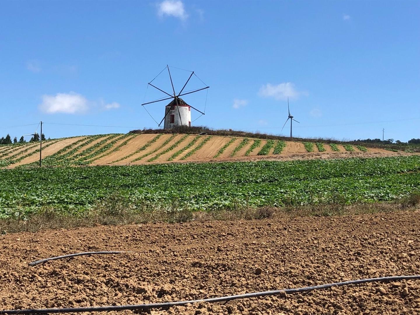
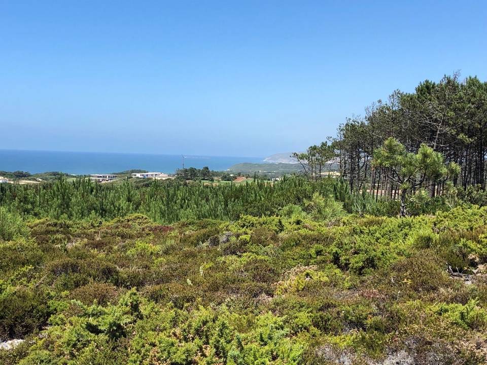
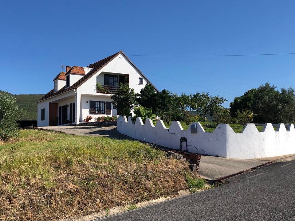
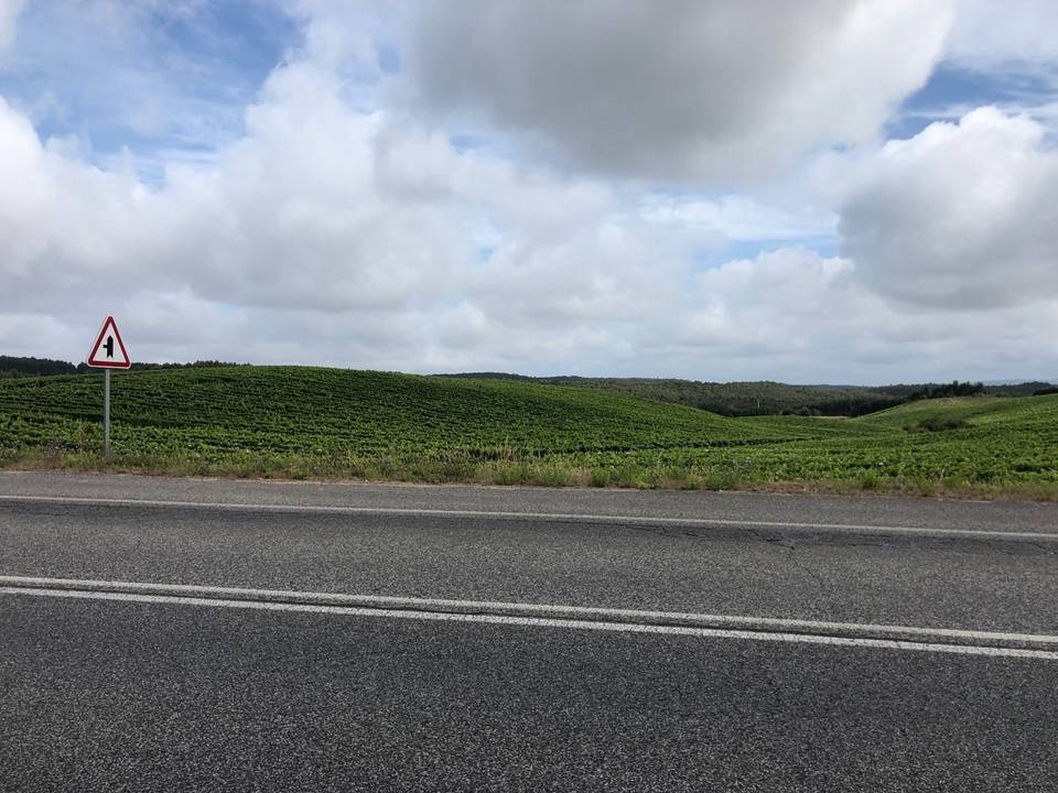
11 photographs from the road

More rides from Atouguia da Baleia