Cyclists.com

Atouguia da Baleia – Caldas da Rainha via Bairro Nossa Senhora da Luz

Atouguia da Baleia, Leiria, PortugalRoad

56 km
Distance
538 m
Elevation gain
Moderate
Difficulty
Paved
Surface
Download GPXMap
On the road: Atouguia da Baleia – Caldas da Rainha via Bairro Nossa Senhora da Luz

Elevation profile

Total ascent
538 m
Distance
56 km
020406080100m0 km204056 km96 m · highest, at 48.7 kmStartFinish · back at the start

Route overview

Suitable for riders comfortable with 538 m climbing over 55.7 km on mixed road surfaces.

55.7 km loop route in Leiria, Portugal, starting and finishing at Atouguia da Baleia with 538 m of climbing.

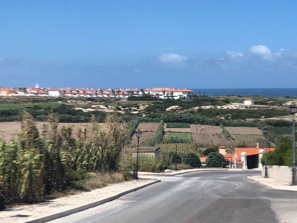
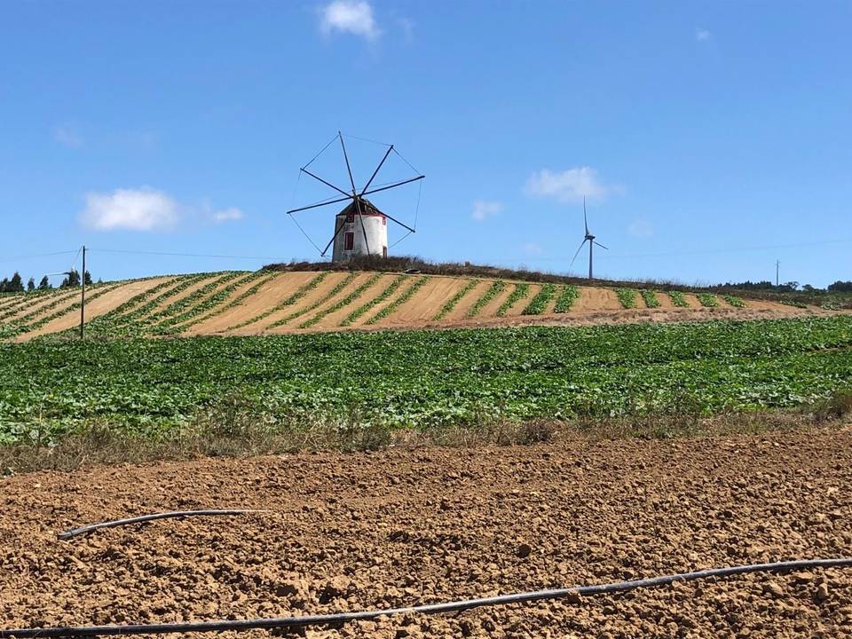
This 55.7 km loop begins at Atouguia da Baleia and heads towards Carregal at 15.5 km, then passes Bairro Nossa Senhora da Luz, Salgueirinha and reaches Caldas da Rainha at 21.3 km. From Caldas da Rainha, the route continues through Casal do Brejo, Casal dos Chãos, Covões and Nadadouro at 30.8 km. It then proceeds past Casais da Fonte, Casal Novo, Trás do Outeiro, Santa Rufina before reaching Casais do Moinho da Praia at 51 km and returning to Atouguia da Baleia. The route has a total elevation gain of 538 m. Key climbs include an early ascent starting at 2.6 km gaining 66 m over 2.2 km, a moderate climb beginning at 32.2 km gaining 43 m over 1.7 km, and a final steeper climb starting at 45.7 km gaining 69 m over 1.6 km, with a maximum gradient recorded at 6.8%. The highest point is 96 m at 47.4 km. Almost half the climbing occurs in the first half, with the longest descent of 1.8 km from 50.8 km. The surface is mainly paved (92%) with some gravel or unpaved sections (5%) and a small part unmapped (2%). The route comprises 49% main roads, 24% minor roads, and smaller portions of quiet streets, paths, and tracks. Notably, 26.6 km are on main roads without cycle lanes. Cafés, shops, water, toilets, bike shops, and fuel are mostly available only after 19.6 km, with the longest stretch without amenities at the start lasting 19.6 km. Bailout is possible at Caldas da Rainha station at 22.8 km.

Highlights

  • Climb to 96 m near km 47
  • Passes Caldas da Rainha at 21.3 km
  • 55.7 km loop with 538 m climbing
  • Three notable climbs along the route

Along the route

Measured from the recorded track and OpenStreetMap.

Places passed

  1. Carregal 15.5 km
  2. Bairro Nossa Senhora da Luz 17.8 km
  3. Salgueirinha 18.8 km
  4. Caldas da Rainha 21.3 km
  5. Casal do Brejo 24.4 km
  6. Casal dos Chãos 29.7 km
  7. Covões 29.8 km
  8. Nadadouro 30.8 km
  9. Casais da Fonte 32.6 km
  10. Casal Novo 32.8 km
  11. Trás do Outeiro 37.5 km
  12. Santa Rufina 39.1 km
  13. Casais do Moinho da Praia 51 km

Climbs

ClimbStarts atLengthGainAverageMaxTop
2.6 km2.2 km66 m3 %4.4 %80 m
32.2 km1.7 km43 m2.7 %4 %62 m
45.7 km1.6 km69 m4.3 %6.8 %96 m

High point 96 m at 47.4 km; low point 2 m.

What this ride is like

Measured from OpenStreetMap along the track and the elevation profile.

Roads
49% main road · 24% minor road · 12% quiet street · 11% path
Main roads
26.6 km on main roads without a cycle lane — likely busier
Main roads used
EM 603 (10 km), EM 575 (9 km), EM 573 (6 km), CM 1408 (3 km)
Surface
Paved throughout
Gradient
27% climbing · 25% descending · 47% flat
Steep sections
1.7 km over 5% · steepest 500 m averages 6.7% at 47.8 km

Along the way

Within a few hundred metres of the track, from OpenStreetMap. Opening hours change — treat this as where to look, not a promise.

Longest stretch without a café, shop or water: 20 km, from 0 km to 20 km.

Food, water and shops

  1. 19.7 kmBuddha Garden Café · café · on the route
  2. 21.3 kmWater tap · 60 m off route
  3. 21.3 kmToilets · 120 m off route
  4. 22 kmPingo Doce · supermarket · 40 m off route
  5. 22.3 kmLaboratório Analises Beatriz Godinho · hospital · on the route
  6. 23.1 kmGalp · petrol station · 50 m off route
  7. 23.6 kmSuperadrenalina · bike shop · 30 m off route
  8. 25.9 kmToilets · 70 m off route
  9. 26.3 kmO Buraco · café · 150 m off route
  10. 30.8 kmCafé · 100 m off route
  11. 30.8 kmConvenience store · 110 m off route
  12. 30.8 kmWater tap · 120 m off route
  13. 38.9 kmCafeteria · café · 180 m off route
  14. 45 kmO Covão dos Musaranhos · café · 70 m off route

Need to bail out?

  • 22.8 kmCaldas da Rainha (station), 330 m off route

Whether bikes are carried depends on the service — check before relying on it.

Worth a stop

  • 21.3 kmRainha Dona Leonor (attraction)
  • 47.6 kmCabeço da Serra (peak, 108 m)

Practical information

Surface
Paved
Route shape
Loop
Riding time
2½–3 hours riding
Season
July with temperatures around 19°C.

Know before you go

  • 26.6 km on main roads without cycle lanes
  • Longest stretch without café, shop or water: 19.6 km from start
  • 1.7 km with gradient over 5%
  • Some gravel or unpaved sections (5%)

Routes are for inspiration. Roads, surfaces and conditions change — check locally and ride within your limits.

More rides from Atouguia da Baleia