Cyclists.com

Tweed Cycleway

Biggar, South Lanarkshire, United KingdomRoad

Signed route The waymarked Tweed Cycleway (Scottish Borders Council T), traced from OpenStreetMap and measured against the terrain model; no member has recorded it yet. Ridden it? Add your recording and photos.

117 km
Distance
762 m
Elevation gain
Hard
Difficulty
Paved
Surface
Download GPXMap

Elevation profile

Total ascent
762 m
Distance
117 km
050100150200250300m0 km255075100117 km249 m · highest, at 14.0 kmStartFinish

Route overview

Suitable for riders prepared for a medium distance ride with moderate climbing.

117 km point-to-point ride from Biggar in South Lanarkshire, UK with 762 m climbing following the Tweed Cycleway.

Starting just after Biggar at 0.2 km, the route passes through several places within the first 35 km including Hartree Square, Kilbucho Mains, Broughton, Stobo, Lyne Station and Peebles. The ride includes several climbs: a 1 km climb from 12.7 km gaining 43 m at 4.4%, a 1.5 km climb from 24 km gaining 45 m at 2.9%, and a longer 1.9 km climb from 77.5 km gaining 75 m at 3.9%. The highest point is at 26.3 km at 251 m, near Hunt Hill. The surface is mostly paved (96%) with minor sections of gravel and unmapped surfaces. The roads vary between minor roads (51%), main roads (36%), quiet streets and paths. Main roads without cycle lanes account for 42 km, with 54 km of roads posted at 80 km/h or more.

Highlights

  • Highest point near Hunt Hill at 251 m
  • Biggar start with cafés and shops
  • Scott's View viewpoint at 80.7 km
  • Longest climb 1.9 km at 3.9% from 77.5 km

Along the route

Measured from the recorded track and OpenStreetMap.

Places passed

  1. Hartree Square 2.7 km
  2. Kilbucho Mains 8.8 km
  3. Kilbucho Place 9.1 km
  4. Calzeat 10.9 km
  5. Broughton 11.2 km
  6. Stobo 20.4 km
  7. Lyne Station 24.2 km
  8. Kirkton 27.4 km
  9. Peebles 34.9 km
  10. Cardrona 41.1 km
  11. Old Howford 43.3 km
  12. Traquair 46.1 km
  13. Traquair Mill 46.1 km
  14. Innerleithen 47.8 km
  15. Walkerburn 50.2 km
  16. West Bold 50.8 km
  17. Glenbenna 51.1 km
  18. Peel 59.1 km
  19. Caddonfoot 60.4 km
  20. Fairnilee 63.3 km
  21. The Rink 65.8 km
  22. Boleside 67.9 km
  23. Faldonside Stables 68.1 km
  24. Netherbarns 69.2 km
  25. Bridgend 71.1 km
  26. Tweedbank 71.3 km
  27. Darnick 72.9 km
  28. Gattonside 74.1 km
  29. Melrose 74.7 km
  30. Newstead 76.3 km
  31. Leaderfoot 77.5 km
  32. Redpath 78.4 km
  33. Kirklands 78.4 km
  34. Gledswood 79.1 km
  35. Halidean Mill 80.2 km
  36. Bemersyde 81.4 km
  37. Dryburgh 82.7 km
  38. Clinthill 83.6 km
  39. Mertoun Mill 84.2 km
  40. Clintmains 84.5 km
  41. Whitehouse 87.2 km
  42. Millfield 89.1 km
  43. Greatridgehall 90.3 km
  44. Makerstoun 91.7 km
  45. Manorhill 92.1 km
  46. Makerstoun Lodge 92.3 km
  47. Sucklawridge 93.6 km
  48. Stodrig 94.8 km
  49. Galalaw 96 km
  50. Muserig 96.9 km
  51. Broadloan 98.2 km
  52. Kelso 100.1 km
  53. Wooden Mill 101.9 km
  54. Windywalls 104.5 km
  55. Potsclose 108.3 km
  56. Wark Westcommon 111.5 km
  57. Wark Common Farm 112.6 km

Climbs

ClimbStarts atLengthGainAverageMaxTop
12.7 km1 km43 m4.4 %6.7 %247 m
24 km1.5 km45 m2.9 %5 %221 m
77.5 km1.9 km75 m3.9 %6.6 %175 m
101.6 km2.1 km63 m3.1 %5.3 %99 m
104.2 km2.6 km50 m1.9 %2.8 %153 m

High point 251 m at 26.3 km; low point 29 m. Passes beneath Knowehead Hill, Quarry Hill, Edston Hill.

What this ride is like

Measured from OpenStreetMap along the track and the elevation profile.

Roads
51% minor road · 36% main road · 4% quiet street · 3% path
Main roads
42.4 km on main roads without a cycle lane — likely busier
Fast roads
54 km on roads with a limit of 80 km/h or more
Cycle paths
3.9 km on cycle paths or roads with a cycle lane
Main roads used
B7062 (11 km), B712 (5 km), B6356 (5 km), B6396 (4 km)
Surface
Paved throughout
Gradient
12% climbing · 19% descending · 69% flat
Steep sections
1.4 km over 5% · steepest 500 m averages 13.7% at 0 km
Longest descent
5.9 km from 110.1 km, dropping 111 m

Along the way

Within a few hundred metres of the track, from OpenStreetMap. Opening hours change — treat this as where to look, not a promise.

Longest stretch without a café, shop or water: 24 km, from 75 km to 99 km.

Food, water and shops

  1. 0.2 kmToilets · 100 m off route
  2. 0.4 kmAroma · café · on the route
  3. 0.4 kmGraeme Pharmacy · pharmacy · 100 m off route
  4. 11.2 kmDrinking water · 70 m off route
  5. 11.6 kmLaurel Bank · café · 100 m off route
  6. 34.3 kmGlen Road Stores · convenience store · 130 m off route
  7. 34.9 kmThe Fat Batard · bakery · 270 m off route
  8. 34.9 kmBoots · pharmacy · 310 m off route
  9. 39.8 kmToilets · 110 m off route
  10. 48.3 kmDrinking water · 160 m off route
  11. 68.1 kmWater tap · 50 m off route
  12. 72.1 kmBP MFG Tweedbank Service Station · petrol station · 170 m off route
  13. 74.4 kmCo-op Food · supermarket · 40 m off route
  14. 74.7 kmToilets · 40 m off route
  15. 74.8 kmBoots · pharmacy · 70 m off route
  16. 99.4 kmLady Bennett's Well · spring · 120 m off route
  17. 99.9 kmCo-op Food · supermarket · 120 m off route
  18. 100.2 kmSimon Porteous Cycles · bike shop · on the route

Need to bail out?

  • 71.7 kmTweedbank (station), 80 m off route

Whether bikes are carried depends on the service — check before relying on it.

Worth a stop

  • 0.5 kmBiggar Motte (archaeological site)
  • 40.8 kmCardrona Standing Stone (archaeological site)
  • 74.2 kmAngus Douglas-Hamilton (monument)
  • 77.5 kmTrimontium viewing platform (viewpoint)
  • 80.7 kmScott's View (viewpoint)
  • 90.1 kmSite of Free Church (archaeological site)

At the start

  • The Coffee Spot · café · 160 m
  • Aroma · café · 350 m
  • Townhead Fish & Chips · fast food · 130 m
  • K-Wok · fast food · 160 m
  • Brownlie's · convenience store · 320 m

Stay after this ride

  • Coldstream Holiday Park · campsite · 2.3 km from the finish

Practical information

Surface
Paved
Route shape
Point to point
Riding time
8 h 23 min
Best months
Jun to Aug — daily highs of 16–17 °C in those months

Know before you go

  • 24.4 km without café, shop or water from 74.8 to 99.2 km
  • 42 km on main roads without a cycle lane
  • 54 km of roads with posted limits of 80 km/h or more

Routes are for inspiration. Roads, surfaces and conditions change — check locally and ride within your limits.

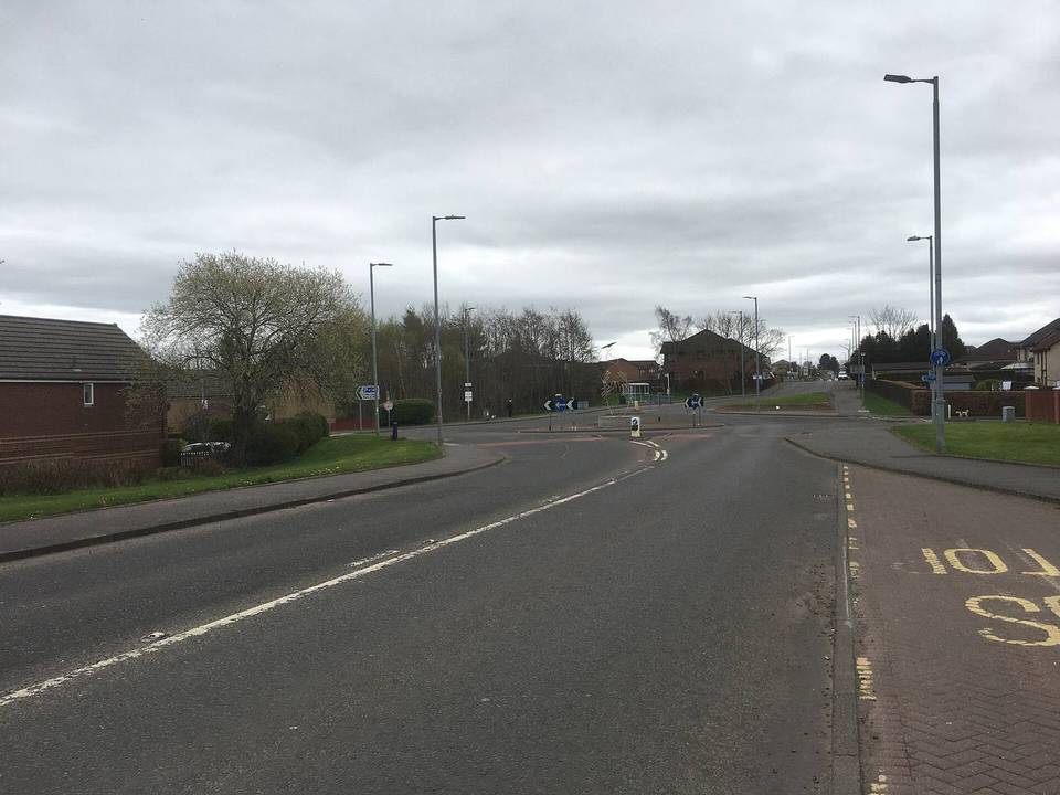
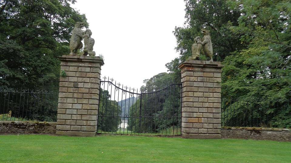
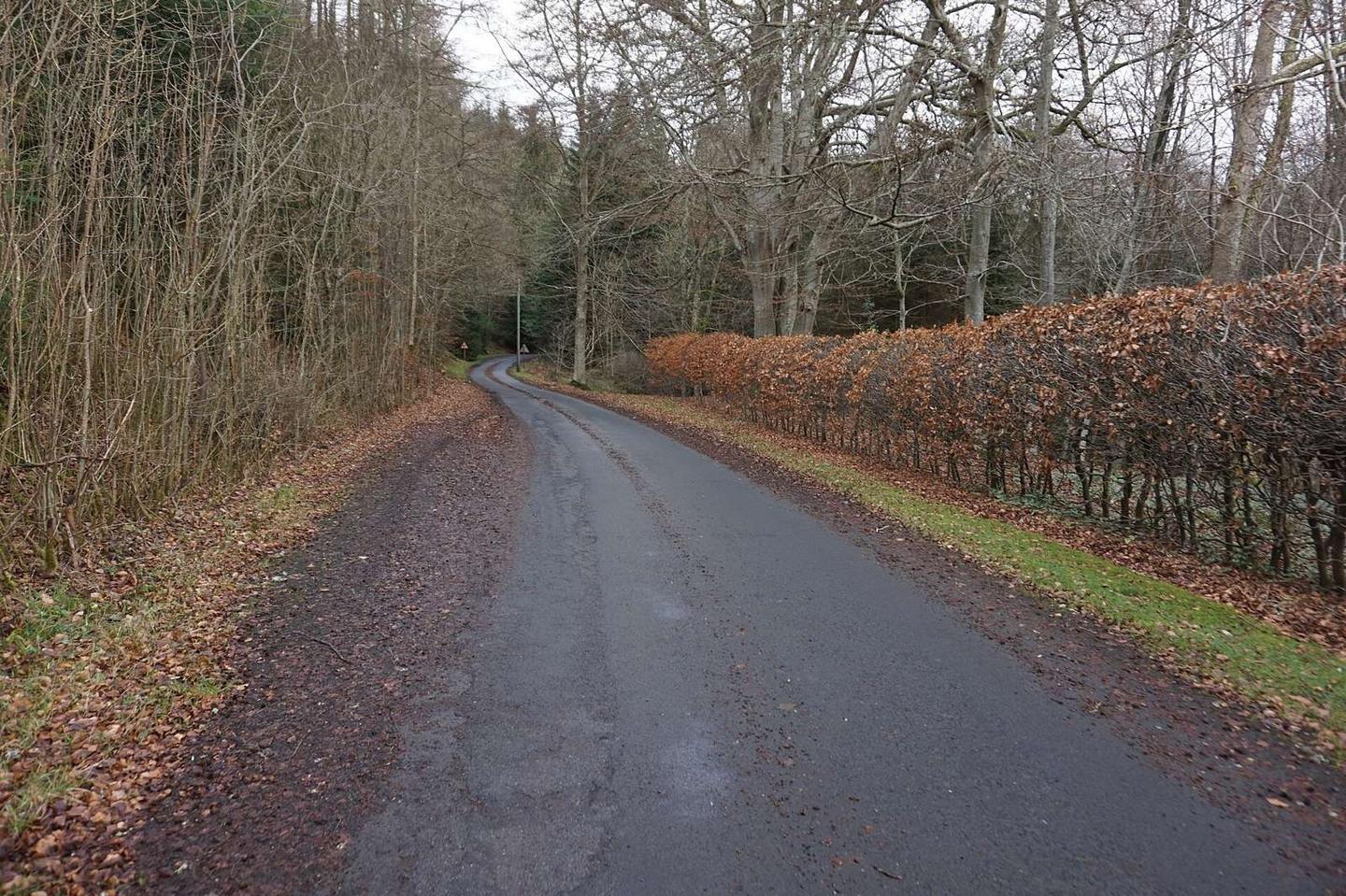
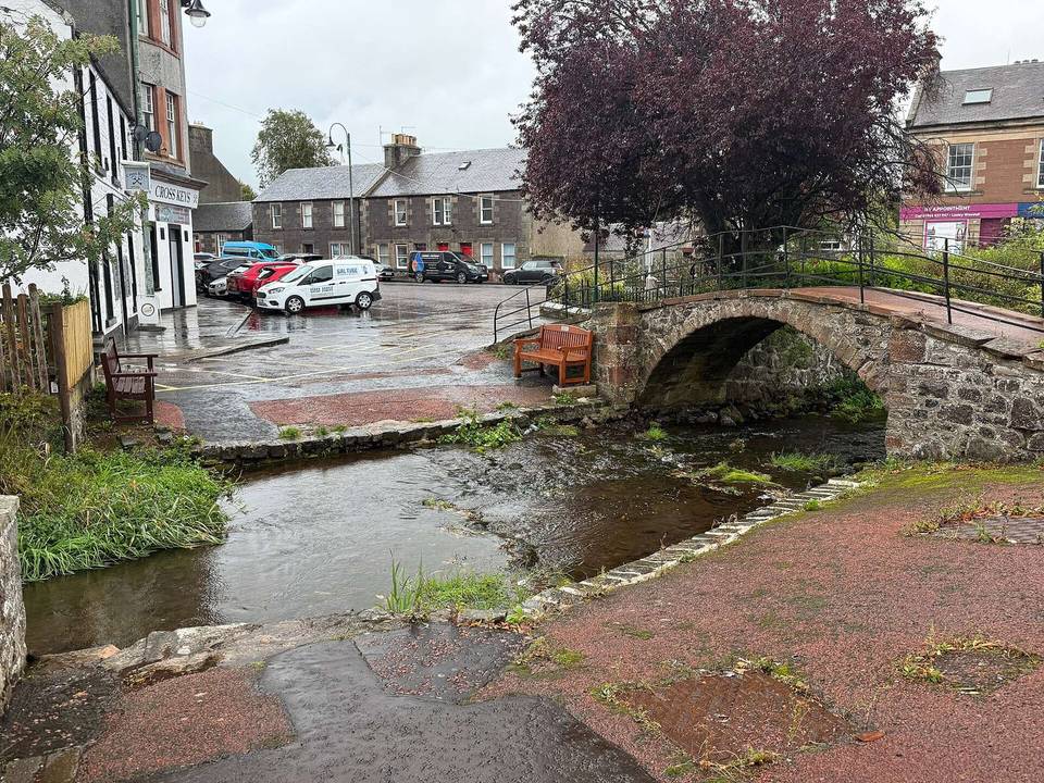
2 photographs from the road

Photo: Ian S · CC BY-SA 2.0 · Wikimedia Commons · Photo: Russel Wills · CC BY-SA 2.0 · Wikimedia Commons · Photo: John Lord · CC BY-SA 2.0 · Wikimedia Commons