Cyclists.com

National Cycle Route 74

Uddington, South Lanarkshire, United KingdomRoad

Signed route The waymarked National Cycle Route 74 (Walk Wheel Cycle Trust), traced from OpenStreetMap and measured against the terrain model; no member has recorded it yet. Ridden it? Add your recording and photos.

44 km
Distance
251 m
Elevation gain
Moderate
Difficulty
Paved
Surface
Download GPXMap

Elevation profile

Total ascent
251 m
Distance
44 km
050100150200250m0 km10203044 km221 m · highest, at 6.7 kmStartFinish

Route overview

This route suits riders looking for a moderate 44 km ride with gentle climbing and mostly paved surfaces.

National Cycle Route 74 runs 44 km from Uddington through South Lanarkshire with 251 m of elevation gain.

National Cycle Route 74 starts near Uddington at 0.7 km and travels 43.6 km mainly eastwards through South Lanarkshire. It passes through Cairnhouses (3.9 km), Lesmahagow (9.5 km), Blackwood (14.4 km), Stonehouse (20 km), Larkhall (25.5 km), Hamilton (33.9 km), and finishes near Uddingston (42.9 km). The route reaches its highest point at 220 m around 6.8 km, before descending to the lowest at 23 m near 31.4 km. The first half contains 63% of the total 251 m ascent. The profile is mostly flat to gently undulating with only 0.7 km over 5% gradient and very little steeper climbing. Surface is 98% paved with very little gravel and a small amount unmapped. Road types include 21 km of cycle paths or lanes, 12.8 km minor roads, 3.9 km quiet streets, 3.6 km main roads, and 1.3 km paths. About 3.8 km on main roads lack cycle lanes and 5.1 km are on roads with speed limits over 80 km/h. The longest named roads are Carlisle Road (4.9 km), Millheugh Road (4 km), and Spital Road (3.4 km). Food and drink options are near Cairnhouses (restaurant) and Lesmahagow (café), with pubs and cafés in various towns including Applebank at 24.5 km and The Rowan Tree pub near the finish. Shops including convenience stores and supermarkets are found from 1.4 km onward, with a seven kilometre stretch without café, shop, or water between 1.8 km and 9.2 km. There are toilets at 1.4 km, 25.5 km, 29.8 km, and 39.9 km. Bailout points are near Chatelherault station at 29.2 km and Blantyre station at 39.4 km. A bike shop is located at 25.8 km.

Highlights

  • Highest point at 220 m near 6.8 km
  • Cycle path for 21 km of route
  • Ruins of Lesmahagow Priory at 9.4 km
  • Battle Of Bothwell Bridge Obelisk near 36.4 km

Along the route

Measured from the recorded track and OpenStreetMap.

Places passed

  1. Cairnhouses 3.9 km
  2. Devonburn 7.4 km
  3. Aldton 7.4 km
  4. Brocketsbrae 8.2 km
  5. Lesmahagow 9.5 km
  6. Kirkmuirhill 13.8 km
  7. Blackwood 14.4 km
  8. Lairs 15 km
  9. Stonehouse 20 km
  10. Morgan Glen 24.1 km
  11. Larkhall 25.5 km
  12. Allanton 29 km
  13. Ferniegair 29.2 km
  14. Hamilton 33.9 km
  15. Whitehill 35.6 km
  16. Burnbank 38 km
  17. Blantyre 39.1 km
  18. Bothwell 40.7 km
  19. Kirkfield 41.1 km

What this ride is like

Measured from OpenStreetMap along the track and the elevation profile.

Roads
49% cycle path · 30% minor road · 9% quiet street · 8% main road
Main roads
3.8 km on main roads without a cycle lane — likely busier
Fast roads
5.1 km on roads with a limit of 80 km/h or more
Cycle paths
21 km on cycle paths or roads with a cycle lane
Main roads used
Carlisle Road (5 km), Millheugh Road (4 km), Spital Road (3 km)
Surface
Paved throughout
Gradient
14% climbing · 21% descending · 65% flat
Steep sections
0.7 km over 5% · steepest 500 m averages 11.8% at 0 km
Longest descent
2.2 km from 27.1 km, dropping 30 m

Along the way

Within a few hundred metres of the track, from OpenStreetMap. Opening hours change — treat this as where to look, not a promise.

Food, water and shops

  1. 1.4 kmCairn Lodge Kitchen · restaurant · 60 m off route
  2. 1.4 kmFarmshop · convenience store · 50 m off route
  3. 1.4 kmToilets · 70 m off route
  4. 1.8 kmShell · petrol station · 50 m off route
  5. 13.7 kmJET · petrol station · on the route
  6. 14.7 kmBlackwood Coop · supermarket · on the route
  7. 20 kmCo-op Food · supermarket · 150 m off route
  8. 20 kmBoots · pharmacy · 130 m off route
  9. 25.5 kmThe Co-operative Food · supermarket · 340 m off route
  10. 25.5 kmToilets · 240 m off route
  11. 25.8 kmPro-Am Cycles · bike shop · 290 m off route
  12. 29.8 kmToilets · 150 m off route
  13. 32.3 kmGreenacres Mini-Market · convenience store · 390 m off route
  14. 34.6 kmThe Bay Horse · pub · 60 m off route
  15. 34.6 kmJet · petrol station · on the route
  16. 38.8 kmAsda Café · café · 160 m off route
  17. 39.9 kmToilets · 110 m off route
  18. 40.7 kmBoots · pharmacy · 190 m off route

Need to bail out?

  • 29.2 kmChatelherault (station), 80 m off route
  • 39.4 kmBlantyre (station), 60 m off route

Whether bikes are carried depends on the service — check before relying on it.

Worth a stop

  • 9.4 kmRuins of Lesmahagow Priory (archaeological site)
  • 29.8 kmChatelherault House (attraction)
  • 33.4 kmNetherton Motte (archaeological site)
  • 36.4 kmBattle Of Bothwell Bridge Obelisk (monument)

At the finish

  • Charlie's · bakery · 410 m
  • Lincluden Medical Centre · clinic · 540 m
  • The Rowan Tree · pub · 360 m
  • Scotmid · convenience store · 350 m
  • Boots · pharmacy · 490 m

Stay after this ride

  • Bothwell Bridge Hotel · hotel · 2.0 km from the finish
  • Holiday Inn Express · hotel · 2.8 km from the finish
  • Hampton by Hilton Hamilton Park · hotel · 3.9 km from the finish
  • El Capo · hotel · 1.8 km from the finish
  • Alona Hotel · hotel · 3.2 km from the finish

Practical information

Surface
Paved
Route shape
Point to point
Riding time
3 h 07 min
Best months
Jun to Aug — daily highs of 16–17 °C in those months

Know before you go

  • 7.4 km without café, shop or water from 1.8 km to 9.2 km
  • 3.8 km on main roads without cycle lane
  • 5.1 km on roads with speed limits 80 km/h or more
  • Steepest 500 m at 0 km with 11.8% gradient

Routes are for inspiration. Roads, surfaces and conditions change — check locally and ride within your limits.

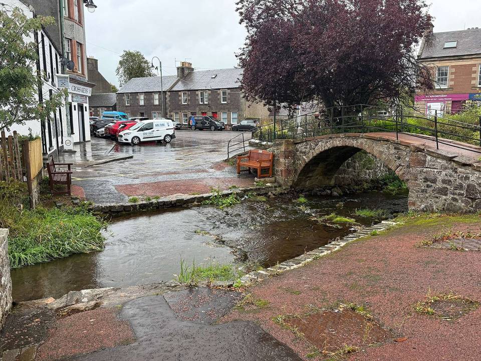
2 photographs from the road

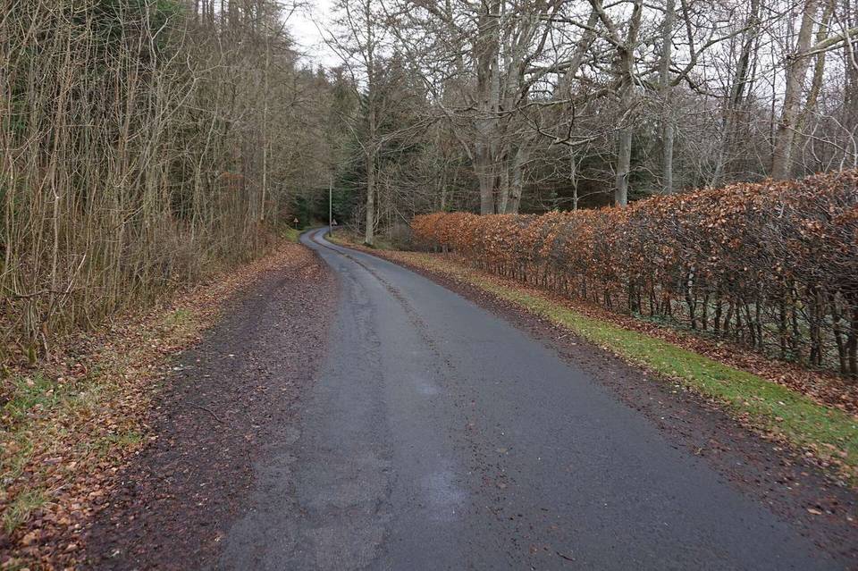
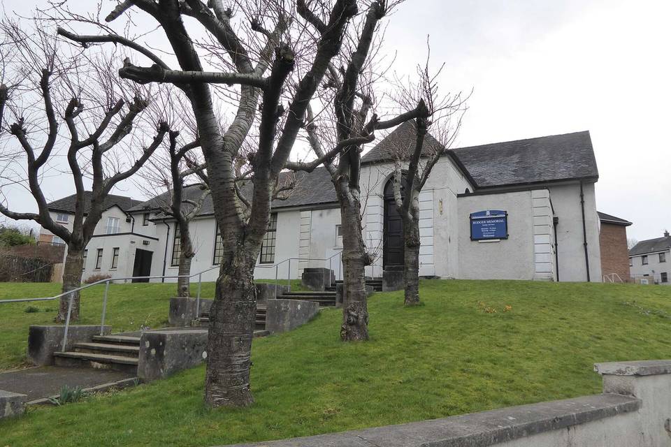
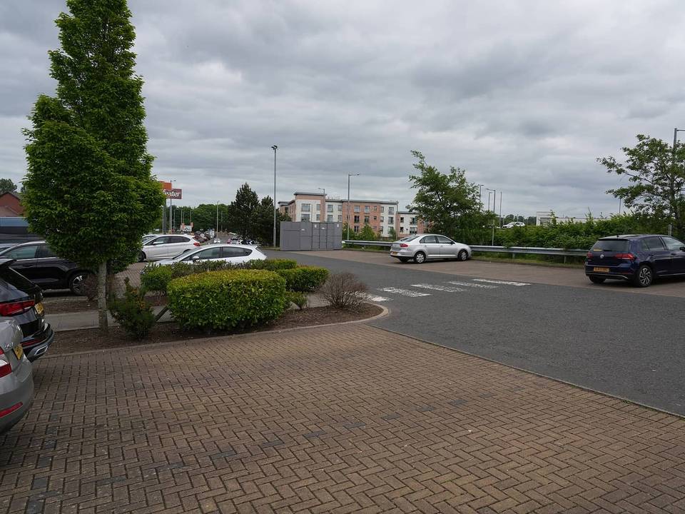
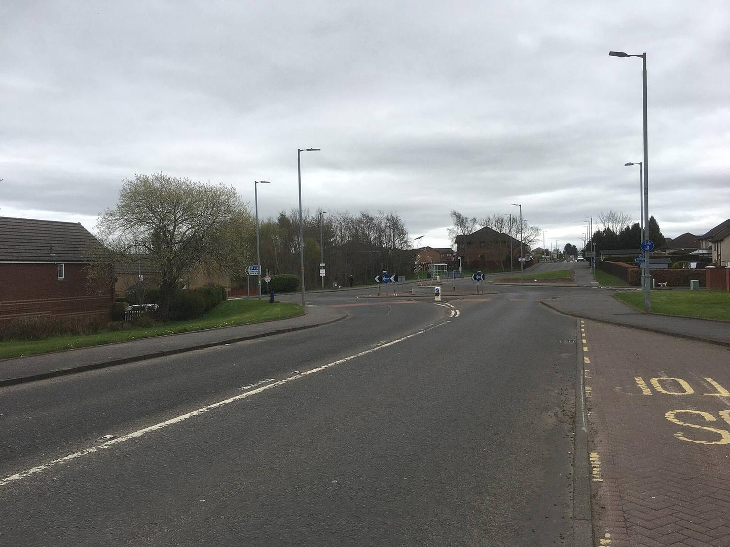
Photo: Steven Brown · CC BY-SA 2.0 · Wikimedia Commons · Photo: Billy McCrorie · CC BY-SA 2.0 · Wikimedia Commons · Photo: Lewis Clarke · CC BY-SA 2.0 · Wikimedia Commons