Lanark to Biggar via Hyndford Bridge
- 23 km
- 174 m
- Easy
- Paved
Elevation profile
- 174 m
- 23 km
Route overview
This ride suits those looking for a moderate 23 km distance with some climbing.
A 23 km ride from Lanark to Biggar with 174 m climbing, passing Hyndford Bridge and Thankerton in South Lanarkshire.
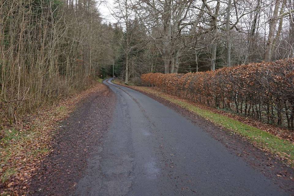
The ride starts at Lanark and heads east passing Hyndford Bridge at 3.7 km and Carmichael at 7.8 km. The highest point on the route is at 275 m at 11.2 km. From 4.1 km, there is a 2 km climb gaining 40 m at an average gradient of 2.1% with a maximum of 3.4%. The route features mostly minor roads making up 78% of the distance, with short sections on main roads (0.6 km), roads with cycle lanes (3 km), cycle paths (0.6 km), and quiet streets (0.5 km). The surfaces are almost entirely paved with just 1% gravel or unpaved. The route passes Fallburn at 14.5 km and Thankerton at 15.6 km before finishing at Biggar at 23.3 km. There is a longest stretch without café, shop, or water for 12.9 km between 1.9 and 14.8 km. At the start in Lanark, facilities include cafés, supermarkets, a bike shop, petrol station, and a railway station. At Biggar, amenities include cafes, restaurants, pubs, and a convenience store. Notable nearby peaks include Castle Hill at the start, Whitecastle Hill and Harleyholm Hill near 7.2 km, and Quothquan Law at 17.1 km.
Highlights
- Climb starting at 4.1 km
- Highest point 275 m at 11.2 km
- Passing Hyndford Bridge at 3.7 km
- Biggar archaeological site nearby
Along the route
Places passed
Climbs
| Climb | Starts at | Length | Gain | Average | Max | Top |
|---|---|---|---|---|---|---|
| — | 4.1 km | 2 km | 40 m | 2.1 % | 3.4 % | 220 m |
What this ride is like
- Roads
- 78% minor road · 13% road with cycle lane · 3% main road · 3% cycle path
- Fast roads
- 16.6 km on roads with a limit of 80 km/h or more
- Cycle paths
- 3.6 km on cycle paths or roads with a cycle lane
- Main roads used
- A73 (3 km), Devonside Road (3 km)
- Surface
- Paved throughout
- Gradient
- 23% climbing · 24% descending · 54% flat
- Longest descent
- 2.6 km from 12.2 km, dropping 50 m
Along the way
Food, water and shops
- 0.1 kmMorrisons · supermarket · on the route
- 0.1 kmToilets · on the route
- 0.2 kmLife Styles · café · 100 m off route
- 0.8 kmLockhart Hospital · hospital · 110 m off route
- 1.4 kmBike shop · on the route
- 1.4 kmLanark Loch Garage · petrol station · on the route
- 14.8 kmTinto Hill Tearoom · café · on the route
- 23.2 kmLondis · convenience store · 150 m off route
- 23.2 kmBP · petrol station · 140 m off route
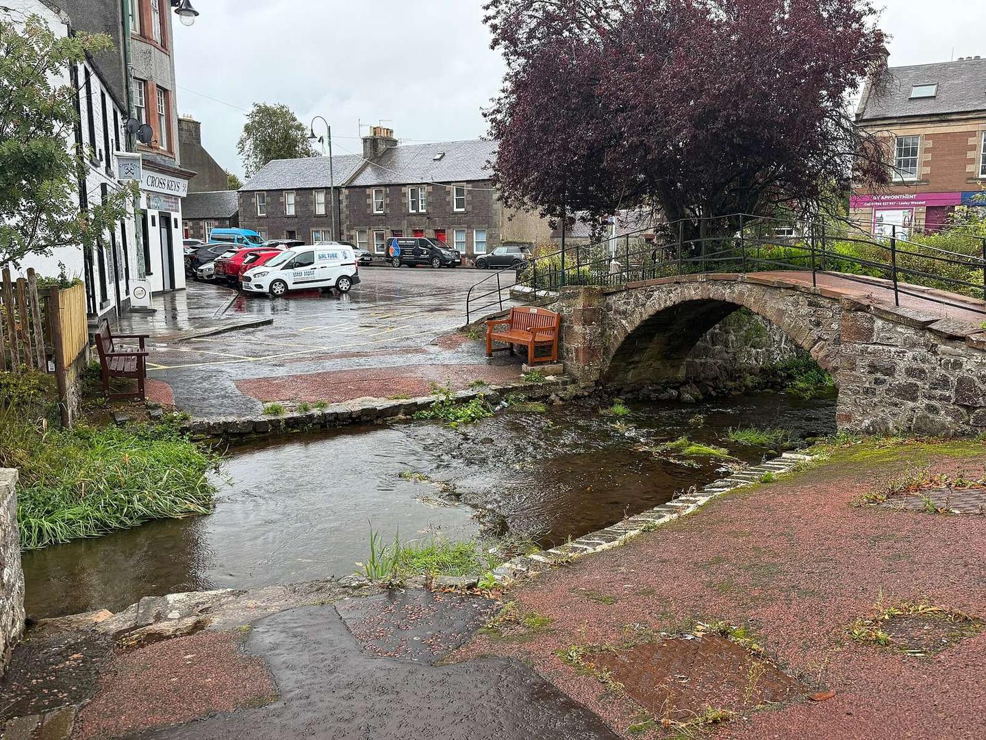
- 23.3 kmCross Keys · pub · on the route
- 23.3 kmGraeme Pharmacy · pharmacy · 430 m off route
Need to bail out?
- 0 km — Lanark (station), 150 m off route
Worth a stop
- 0.1 km — Ruins of Church of St Kentigern's (ruins)
- 7.2 km — Harleyholm Hill (peak)
- 23.3 km — Biggar Motte (archaeological site)
At the start
- Lanark · station · 150 m
- Morrisons · supermarket · 110 m
- Life Styles · café · 200 m
- Lidl · supermarket · 130 m
- Bake N' Butty · café · 180 m
At the finish
- Cross Keys · pub · 30 m
- The Oriental · restaurant · 40 m
- Zest sandwich bar · café · 270 m
- Londis · convenience store · 180 m
- The Barony · restaurant · 180 m
Stay after this ride
- The Kirkstyle Hotel · hotel · 260 m from the finish
- Biggar Caravan Park · campsite · 1.1 km from the finish
- Cormiston Farm · guest house · 2.9 km from the finish
- Cornhill House Hotel · hotel · 3.1 km from the finish
Practical information
- Paved
- Point to point
- 1 h 40 min
- Jun to Aug — daily highs of 16–17 °C in those months
Know before you go
- Longest stretch without café, shop or water for 12.9 km from 1.9 to 14.8 km
- 16.6 km on roads with speed limits 80 km/h or more
- 0.6 km on main roads without a cycle lane
- 1% gravel or unpaved surface