Cyclists.com

Crinan Canal

Crinan, Argyll and Bute, United KingdomRoad

Signed route The waymarked Crinan Canal (National Cycle Network 78), traced from OpenStreetMap and measured against the terrain model; no member has recorded it yet. Ridden it? Add your recording and photos.

13 km
Distance
23 m
Elevation gain
Easy
Difficulty
Paved
Surface
Download GPXMap

Elevation profile

Total ascent
23 m
Distance
13 km
02040m0 km51013 km29 m · highest, at 6.5 kmStartFinish

Route overview

Suitable for riders looking for a short, mostly flat ride with minimal climbing on cycle paths and minor roads.

A 13 km point-to-point cycle route along the Crinan Canal in Argyll and Bute, UK, mainly on cycle paths with minimal climbing.

Starting in Crinan, the route follows the canal passing Crinan Ferry at 0.8 km then Bellanoch at 3 km. The highest point is 29 m at 6.5 km, marking the mid-route high. The profile is mostly flat, with 92% flat sections, gentle climbing of 23 m overall and descents totalling 5% of the route. The surface is 97% paved with 81% of the route on cycle paths and 14% on minor roads. There is a short 2% gravel or unpaved section. From Crinan to 5.3 km, there are no cafes, shops or water for up to 5.3 km, but cafes can be found at the start and at 5.3 km, with others near the end. Toilets are available at the start and just after 5 km. Key points along the route include the villages of Cairnbaan and Lochgilphead, with archaeological sites near 1.3 km and 7.2 km. The route ends in Ardrishaig, where facilities include multiple cafes and convenience stores, plus a bike repair stand just beyond the finish.

Highlights

  • Crinan Canal cycle path (10.7 km)
  • Peaks Bàrr Mòr and Barr an Daimh near start
  • Archaeological sites at 1.3 km and 7.2 km
  • Ardrishaig finish with bike repair stand

Along the route

Measured from the recorded track and OpenStreetMap.

Places passed

  1. Bellanoch 3 km
  2. Cairnbaan 7.1 km
  3. Lochgilphead 10.6 km

What this ride is like

Measured from OpenStreetMap along the track and the elevation profile.

Roads
81% cycle path · 14% minor road
Cycle paths
10.7 km on cycle paths or roads with a cycle lane
Surface
Paved throughout
Gradient
3% climbing · 5% descending · 92% flat

Along the way

Within a few hundred metres of the track, from OpenStreetMap. Opening hours change — treat this as where to look, not a promise.

Food, water and shops

  1. 0 kmCoffee Shop · café · 90 m off route
  2. 0 kmToilets · 110 m off route
  3. 5.1 kmToilets · on the route
  4. 5.3 kmPolly’s Coffee Stop · café · 30 m off route
  5. 10 kmSalty Dog Cafe · café · 50 m off route
  6. 10.1 kmSpar · convenience store · 60 m off route
  7. 10.1 kmRiverside Filling Station · petrol station · 50 m off route
  8. 10.7 kmArgyll Pharmacies Ltd · pharmacy · 540 m off route
  9. 13.1 kmRepair stand · 460 m off route

Worth a stop

  • 1.3 kmKilmahumaig, dun site (archaeological site)
  • 7.2 kmCarn Ban Cairn (archaeological site)

At the start

  • Coffee Shop · café · 90 m

At the finish

  • Morrisons Daily · convenience store · 200 m
  • The Ritz · café · 330 m
  • Peter Law & Son · convenience store · 210 m
  • The Rumblin' Tum · café · 350 m

Stay after this ride

  • The Grey Gull Hotel · hotel · 60 m from the finish
  • Dalriada B&B · guest house · 270 m from the finish
  • Argyll Arms Hotel · hotel · 250 m from the finish

Practical information

Surface
Paved
Route shape
Point to point
Riding time
56 min
Best months
Jul to Aug — daily highs of 16 °C in those months

Know before you go

  • 5.3 km stretch from start without café, shop or water
  • 1.8 km on minor roads
  • 2% gravel or unpaved surface

Routes are for inspiration. Roads, surfaces and conditions change — check locally and ride within your limits.

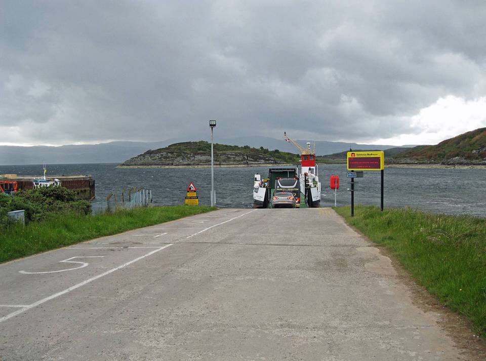
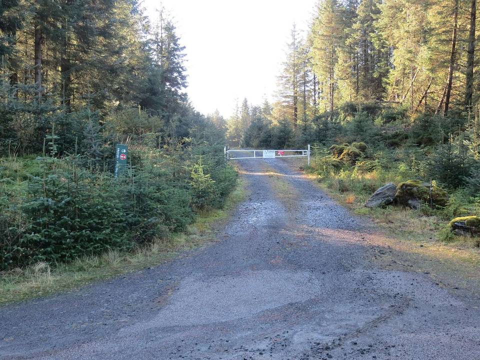
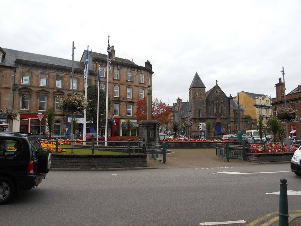
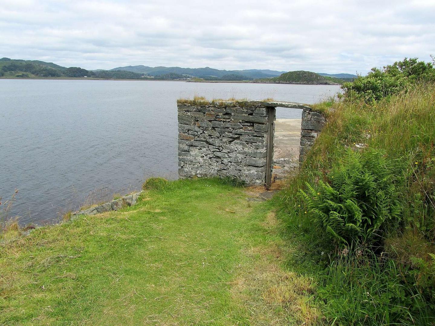
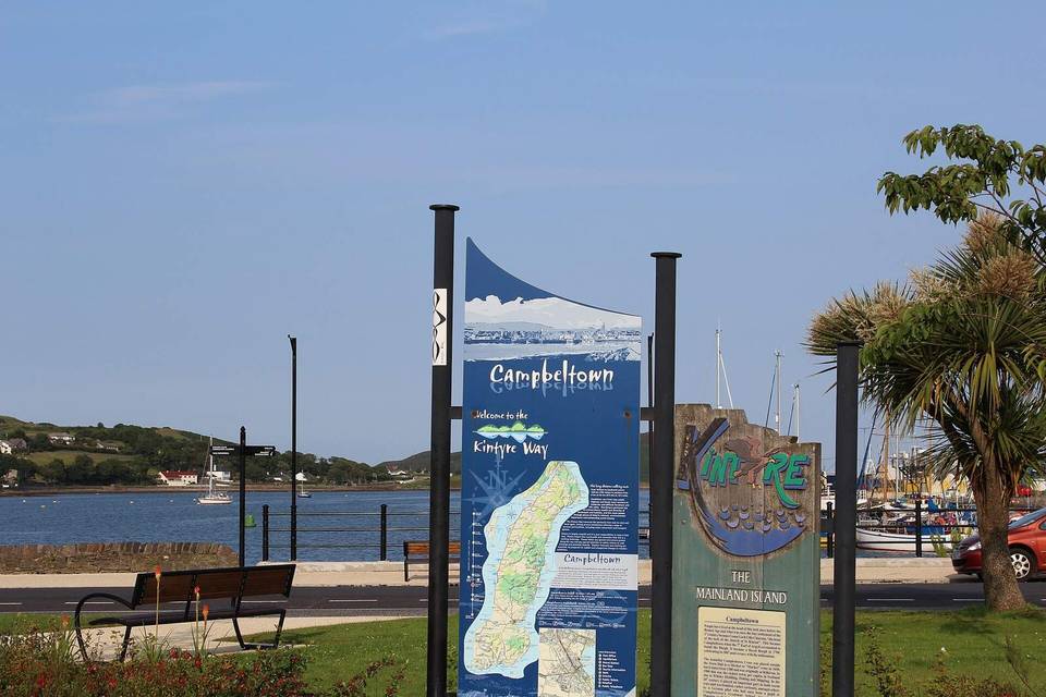
2 photographs from the road

Photo: Chris Heaton · CC BY-SA 2.0 · Wikimedia Commons · Photo: M J Richardson · CC BY-SA 2.0 · Wikimedia Commons · Photo: Alan Reid · CC BY-SA 2.0 · Wikimedia Commons