Cyclists.com

Caledonia Way

Dores, Highland, United KingdomRoad

Signed route The waymarked Caledonia Way (regional route CW), traced from OpenStreetMap and measured against the terrain model; no member has recorded it yet. Ridden it? Add your recording and photos.

38 km
Distance
425 m
Elevation gain
Moderate
Difficulty
Paved
Surface
Download GPXMap

Elevation profile

Total ascent
425 m
Distance
38 km
0100200300400m0 km10203038 km383 m · highest, at 29.8 kmStartFinish

Route overview

Suitable for riders prepared for moderate climbing over 425 m within a 38 km distance.

Caledonia Way in Highland, UK, is a 38.1 km point-to-point ride from Dores to Fort Augustus with 425 m of climbing.

The route starts at Dores and heads northwest, passing Inverfarigaig at 12.8 km and climbing gently beyond this point. The first climb begins at 12.1 km lasting 2.7 km with an average gradient of 2.7% gaining 72 m to reach 100 m elevation. The second climb starts at 16 km, is 3 km long with a 3.1% average gradient, rising 94 m up to 191 m height near Foyers. The third and longest climb starts at 25.6 km, length 4.2 km, and gains 162 m at an average gradient of 3.9%, peaking at 382 m by 29.8 km near Suidhe Chuimein.

Highlights

  • Climb near Inverfarigaig up to 100 m
  • Climb near Foyers reaching 191 m
  • Longest climb past Dalcrag to 382 m
  • Viewpoint at Suidhe Chuimein around 29.7 km

Along the route

Measured from the recorded track and OpenStreetMap.

Places passed

  1. Inverfarigaig 12.8 km
  2. Foyers 17 km
  3. Dalcrag 21.3 km
  4. Whitebridge 23.4 km

Climbs

ClimbStarts atLengthGainAverageMaxTop
12.1 km2.7 km72 m2.7 %5.2 %100 m
16 km3 km94 m3.1 %7.3 %191 m
25.6 km4.2 km162 m3.9 %6.5 %382 m

High point 382 m at 29.8 km; low point 19 m.

What this ride is like

Measured from OpenStreetMap along the track and the elevation profile.

Roads
97% main road · 2% path
Main roads
36.9 km on main roads without a cycle lane — likely busier
Fast roads
35.5 km on roads with a limit of 80 km/h or more
Main roads used
B852 (21 km), B862 (16 km)
Surface
Paved throughout
Gradient
26% climbing · 19% descending · 55% flat
Steep sections
2.2 km over 5% · steepest 500 m averages 6.9% at 18.1 km
Longest descent
2.5 km from 35.5 km, dropping 179 m

Along the way

Within a few hundred metres of the track, from OpenStreetMap. Opening hours change — treat this as where to look, not a promise.

Longest stretch without a café, shop or water: 20 km, from 18 km to 38 km.

Food, water and shops

  1. 13.2 kmToilets · 150 m off route
  2. 17.3 kmWaterfall Cafe · café · on the route
  3. 17.3 kmFoyers Stores · convenience store · on the route
  4. 17.4 kmFalls of Foyers Toilets · toilets · 30 m off route
  5. 38 kmPapa G's · restaurant · 140 m off route
  6. 38 kmPharmacy · 540 m off route

Worth a stop

  • 17.4 kmUpper Viewpoint (viewpoint)
  • 29.7 kmSuidhe Chuimein (viewpoint)

At the finish

  • Papa G's · restaurant · 140 m
  • Nourish Ness Community Café · café · 390 m
  • Richmond House Hotel Bar & Restaurant · restaurant · 340 m
  • Highland Ice Cream · ice cream · 390 m

Stay after this ride

  • Monks Retreat B&B · guest house · 170 m from the finish
  • The White House B&B · guest house · 250 m from the finish
  • Caledonian Hotel · hotel · 270 m from the finish
  • Loch Ness Guest House · guest house · 300 m from the finish
  • Oaklands B&B · guest house · 320 m from the finish

Practical information

Surface
Paved
Route shape
Point to point
Riding time
2 h 43 min
Best months
Jun to Sep — daily highs of 16–18 °C in those months

Know before you go

  • 36.9 km on main roads without cycle lanes
  • 35.5 km on roads with posted limits of 80 km/h or more
  • 2.2 km climbing over 5% gradient
  • 20.1 km without café, shop or water from 17.9 to 38 km

Routes are for inspiration. Roads, surfaces and conditions change — check locally and ride within your limits.

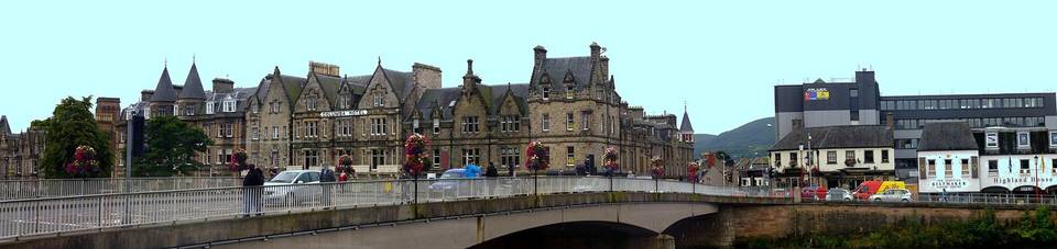
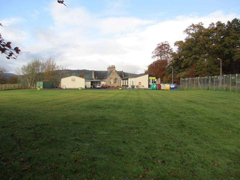
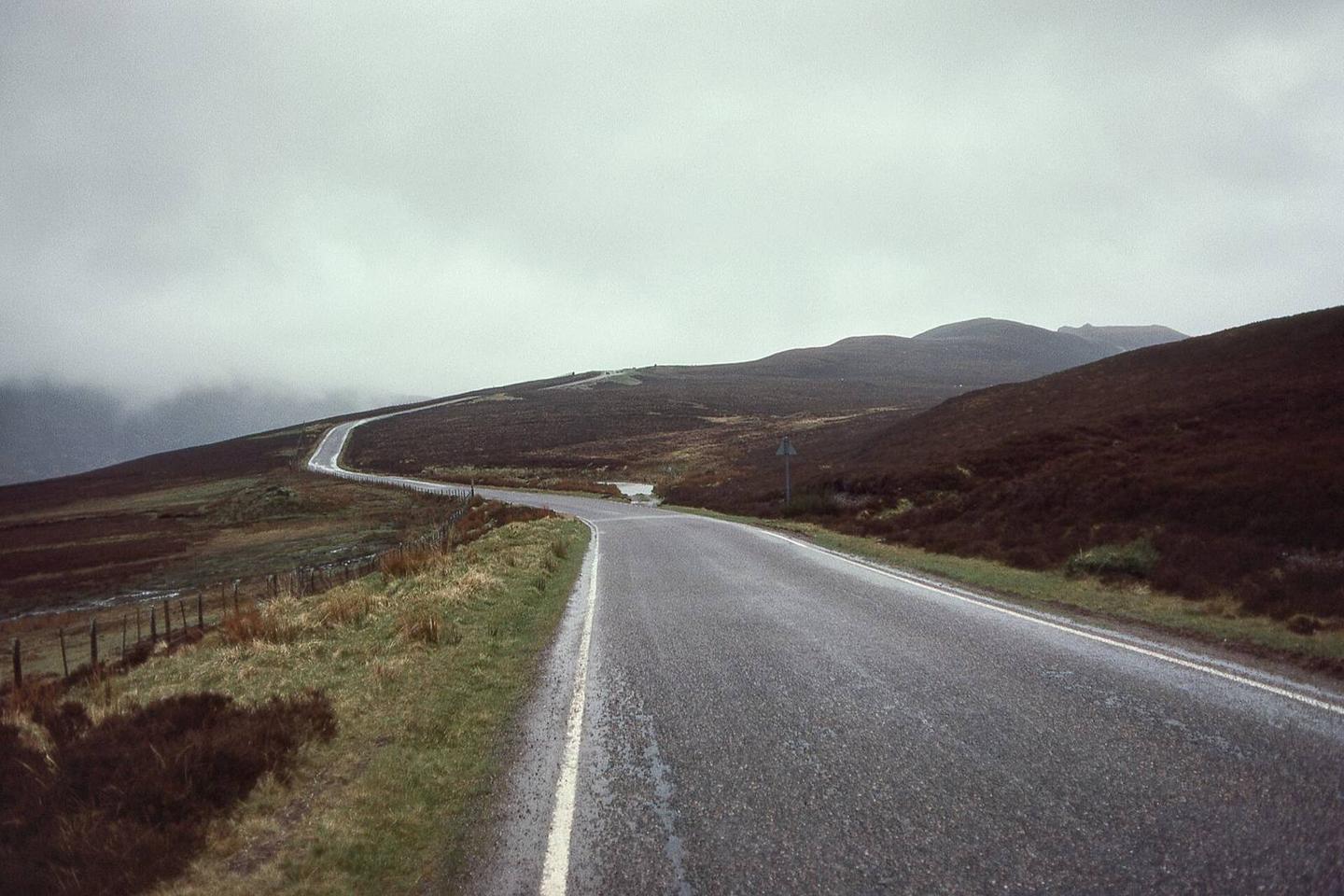
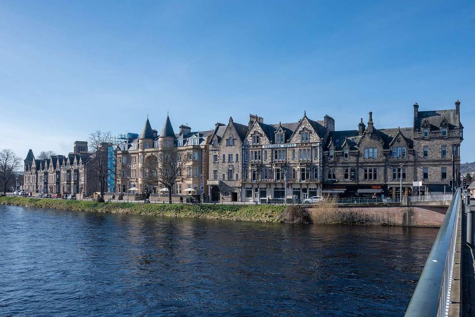
2 photographs from the road

Photo: Giorgio Galeotti · CC BY-SA 4.0 · Wikimedia Commons · Photo: wfmillar · CC BY-SA 2.0 · Wikimedia Commons · Photo: Peter Bond · CC BY-SA 2.0 · Wikimedia Commons