Road · United Kingdom
Great North Trail (Central Belt)
A flat 83 km gravel route from Craiglockhart through Wester Hailes, Broxburn and Rumford, with 81 m of climbing. 88% is on cycle paths or roads with a cycle lane.
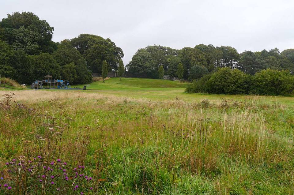
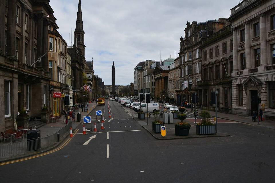
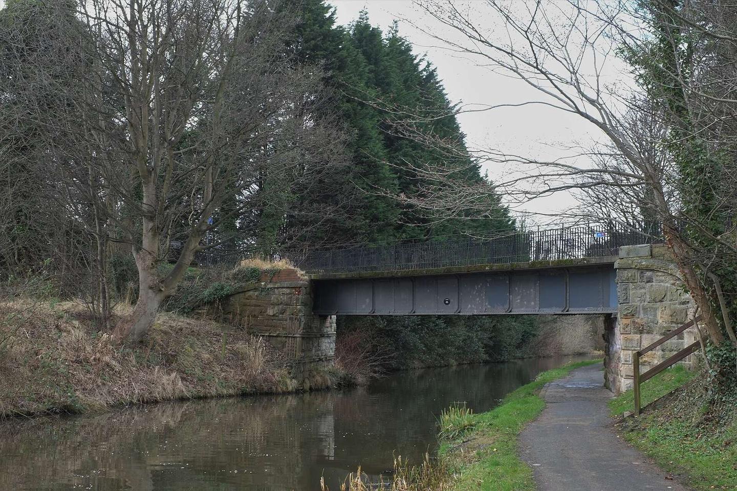
2 photographs from the road
At a glance
- Best for
- Steady riding away from traffic
- Distance
- 83.3 km
- Elevation gain
- 81 m
- Riding time
- 6 h 56 min
- Difficulty
- Moderate
- Bike
- Road bike
- Surface
- Mostly paved
- Traffic
- Mostly cycle paths
- Food & water
- Regular
- Best months
- Jun to Sep
- Navigation
- GPX download
- Start → finish
- Craiglockhart
Map and elevation profile
Elevation profile
- 81 m
- 83 km
Route description
- Craiglockhart
- Wester Hailes
- Broxburn
- Rumford
- Lionthorn
- Bonnybridge
- Haggs
- Auchinvole
- Kirkintilloch
This 83.3 km point-to-point route starts at Craiglockhart and finishes in Kelvindale. The route is mostly flat, with a high point of 96 m at 43.6 km near Lionthorn and the lowest point at 33 m near the finish. The profile shows 81 m of elevation gain with just 2% climbing and 3% descending, making the ride predominantly flat.
Nearly 95% of the surface is paved, with about 4% gravel or unpaved. The route mainly follows cycle paths, covering 73.3 km or 89%, with a small mix of paths, quiet streets, main roads, and minor roads. Notably, 41.8 km is along the Union Canal Towpath and 29.9 km on the Forth and Clyde Canal Towpath.
Facilities along the way include cafés roughly every 10-15 km such as Paddle Café at 2.9 km and Falkirk Wheel Cafe at 47.7 km. Shops and supermarkets like Lidl at 1.8 km and Tesco at 29.4 km are nearby. There's a longest stretch without café, shop, or water from 51.6 km to 62 km. Bailout points with stations include Kingsknowe at 0.5 km and Falkirk High at 44.1 km. Bike shops and repair stands are available near 29.8 km and 47.7 km respectively.
Why ride this route?
- The flattest of the 5 rides from Edinburgh.
- 88% on cycle paths or lanes.
Highlights
- Union Canal Towpath for 41.8 km
- Forth and Clyde Canal Towpath for 29.9 km
- Peak near Lionthorn at 96 m
- Greendykes Bing South Top near 17.8 km
Along the route
Places passed
Traffic, surface and gradient
Much of the route is separated from traffic: 88% is on cycle paths or roads with a cycle lane.
- Roads
- 89% cycle path · 5% path · 2% quiet street · 2% main road · 2% other roads and tracks
- Main roads
- 1.5 km on main roads without a cycle lane — likely busier
- Fast roads
- 1.4 km on roads with a limit of 80 km/h or more
- Cycle paths
- 73.3 km on cycle paths or roads with a cycle lane
- Main roads used
- Union Canal Towpath (42 km), Forth and Clyde Canal Towpath (30 km)
- Surface
- Predominantly paved: 95% is mapped as paved, 4% as unpaved or gravel.
- Gradient
- 2% climbing · 3% descending · 95% flat
Food, water and services
No stretch is longer than 15 km without a café, shop or water. Along the route: 149 cafés and restaurants, 54 shops, 2 water points, 1 petrol station, 6 public toilets and 10 bike shops.
Food, water and shops in ride order
- 1.8 kmLidl · supermarket · 240 m off route
- 2.9 kmPaddle Café · café · 40 m off route
- 9.7 kmCafé Refresh · café · 80 m off route
- 16.7 kmAldi · supermarket · 110 m off route
- 20.4 kmrightmedicine Pharmacy · pharmacy · 130 m off route
- 29.4 kmTesco · supermarket · 140 m off route
- 29.7 kmDrinking water · on the route
- 29.8 kmElevation Cycles · bike shop · 180 m off route
- 38.5 kmaran · café · 100 m off route
- 42.9 kmThe Milk Barn · café · 390 m off route
- 47.7 kmFalkirk Wheel Cafe · café · 50 m off route
- 47.7 kmRepair stand · on the route
- 50.6 kmLindsay & Gilmour · pharmacy · 110 m off route
- 62 kmThe Boathouse · restaurant · 90 m off route
- 64.8 kmRepair stand · on the route
- 70.3 kmSainsbury's · supermarket · 110 m off route
- 70.6 kmToilets · 80 m off route
- 79.4 kmCafé on the canal · café · 40 m off route
Need to bail out?
- 0.5 km — Kingsknowe (station), 30 m off route
- 14.7 km — Laird's Halt (station), 960 m off route
- 29.5 km — Linlithgow (station), 70 m off route
- 44.1 km — Falkirk High (station), 120 m off route
- 61.7 km — Croy (station), 1.4 km off route
- 70.6 km — Seagull Trust Cruises (ferry), 40 m off route
- 80.8 km — Gilshochill (station), 430 m off route
Worth a stop
- 17.8 km — Greendykes Bing South Top (peak, 127.8 m)
- 35.7 km — Almond Castle (castle)
- 52.4 km — Antonine Wall (ruins)
- 64.8 km — Antonine Wall (ruins)
- 74 km — Antonine Wall (ruins)
Stay after this ride
- Queen Margaret Residences · apartment · 950 m from the finish
- Leonardo Inn Hotel Glasgow West End · hotel · 1.1 km from the finish
- One Devonshire Gardens · hotel · 1.2 km from the finish
- Belhaven Hotel · hotel · 1.4 km from the finish
- Ambassador Hotel · hotel · 1.7 km from the finish
Start and access
At the start
- Trains and ferries
- Kingsknowe (500 m)
- Food and coffee
- The Kingsknowe (470 m)
At the finish
- Trains and ferries
- Maryhill (540 m), Kelvindale (550 m)
- Bikes and repair
- Maryhill Library Station (8213) (700 m)
- Food and coffee
- Subway (770 m)
- Pharmacy and medical
- Maryhill Health & Care Centre (610 m), Gairbraid Pharmacy (760 m)
Know before you go
- Longest stretch without café, shop or water: 10.4 km from 51.6 km to 62 km
- 1.5 km on main roads without cycle lanes
- 1.4 km on roads with speed limits of 80 km/h or more
- 4% of the route has gravel or unpaved surface