Road · United Kingdom
National Cycle Route 1: Edinburgh to Loch Leven
A hilly 47 km road cycling route from National Cycle Route 1: Edinburgh to Loch Leven through Dean Village, Dalry and Muirhouse, with 432 m of climbing.
2 photographs from the road
At a glance
- Best for
- Short, climbing-heavy rides
- Distance
- 47.2 km
- Elevation gain
- 432 m
- Riding time
- 3 h 22 min
- Difficulty
- Moderate
- Bike
- Road bike
- Surface
- Paved
- Traffic
- Mostly minor roads
- Food & water
- Longest gap 16 km
- Best months
- Jun to Sep
- Navigation
- GPX download
- Start → finish
- National Cycle Route 1: Edinburgh → Loch Leven
Map and elevation profile
Elevation profile
- 432 m
- 47 km
Route description
- National Cycle Route 1: Edinburgh
- Dean Village
- Dalry
- Muirhouse
- Cramond
- South Queensferry
- Inverkeithing
- Abbeyview
- Kingseathill
- Loch Leven
The route starts in Edinburgh and passes through districts including New Town, Old Town, Stockbridge, and West End within the first 2 km. It then continues north-west through Craigleith, Blackhall, and Barnton to Cramond and Dalmeny. The first 16 km includes 40% of the total climbing, descending to a low of 5 m near km 17. Around km 15 to 19, the route features a low point and passes near viewpoints and ferry points.
From Inverkeithing at km 21, the route climbs gently on stretches up to 3.6% average gradient, including four climbs between km 22.5 and 37.9 reaching a high point of 286 m. The road surface is mainly paved (97%), mixing 36% cycle paths, 32% minor roads, 11% quiet streets, and about 14% main roads, some without cycle lanes. There is a 15.9 km stretch with no café, shop or water from km 30 to 45.9, so refuelling before this point is advised.
Key places along the way for food and drink include cafés at Dalmeny (km 13.8), Starosta Café near km 21, and Rice Delight fast food just beyond km 26. Bike shops are available near the start in Edinburgh and in Inverkeithing. Bailout points with stations and a ferry serve Haymarket, Dalmeny, Inverkeithing, and Dunfermline Queen Margaret. The route ends near Kinross with café and pharmacy facilities.
Why ride this route?
- The most climbing per kilometre of the 5 rides from Edinburgh: 9 m per km.
Highlights
- Cramond and Dalmeny
- Four climbs between km 22.5 and 37.9
- Longest descent of 3.5 km drop 165 m
- Kinross at 46.6 km end point
Along the route
Places passed
Climbs
| Climb | Starts at | On this ride | Top on this ride |
|---|---|---|---|
| Unnamed climb | 22.5 km | 2.1 km · 66 m · 3.2 % · max 5.8 % | 78 m |
| Unnamed climb | 27.8 km | 1.7 km · 52 m · 3 % · max 5.1 % | 133 m |
| Unnamed climb | 33.4 km | 2.4 km · 59 m · 2.5 % · max 3.5 % | 219 m |
| Unnamed climb | 36 km | 1.9 km · 66 m · 3.6 % · max 5.9 % | 286 m |
Traffic, surface and gradient
Mostly minor roads and streets on the map; 3.9 km is on main roads without a cycle lane.
- Roads
- 36% cycle path · 32% minor road · 11% quiet street · 8% main road · 13% other roads and tracks
- Main roads
- 3.9 km on main roads without a cycle lane — likely busier
- Fast roads
- 13.4 km on roads with a limit of 80 km/h or more
- Cycle paths
- 19.6 km on cycle paths or roads with a cycle lane
- Main roads used
- C498 (4 km)
- Surface
- Paved: 97% of the route is mapped as paved, 2% as unpaved.
- Gradient
- 26% climbing · 21% descending · 52% flat
- Steep sections
- 1.1 km over 5%
- Longest descent
- 3.5 km from 38.5 km, dropping 165 m
Food, water and services
The longest stretch without a café, shop or water is 16 km, from km 30 to 46. Along the route: 438 cafés and restaurants, 65 shops, 2 water points, 4 petrol stations, 22 public toilets and 5 bike shops.
Food, water and shops in ride order
- 0 kmStarbucks · café · on the route
- 0.8 kmTop Up Tap · drinking water · 210 m off route
- 1.5 kmBoots · pharmacy · 150 m off route
- 1.8 kmToilets · 60 m off route
- 4.3 kmCosta · café · 140 m off route
- 4.3 kmSainsbury's · petrol station · 60 m off route
- 9.5 kmMiller & Carter · restaurant · on the route
- 13.8 kmDalmeny Kirk Café · café · on the route
- 16.1 kmShell · petrol station · 200 m off route
- 16.3 kmToilets · 40 m off route
- 21.1 kmStarosta Cafe · café · on the route
- 21.1 kmRyan's Bike Surgery · bike shop · on the route
- 21.2 kmLindsay & Gilmour Pharmacy · pharmacy · on the route
- 21.8 kmToilets · 40 m off route
- 26.7 kmCo-op Food · convenience store · on the route
- 26.8 kmRice Delight · fast food · 30 m off route
- 45.9 kmCashmere at Lochleven Coffee Shop · café · on the route
- 46.6 kmToilets · 110 m off route
Need to bail out?
- 1.8 km — Haymarket (station), 100 m off route
- 14.9 km — Dalmeny (station), 320 m off route
- 21.8 km — Inverkeithing (station), 50 m off route
- 28.3 km — Dunfermline Queen Margaret (station), 130 m off route
- 46.6 km — Ferry, 150 m off route
Worth a stop
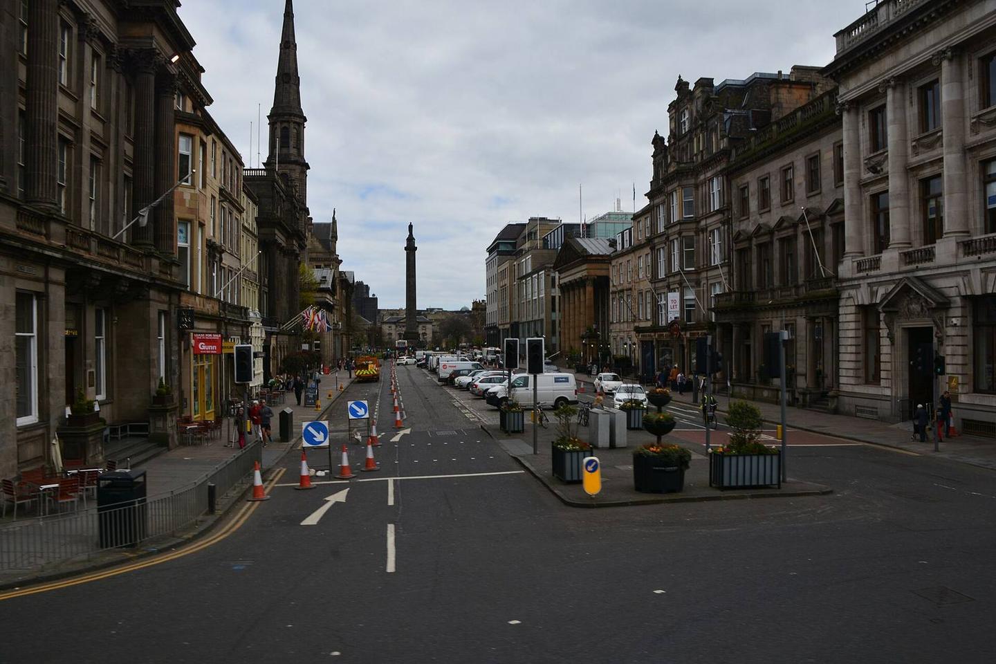
- 1.2 km — Robert Viscount Melville (monument)
- 9.4 km — James V attacked at Cramond Brig A.D.1532 (monument)
- 16.4 km — Forth Bridges Viewpoint (viewpoint)
- 21.3 km — Mercat Cross (monument)
- 37.9 km — Heights of Craigencrow (peak, 300 m)
- 41.3 km — Cleish Mill (archaeological site)
Stay after this ride
- Salutation Hotel · hotel · 630 m from the finish
- Kelson Lodge · guest house · 1.1 km from the finish
- Travelodge · hotel · 1.9 km from the finish
Start and access
At the start
- Food and coffee
- Starbucks (30 m), Black Sheep Coffee (30 m), Bagel Factory (90 m)
At the finish
- Food and coffee
- Cashmere at Lochleven Coffee Shop (340 m)
- Pharmacy and medical
- Kinross Pharmacy (480 m), Rowlands Pharmacy (730 m)
Know before you go
- 15.9 km without café, shop or water from km 30 to 45.9
- 3.9 km on main roads without cycle lane
- 13.4 km on roads with speed limits of 80 km/h or more