Road · United Kingdom
Stage 1 of 7 · EuroVelo 12 from EdinburghStage 2 →
Edinburgh to St Andrews
A rolling 105 km road cycling route from Edinburgh to St Andrews through Stockbridge, Roseburn and Silverknowes, with 833 m of climbing.
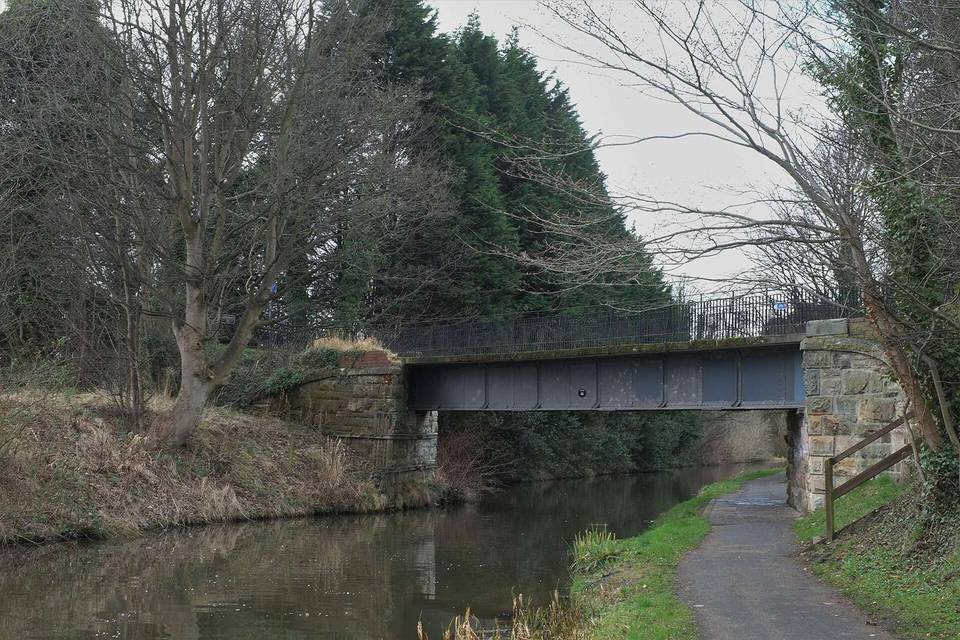
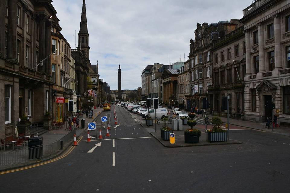
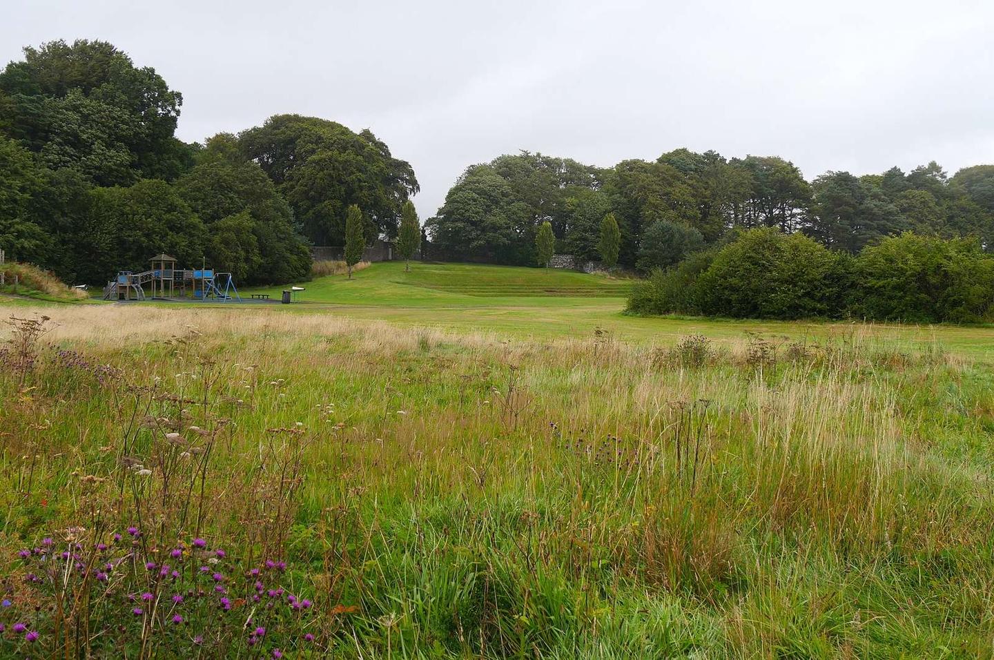
2 photographs from the road
At a glance
- Best for
- Rolling day rides for fit, experienced riders
- Distance
- 105 km
- Elevation gain
- 833 m
- Riding time
- 7 h 30 min
- Difficulty
- Hard
- Bike
- Road bike with sturdy tyres, or gravel bike
- Surface
- Mostly paved
- Traffic
- Mostly minor roads
- Food & water
- Longest gap 16 km
- Best months
- Jun to Sep
- Navigation
- GPX download
- Start → finish
- Edinburgh → St Andrews
Map and elevation profile
Elevation profile
- 833 m
- 105 km
Route description
- Edinburgh
- Stockbridge
- Roseburn
- Silverknowes
- South Queensferry
- Masterton
- Dunfermline
- Wester Balgedie
- Burnturk
- St Andrews
The route begins in Edinburgh's Old Town and quickly passes through central districts including Tollcross, New Town, Stockbridge, and Haymarket. Within the first 15 km, nearly 15 km are on cycle paths and lanes, while 12 km are on main roads. Early on, pavement is the predominant surface, with minor roads becoming more significant after 15 km. The ride crosses towns like South Queensferry at 16 km and Inverkeithing at 21 km, with several bailout stations nearby including Haymarket and Dalmeny.
Climbing is spread out with six climbs identified, ranging from 47 m to 129 m gain. Notable sections of climbs occur from 22 km to 37 km, and again between 71 km and 95 km with moderate gradients up to 7.7%. The highest point is at 285 m near 38 km. After Dunfermline (km 29.6), there is a 15.6 km stretch with no café, shop or water available until past Kinross (beyond 45.5 km). The route continues on mainly minor roads (48% of distance) and includes some quiet streets and paths. It finishes in St Andrews at 102.1 km where cafés and pubs are available.
Why ride this route?
- The longest of the 5 rides from Edinburgh.
- A 5 km descent dropping 76 m.
Highlights
- Climbs between 22 km and 95 km
- Longest descent of 5 km from 98.7 km
- 15.6 km longest stretch without café/shop/water
- Cycle paths and lanes for 18.5 km
Along the route
Places passed
Climbs
| Climb | Starts at | On this ride | Top on this ride |
|---|---|---|---|
| Unnamed climb | 22.2 km | 2.5 km · 64 m · 2.6 % · max 5 % | 78 m |
| Unnamed climb | 27.5 km | 1.5 km · 47 m · 3.1 % · max 5.1 % | 127 m |
| Unnamed climb | 32.7 km | 4.7 km · 129 m · 2.7 % · max 6.8 % | 282 m |
| Unnamed climb | 51.8 km | 2.4 km · 61 m · 2.6 % · max 3.6 % | 169 m |
| Unnamed climb | 71.7 km | 3 km · 100 m · 3.4 % · max 7.7 % | 153 m |
| Unnamed climb | 92.5 km | 3 km · 97 m · 3.2 % · max 6.9 % | 108 m |
Traffic, surface and gradient
Mostly minor roads and streets on the map; 13.3 km is on main roads without a cycle lane.
- Roads
- 48% minor road · 15% cycle path · 12% main road · 10% quiet street · 15% other roads and tracks
- Main roads
- 13.3 km on main roads without a cycle lane — likely busier
- Fast roads
- 41.7 km on roads with a limit of 80 km/h or more
- Cycle paths
- 18.5 km on cycle paths or roads with a cycle lane
- Main roads used
- Dryside Road (8 km), B939 (6 km), C498 (4 km), B936 (3 km)
- Surface
- Predominantly paved: 91% is mapped as paved, 8% as unpaved or gravel.
- Gradient
- 20% climbing · 17% descending · 63% flat
- Steep sections
- 1.9 km over 5% · steepest 500 m averages 7.2% at 75.7 km
- Longest descent
- 5 km from 98.7 km, dropping 76 m
Food, water and services
The longest stretch without a café, shop or water is 16 km, from km 30 to 46. Along the route: 668 cafés and restaurants, 75 shops, 4 water points, 4 petrol stations, 36 public toilets and 12 bike shops.
Food, water and shops in ride order
- 0.3 kmBlank Street Coffee · café · on the route
- 1.2 kmTop Up Tap · drinking water · 210 m off route
- 1.9 kmBoots · pharmacy · 150 m off route
- 4.5 kmSainsbury's · petrol station · 60 m off route
- 6.8 kmTesco · supermarket · 100 m off route
- 16.2 kmShell · petrol station · 210 m off route
- 20.7 kmWater tap · 80 m off route
- 21.2 kmRyan's Bike Surgery · bike shop · 50 m off route
- 21.3 kmLindsay & Gilmour Pharmacy · pharmacy · on the route
- 29.9 kmCare Pharmacy · pharmacy · 300 m off route
- 46.2 kmToilets · 40 m off route
- 52.8 kmToilets · 50 m off route
- 66.2 kmPillars of Hercules · café · 80 m off route
- 68.2 kmFalkland Convenience Store · convenience store · on the route
- 68.5 kmLomond Pharmacy · pharmacy · 50 m off route
- 87.2 kmToilets · on the route
- 89.7 km2 Wheel Care · bike shop · 60 m off route
- 101.9 kmSweatpea Café · café · 100 m off route
Need to bail out?
- 2.2 km — Haymarket (station), 120 m off route
- 15 km — Dalmeny (station), 320 m off route
- 21.9 km — Inverkeithing (station), 90 m off route
- 28.1 km — Dunfermline Queen Margaret (station), 160 m off route
- 46.3 km — Ferry, 40 m off route
Worth a stop
- 1.6 km — Robert Viscount Melville (monument)
- 16.4 km — Forth Bridges Viewpoint (viewpoint)
- 21.3 km — Mercat Cross (monument)
- 50.9 km — Orwell Parish Church (ruins)
- 68.2 km — Falkland Palace (castle)
- 80.4 km — Cults Lime Works (ruins)
Stay after this ride
- St Andrews Tourist Hostel · hostel · 190 m from the finish
- No. 5 · guest house · 270 m from the finish
- The Dunvegan Hotel · hotel · 270 m from the finish
- The Kithmore Hotel · hotel · 280 m from the finish
- Waldon House · guest house · 330 m from the finish
Start and access
At the start
- Food and coffee
- Cafe on the Mound (50 m), Blank Street Coffee (260 m), Wash Bar (60 m)
At the finish
- Food and coffee
- Sweatpea Café (160 m), Rector's Cafe (180 m), Molly Malones (100 m)
Know before you go
- 15.6 km longest stretch without café, shop or water from 29.9 km
- 13.3 km on main roads without cycle lane
- 41.7 km on roads with speed limits over 80 km/h
- 8% of route is gravel or unpaved