Cyclists.com

St Andrews to Arbroath

St Andrews, Fife, United KingdomRoad

Signed route The waymarked EuroVelo 12 from Edinburgh (EuroVelo EV12), traced from OpenStreetMap and measured against the terrain model; no member has recorded it yet. Stage 2 of 7 of the EuroVelo 12 from Edinburgh. Ridden it? Add your recording and photos.

59 km
Distance
46 m
Elevation gain
Moderate
Difficulty
Paved
Surface
Download GPXMap

Elevation profile

Total ascent
46 m
Distance
59 km
02040m0 km204059 km31 m · highest, at 26.3 kmStartFinish

Route overview

Suitable for riders looking for a moderate distance mostly flat ride with some gravel sections.

Stage 2 of 7 of the EuroVelo 12 from Edinburgh: 58.8 km from St Andrews to Arbroath with 46 m of climbing, on the signed route.

This 58.8 km route starts in St Andrews and heads through Guardbridge at 6.2 km and Leuchars at 8.8 km. It continues past Tayport, Newport-on-Tay and reaches the waterfront area near Dundee around 29 km. The route climbs gently to a high point of 31 m by 26.6 km, near Hare Law and Tullo Braes. Most of the terrain is flat with 96% flat sections, only 1% is climbing and 2% descending, with no sustained steep gradients over 5%. The surface is 79% paved and about 19% gravel or unpaved. The road types include 51% cycle paths, 18% quiet streets, 11% minor roads, and 11% tracks, with minor sections on major and main roads. There are 2 km on main roads without cycle lanes, and 2.6 km on roads with 80 km/h+ speed limits. Key places passed in order include Broughty Ferry, Carnoustie, East Haven, and finally Arbroath at 57.9 km. There are cafés and shops available in many towns along the way, including Herb's café in St Andrews and Whippy Dippy Doughnuts near Arbroath. The longest stretch without café, shop or water is 7.2 km between km 14.7 and 21.9. There are also public toilets and bike shops along the route. Railway stations and bail out points are available at Leuchars, Dundee, Barry Links and Arbroath. The route is mostly suitable for a moderate ride.</s>

Highlights

  • St Andrews start
  • Cycle path through Dundee Waterfront
  • Broughty Castle near Broughty Ferry
  • Arbroath Mini Lighthouse near Elliot

Along the route

Measured from the recorded track and OpenStreetMap.

Places passed

  1. Guardbridge 6.2 km
  2. Leuchars 8.8 km
  3. Tayport 23.3 km
  4. Newport-on-Tay 26.9 km
  5. Waterfront 29.1 km
  6. City Quay 29.2 km
  7. Dundee 29.5 km
  8. City Centre 29.5 km
  9. Craigiebank 31.7 km
  10. Craigie 32.7 km
  11. Broughty Ferry 35.4 km
  12. Monifieth 39.8 km
  13. Barry 43.9 km
  14. Carnoustie 47 km
  15. Panbride 48.3 km
  16. East Haven 50.3 km
  17. Elliot 54.8 km
  18. Hospitalfield 55.7 km

What this ride is like

Measured from OpenStreetMap along the track and the elevation profile.

Roads
51% cycle path · 18% quiet street · 11% minor road · 11% track
Main roads
2 km on main roads without a cycle lane — likely busier
Fast roads
2.6 km on roads with a limit of 80 km/h or more
Cycle paths
30.5 km on cycle paths or roads with a cycle lane
Surface
79% paved · 19% gravel or unpaved
Gradient
1% climbing · 2% descending · 96% flat

Along the way

Within a few hundred metres of the track, from OpenStreetMap. Opening hours change — treat this as where to look, not a promise.

Food, water and shops

  1. 0 kmCyclepath · bike shop · 580 m off route
  2. 0 kmShell · petrol station · 180 m off route
  3. 0.8 kmHerb's · café · 50 m off route
  4. 8.9 kmJK foods · convenience store · 170 m off route
  5. 8.9 kmPharmacy · 170 m off route
  6. 14.7 kmSalt & Pine · café · 70 m off route
  7. 23.3 kmRowlands Pharmacy · pharmacy · 120 m off route
  8. 23.5 kmToilets · on the route
  9. 29.6 kmElectric Bikes Scotland · bike shop · on the route
  10. 31.7 kmLinda's Cafe · café · 70 m off route
  11. 35.4 kmRepair stand · 300 m off route
  12. 35.9 kmWindmill Public Toilet · toilets · on the route
  13. 39.4 kmBay Diner · café · 50 m off route
  14. 46.9 kmMadisons · café · 90 m off route
  15. 50.4 kmToilets · on the route
  16. 56.4 kmTop Up Tap · drinking water · on the route
  17. 57.2 kmWhippy Dippy Doughnuts · café · 100 m off route
  18. 57.9 kmBalkan · supermarket · 70 m off route

Need to bail out?

  • 7.9 kmLeuchars (station), 440 m off route
  • 29.1 kmDundee (station), 580 m off route
  • 38 kmBalmossie (station), 40 m off route
  • 44.2 kmBarry Links (station), on the route
  • 57.6 kmArbroath (station), 440 m off route

Whether bikes are carried depends on the service — check before relying on it.

Worth a stop

  • 12.6 kmPolish Camp (WWII) (ruins)
  • 29.5 kmStarboard Bouy (attraction)
  • 35.6 kmBroughty Castle (castle)
  • 50.4 kmEasthaven Picnic Area (picnic site)
  • 54.8 kmArbroath Mini Lighthouse (attraction)

At the start

  • Rector's Cafe · café · 180 m
  • Sweatpea Café · café · 160 m
  • Molly Malones · pub · 100 m
  • The Newport Bakery · bakery · 180 m
  • Thai Pop Up · fast food · 120 m

At the finish

  • Balkan · supermarket · 70 m
  • Shop Africana · supermarket · 80 m
  • Harbour Stores · convenience store · 10 m
  • Azzurro · restaurant · 30 m
  • The Harbour Fish and Chips · fast food · 170 m

Stay after this ride

  • Harbour Nights · guest house · 250 m from the finish
  • The Townhouse Hotel · hotel · 170 m from the finish
  • Osborne Guest House · guest house · 590 m from the finish
  • Maulesbank Guest House · guest house · 530 m from the finish
  • Brucefield Boutique B & B · guest house · 1.1 km from the finish

Practical information

Surface
Paved
Route shape
Point to point
Riding time
4 h 12 min
Best months
Jun to Sep — daily highs of 16–18 °C in those months

Know before you go

  • Longest stretch without café, shop or water is 7.2 km from km 14.7 to 21.9
  • 2 km on main roads without a cycle lane
  • 2.6 km on roads with 80 km/h speed limits
  • 19% gravel or unpaved surfaces

Routes are for inspiration. Roads, surfaces and conditions change — check locally and ride within your limits.

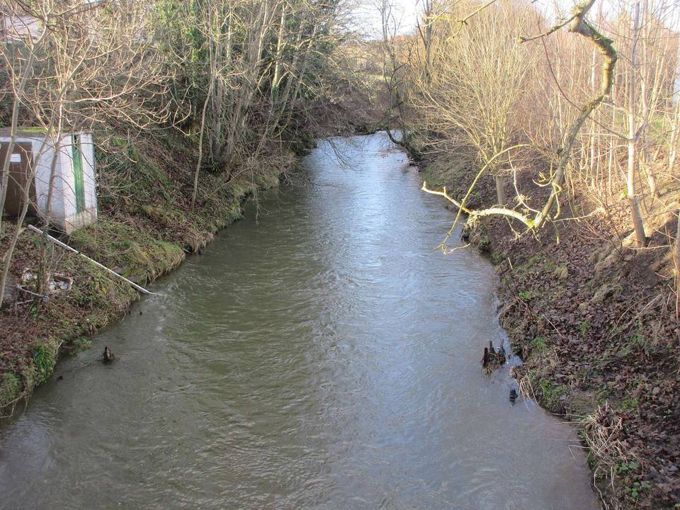
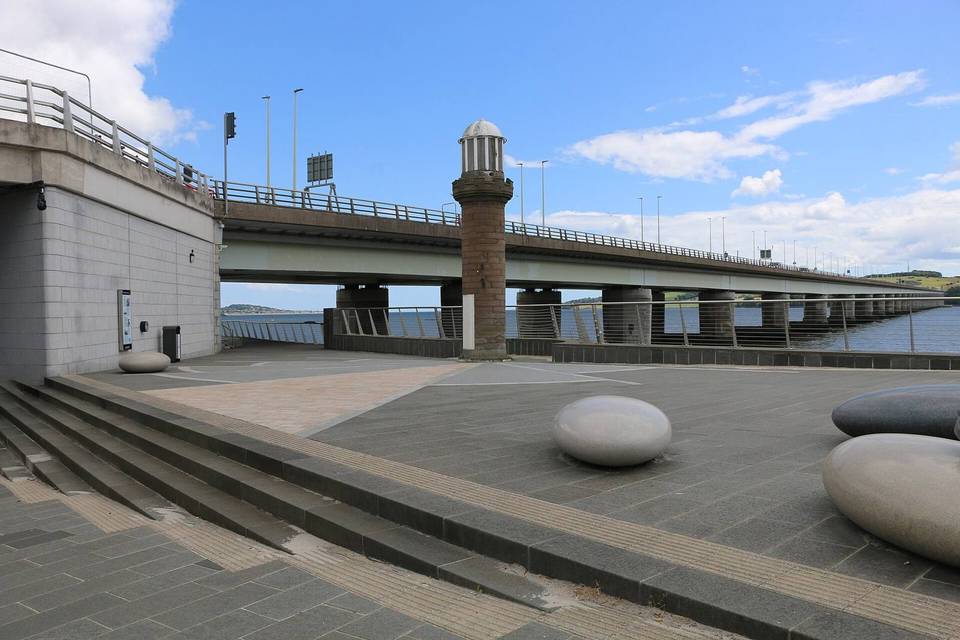
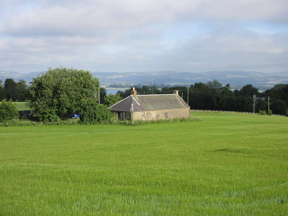
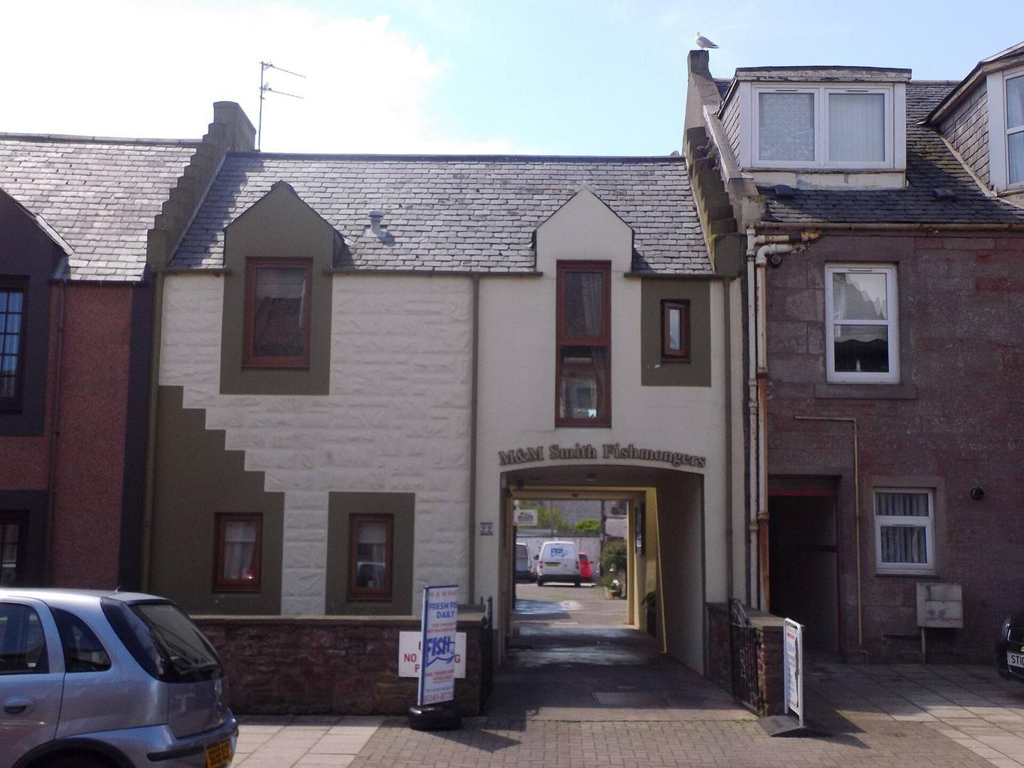
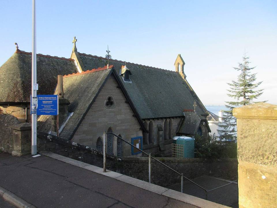
2 photographs from the road

Photo: Stanley Howe · CC BY-SA 2.0 · Wikimedia Commons · Photo: WeeHolly · CC BY-SA 4.0 · Wikimedia Commons · Photo: Scott Cormie · CC BY-SA 2.0 · Wikimedia Commons

Stage of