National Cycle Route 77
- 79 km
- 492 m
- Moderate
- Paved
Elevation profile
- 492 m
- 79 km
Route overview
Cyclists prepared for a medium-distance route with moderate climbing and mixed road surfaces.
National Cycle Route 77 is a 79 km ride from Dundee through Perthshire with 492 m climbing.
Starting at Dundee's City Quay, the route quickly passes through the City Centre and West End before heading northwest through suburban areas like Logie and Ninewells. The route covers a mix of minor roads (47%) and main roads (23%), with 16% on cycle paths and smaller shares on quiet streets, tracks and paths. The first 20 km have limited facilities, with the longest stretch without a café, shop, or water from km 6.3 to 20.1. Climbing starts gently with a notable 4.1 km climb from km 28.2 gaining 122 m at an average of 3%, peaking beneath Glencarse Hill near km 32.6. A second shorter climb begins around km 44.3, raising 48 m over 2.1 km. The highest point on the route is at 144 m around km 32.3. The route then descends towards Perth at 36.4 km, providing more shops, cafés, and bike shops. Additional climbs and rolling terrain continue into the route's latter stages, finishing near Logierait at 77.6 km. The surface is mostly paved (98%), with 2% gravel or unpaved segments. There are 13.8 km without refreshment or shop options early on, but many venues and bailouts at stations like Dundee, Invergowrie, Perth, and Dunkeld and Birnam.
Highlights
- Climb beneath Glencarse Hill and Binn Hill
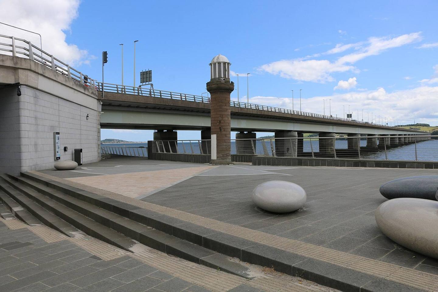
- Views near Tay View at 3.7 km
- Pass through Perth City Centre at 36.4 km
- Archaeological sites near Newton of Glencarse
Along the route
Places passed
Climbs
| Climb | Starts at | Length | Gain | Average | Max | Top |
|---|---|---|---|---|---|---|
| — | 28.2 km | 4.1 km | 122 m | 3 % | 10.7 % | 144 m |
| — | 44.3 km | 2.1 km | 48 m | 2.3 % | 4.3 % | 71 m |
What this ride is like
- Roads
- 47% minor road · 23% main road · 16% cycle path · 7% quiet street
- Main roads
- 18 km on main roads without a cycle lane — likely busier
- Fast roads
- 35.7 km on roads with a limit of 80 km/h or more
- Cycle paths
- 12.7 km on cycle paths or roads with a cycle lane
- Main roads used
- B898 (9 km), B867 (7 km)
- Surface
- Paved throughout
- Gradient
- 15% climbing · 12% descending · 73% flat
- Steep sections
- 0.9 km over 5% · 0.4 km over 8% · steepest 500 m averages 9% at 30.3 km
- Longest descent
- 2.8 km from 34.1 km, dropping 130 m
Along the way
Food, water and shops
- 0.1 kmForks Café · café · 40 m off route
- 0.1 kmDundee Cycle Hub Waterfront · bike rental · 50 m off route
- 0.3 kmBoots · pharmacy · 390 m off route
- 0.5 kmToilets · 40 m off route
- 1.2 kmTesco · petrol station · 50 m off route
- 20.1 kmThe Carse Chemist · pharmacy · on the route
- 20.2 kmThe Lass O'Gowrie · café · 30 m off route
- 20.2 kmToilets · on the route
- 26.4 kmSt Madoes Store · convenience store · on the route
- 36.1 kmDavidsons Chemists · pharmacy · 30 m off route
- 36.3 kmJ M Richards · bike shop · 120 m off route
- 36.4 kmKafe Krishna · café · on the route
- 45 kmBridgeton Stores · convenience store · on the route
- 54.9 kmThe Atholl · pub · on the route
- 63 kmThe Cauld Well · spring · 170 m off route
- 64.2 kmCo-op Food · convenience store · on the route
- 64.2 kmDavidsons Chemists · pharmacy · on the route
- 64.3 kmProgression Bikes · bike shop · 50 m off route
Need to bail out?
- 0.5 km — Dundee (station), 110 m off route
- 6.8 km — Invergowrie (station), on the route
- 36.4 km — Perth (station), 1.0 km off route
- 62.9 km — Dunkeld and Birnam (station), on the route
Worth a stop
- 3.7 km — Tay View (viewpoint)
- 27.3 km — Newton of Glencarse (archaeological site)
- 36.4 km — Albert Monument (monument)
- 44.7 km — College Mill (archaeological site)
- 64.7 km — Stanley Hill (peak, 69 m)
- 73.7 km — Milton of Kincraigie (archaeological site)
At the start
- Forks Café · café · 120 m
- Heather Street Food · café · 230 m
- Dundee Cycle Hub Waterfront · bike rental · 130 m
- Dundee · station · 540 m
- Tatha Bar and Kitchen · restaurant · 330 m
Stay after this ride
- Logierait Inn · hotel · 390 m from the finish
- Castle Peroch · guest house · 2.5 km from the finish
- Ballinluig Hotel · hotel · 1.4 km from the finish
- Tulliemet House · hotel · 3.8 km from the finish
Practical information
- Paved
- Point to point
- 5 h 37 min
- Jun to Sep — daily highs of 16–18 °C in those months
Know before you go
- 13.8 km no café, shop or water between 6.3 km and 20.1 km
- 18 km on main roads without a cycle lane
- 35.7 km on roads with speed limits of 80 km/h or more
- About 2% gravel or unpaved surface