Cyclists.com

National Cycle Route 777

Newburgh, Fife, United KingdomRoad

Signed route The waymarked National Cycle Route 777 (Walk Wheel Cycle Trust), traced from OpenStreetMap and measured against the terrain model; no member has recorded it yet. Ridden it? Add your recording and photos.

24 km
Distance
233 m
Elevation gain
Easy
Difficulty
Paved
Surface
Download GPXMap

Elevation profile

Total ascent
233 m
Distance
24 km
050100150200m0 km510152024 km165 m · highest, at 11.4 kmStartFinish

Route overview

Suitable for cyclists able to handle moderate climbs and a 24 km distance with some busy roads.

National Cycle Route 777 in Fife, United Kingdom, runs 24.2 km from Newburgh to Newport-on-Tay with 233 m climbing.

National Cycle Route 777 starts in Newburgh and heads east through Parkhill and Logie. The first climb begins near Parkhill, lasting 1.6 km with an average gradient of 3%, reaching 55 m elevation. The route continues past Fliskmillan and Balhelvie, leading to a longer climb starting at 7.8 km for 3.5 km, averaging 2.8% gradient and rising to 164 m at about 11.4 km. The ride features mostly paved surfaces with 98% paved and 2% unmapped sections. It follows mainly minor roads for 76% of the distance, with 4.5 km on main roads, all without cycle lanes. The route passes through places including Wester Flisk, East Flisk, Hazelton Walls, and Balmerino before reaching Newport-on-Tay. Along the way, peaks such as Lindores Hill (172 m), Glenduckie Hill (218 m), and Black Craig (203 m) lie close by. There are no cafés, shops, or water points for the first 19.5 km. Food and drink options only appear near the end, around 22.3 km with a café and convenience store slightly off-route. Toilets are available at the finish near Newport-on-Tay. The route includes a long descent of 1.6 km after 12.3 km, dropping 121 m, and the steepest 500 m section has a gradient of 4.3%.

Highlights

  • Parkhill climb 1.6 km at 3%
  • Longest climb 3.5 km at 2.8%
  • Peaks near route: Lindores Hill, Glenduckie Hill, Black Craig
  • Longest descent 1.6 km dropping 121 m from 12.3 km

Along the route

Measured from the recorded track and OpenStreetMap.

Places passed

  1. Logie 5.1 km
  2. Fliskmillan 6.1 km
  3. Balhelvie 7.2 km
  4. Wester Flisk 8.1 km
  5. East Flisk 9.1 km
  6. Hazelton Walls 10.5 km
  7. Coultra 12.2 km
  8. Byres 13.8 km
  9. Balmerino 14.1 km
  10. Kirkton of Balmerino 14.4 km
  11. Bottomcraig 15.1 km
  12. Naughton 15.5 km
  13. The Gauldry 15.9 km
  14. Wormit 19.7 km
  15. Woodhaven 20.9 km

Climbs

ClimbStarts atLengthGainAverageMaxTop
0.1 km1.6 km48 m3 %3.6 %55 m
7.8 km3.5 km99 m2.8 %4.6 %164 m

High point 164 m at 11.4 km; low point 7 m. Passes beneath Lindores Hill, Glenduckie Hill, Fliskmillan Hill.

What this ride is like

Measured from OpenStreetMap along the track and the elevation profile.

Roads
76% minor road · 19% main road · 3% path
Main roads
4.5 km on main roads without a cycle lane — likely busier
Fast roads
15.2 km on roads with a limit of 80 km/h or more
Main roads used
B946 (4 km)
Surface
Paved throughout
Gradient
33% climbing · 18% descending · 49% flat

Along the way

Within a few hundred metres of the track, from OpenStreetMap. Opening hours change — treat this as where to look, not a promise.

Longest stretch without a café, shop or water: 20 km, from 0 km to 20 km.

Food, water and shops

  1. 22.3 kmKitch n Bake · café · on the route
  2. 22.5 kmRowlands Pharmacy · pharmacy · 410 m off route
  3. 22.6 kmScotmid · convenience store · on the route
  4. 24 kmToilets · on the route

Worth a stop

  • 0 kmLindores Abbey (ruins) (ruins)
  • 10.7 kmCorbiehill (peak, 156 m)
  • 15.5 kmNaughton Castle (castle)
  • 19.9 kmWormit Hill (peak, 99 m)

At the finish

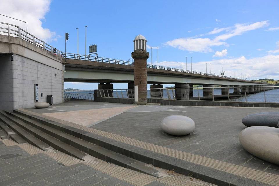
  • Tay Road Bridge Kiosk · café · 120 m
  • Manna Coffee · café · 890 m
  • Ballintaggart · bakery · 900 m
  • The Fifie · fast food · 920 m
  • Scotmid · convenience store · 930 m

Stay after this ride

  • The Old Boat House · guest house · 2.5 km from the finish
  • Craigtay Hotel · hotel · 2.4 km from the finish
  • Apex Hotel · hotel · 2.4 km from the finish
  • Dundee Carlton Hotel · hotel · 2.4 km from the finish
  • Tayview Hotel · hotel · 2.4 km from the finish

Practical information

Surface
Paved
Route shape
Point to point
Riding time
1 h 44 min
Best months
Jun to Sep — daily highs of 16–19 °C in those months

Know before you go

  • 4.5 km on main roads without cycle lanes
  • 15.2 km on roads with posted speed 80 km/h or more
  • No café, shop or water for 19.5 km from start
  • Steepest 500 m section 4.3% at 8.2 km

Routes are for inspiration. Roads, surfaces and conditions change — check locally and ride within your limits.

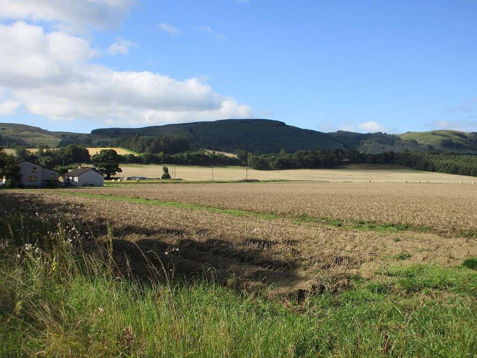
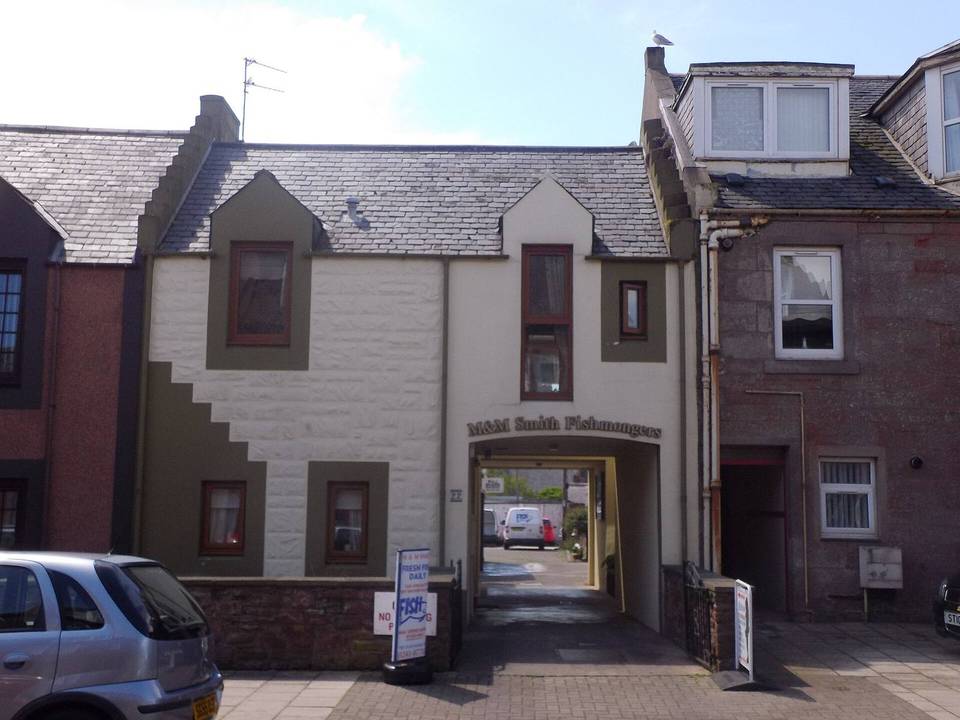
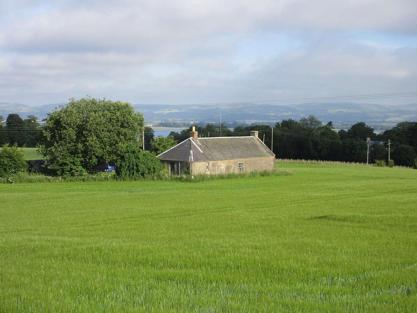
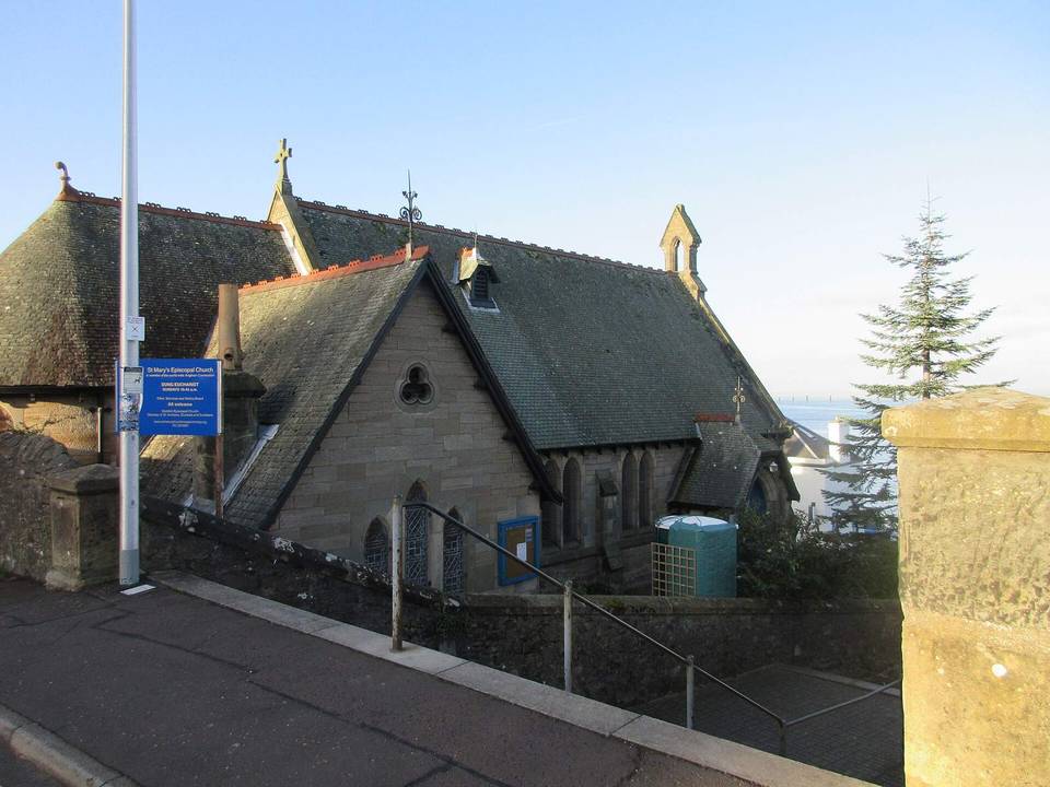
2 photographs from the road

Photo: Scott Cormie · CC BY-SA 2.0 · Wikimedia Commons · Photo: Stanley Howe · CC BY-SA 2.0 · Wikimedia Commons